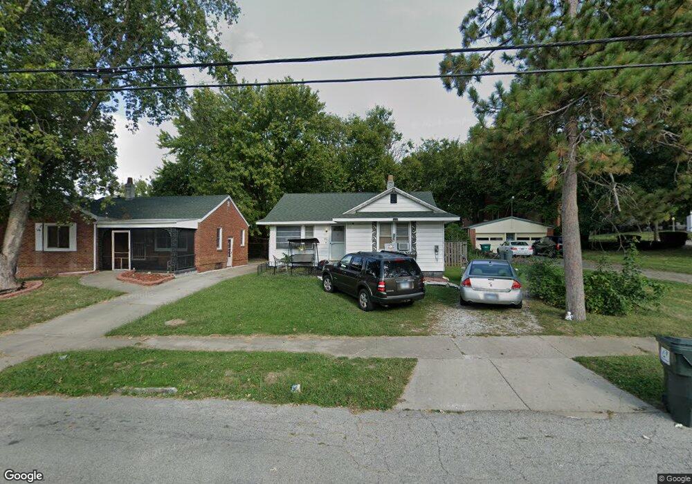
480 S Monroe St Decatur, IL 62522
Near West NeighborhoodEstimated Value: $57,000 - $90,570
--
Bed
--
Bath
--
Sq Ft
4,792
Sq Ft Lot
About This Home
This home is located at 480 S Monroe St, Decatur, IL 62522 and is currently estimated at $67,393. 480 S Monroe St is a home located in Macon County with nearby schools including Dennis Lab School, St. Patrick School, and Teen Challenge-Home For Girls.
Ownership History
Date
Name
Owned For
Owner Type
Purchase Details
Closed on
Mar 15, 2005
Sold by
Andrick Samuel E
Bought by
Clendenen Tyler Z and Currie Leslie M
Current Estimated Value
Home Financials for this Owner
Home Financials are based on the most recent Mortgage that was taken out on this home.
Original Mortgage
$44,735
Outstanding Balance
$22,770
Interest Rate
5.67%
Mortgage Type
New Conventional
Estimated Equity
$44,623
Purchase Details
Closed on
Jan 1, 1994
Create a Home Valuation Report for This Property
The Home Valuation Report is an in-depth analysis detailing your home's value as well as a comparison with similar homes in the area
Home Values in the Area
Average Home Value in this Area
Purchase History
| Date | Buyer | Sale Price | Title Company |
|---|---|---|---|
| Clendenen Tyler Z | $45,000 | None Available | |
| -- | $28,900 | -- |
Source: Public Records
Mortgage History
| Date | Status | Borrower | Loan Amount |
|---|---|---|---|
| Open | Clendenen Tyler Z | $44,735 |
Source: Public Records
Tax History Compared to Growth
Tax History
| Year | Tax Paid | Tax Assessment Tax Assessment Total Assessment is a certain percentage of the fair market value that is determined by local assessors to be the total taxable value of land and additions on the property. | Land | Improvement |
|---|---|---|---|---|
| 2024 | $801 | $14,272 | $2,579 | $11,693 |
| 2023 | $773 | $13,767 | $2,488 | $11,279 |
| 2022 | $701 | $11,539 | $2,302 | $9,237 |
| 2021 | $706 | $10,776 | $2,150 | $8,626 |
| 2020 | $729 | $10,276 | $2,050 | $8,226 |
| 2019 | $729 | $10,276 | $2,050 | $8,226 |
| 2018 | $721 | $9,266 | $1,253 | $8,013 |
| 2017 | $718 | $9,513 | $1,286 | $8,227 |
| 2016 | $725 | $9,610 | $1,299 | $8,311 |
| 2015 | $701 | $9,440 | $1,276 | $8,164 |
| 2014 | $657 | $9,346 | $1,263 | $8,083 |
| 2013 | $655 | $9,697 | $1,310 | $8,387 |
Source: Public Records
Map
Nearby Homes
- 617 W Decatur St
- 628 W Forest Ave
- 437 Powers Ln
- 441 S Seigel St
- 612 W Macon St
- 530 Powers Ln
- 450 W Macon St
- 440 W Macon St
- 657 W Wood St
- 580 Powers Ln
- 650 S Crea St
- 717 W Prairie Ave Unit 2
- 899 W Main St
- 320 W Main St
- 452 W Prairie Ave
- 442 W Prairie Ave
- 281 W Prairie Ave
- 609 W William St
- 233 N Edward St
- 366 W Prairie Ave
- 468 S Monroe St
- 454 S Monroe St
- 465 S Monroe St
- 473 S Monroe St
- 495 S Monroe St
- 487 S Ewing Ave
- 463 S Monroe St
- 442 S Monroe St
- 459 S Ewing Ave
- 453 S Ewing Ave
- 616 W Forest Ave
- 434 S Monroe St
- 459 S Monroe St
- 3 Ewing Place
- 437 S Monroe St
- 609 W Forest Ave
- 447 S Ewing Ave
- 634 W Forest Ave
- 441 S Ewing Ave
- 619 W Forest Ave