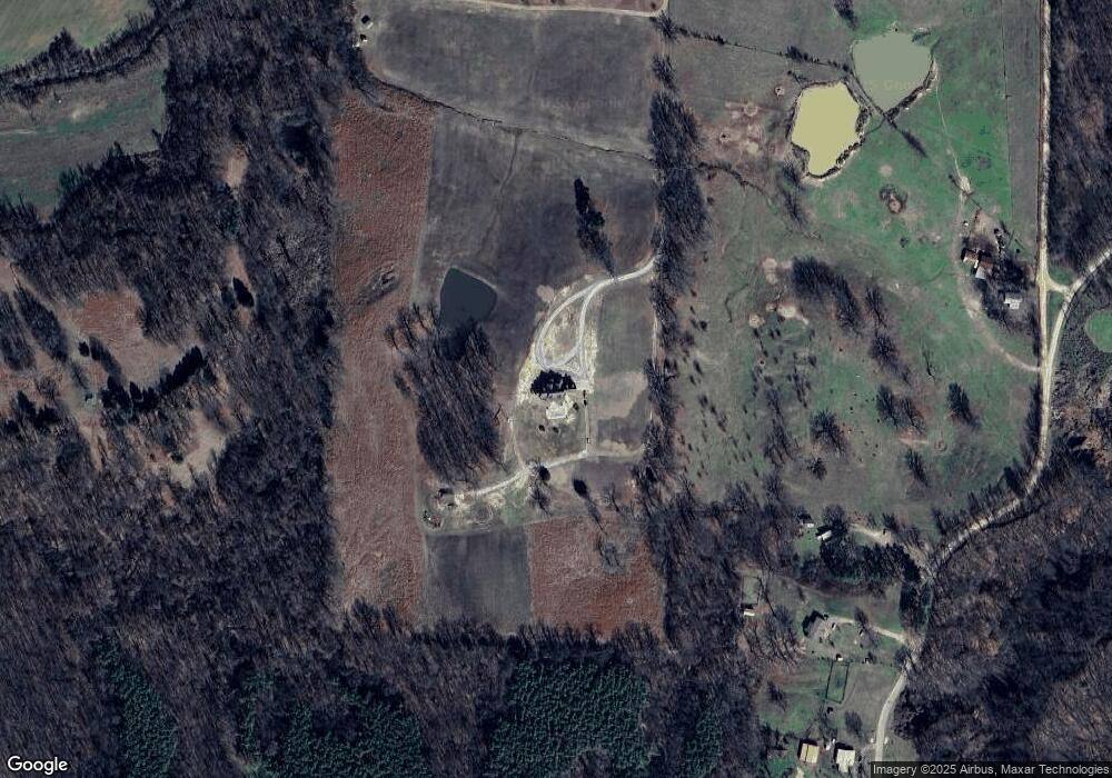
480 Sfc 434 Forrest City, AR 72335
Estimated Value: $373,584 - $416,000
--
Bed
1
Bath
4,989
Sq Ft
$79/Sq Ft
Est. Value
About This Home
This home is located at 480 Sfc 434, Forrest City, AR 72335 and is currently estimated at $395,195, approximately $79 per square foot. 480 Sfc 434 is a home with nearby schools including Central Elementary School, Stewart Elementary School, and Forrest City Junior High School.
Create a Home Valuation Report for This Property
The Home Valuation Report is an in-depth analysis detailing your home's value as well as a comparison with similar homes in the area
Home Values in the Area
Average Home Value in this Area
Tax History Compared to Growth
Tax History
| Year | Tax Paid | Tax Assessment Tax Assessment Total Assessment is a certain percentage of the fair market value that is determined by local assessors to be the total taxable value of land and additions on the property. | Land | Improvement |
|---|---|---|---|---|
| 2024 | $2,726 | $69,280 | $1,900 | $67,380 |
| 2023 | $2,488 | $69,280 | $1,900 | $67,380 |
| 2022 | $2,051 | $69,280 | $1,900 | $67,380 |
| 2021 | $1,935 | $59,540 | $2,400 | $57,140 |
| 2020 | $1,935 | $59,540 | $2,400 | $57,140 |
| 2019 | $1,995 | $59,540 | $2,400 | $57,140 |
| 2018 | $2,020 | $59,540 | $2,400 | $57,140 |
| 2017 | $2,370 | $59,540 | $2,400 | $57,140 |
| 2016 | $2,332 | $58,600 | $2,000 | $56,600 |
| 2015 | $2,332 | $58,600 | $2,000 | $56,600 |
| 2014 | $2,159 | $54,250 | $2,000 | $52,250 |
Source: Public Records
Map
Nearby Homes
- 8697 Highway 284
- 481 Sfc 333
- 802 Sfc 328
- 30+\- Acres Sfc 328
- 192 Sfc 322
- 2073 Arkansas 306
- 533 Sfc 311
- 0 Good Hope Rd
- 0 Sfc 355
- 347 Old Military Rd E
- 296 Old Military Rd E
- 211 Woods Rd
- 105 Elm Ave
- 2 Ridgewood Ln
- 0 N Washington St
- 4.59 Acres N Washington St
- 719 Jackson St
- 51 Sfc 445
- 917 Calvert Cove
- 361 Yorktown Dr