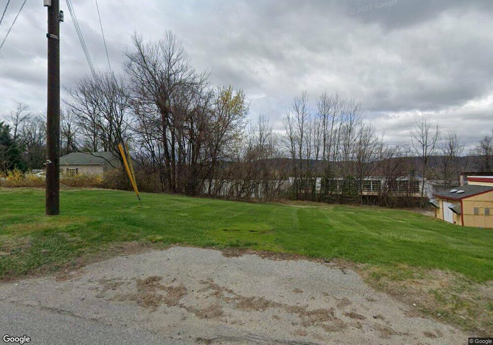
480 State Rt 515 Vernon, NJ 07462
Estimated Value: $350,000 - $423,201
--
Bed
--
Bath
1,374
Sq Ft
$286/Sq Ft
Est. Value
About This Home
This home is located at 480 State Rt 515, Vernon, NJ 07462 and is currently estimated at $393,050, approximately $286 per square foot. 480 State Rt 515 is a home located in Sussex County with nearby schools including Lounsberry Hollow, Rolling Hills Elementary School, and Glen Meadow School.
Ownership History
Date
Name
Owned For
Owner Type
Purchase Details
Closed on
Apr 1, 2021
Sold by
Ohler Virginia D and Brzenk Virginia D
Bought by
Alstra Associates Llc
Current Estimated Value
Home Financials for this Owner
Home Financials are based on the most recent Mortgage that was taken out on this home.
Original Mortgage
$900
Interest Rate
2.9%
Mortgage Type
Purchase Money Mortgage
Create a Home Valuation Report for This Property
The Home Valuation Report is an in-depth analysis detailing your home's value as well as a comparison with similar homes in the area
Home Values in the Area
Average Home Value in this Area
Purchase History
| Date | Buyer | Sale Price | Title Company |
|---|---|---|---|
| Alstra Associates Llc | $120,000 | Old Republic Title | |
| Aistra Associates Llc | $120,000 | Old Republic Title |
Source: Public Records
Mortgage History
| Date | Status | Borrower | Loan Amount |
|---|---|---|---|
| Previous Owner | Aistra Associates Llc | $900 | |
| Previous Owner | Aistra Associates Llc | $900,000 |
Source: Public Records
Tax History Compared to Growth
Tax History
| Year | Tax Paid | Tax Assessment Tax Assessment Total Assessment is a certain percentage of the fair market value that is determined by local assessors to be the total taxable value of land and additions on the property. | Land | Improvement |
|---|---|---|---|---|
| 2025 | $7,609 | $361,600 | $176,900 | $184,700 |
| 2024 | $7,229 | $311,700 | $143,700 | $168,000 |
| 2023 | $7,229 | $278,800 | $113,900 | $164,900 |
| 2022 | $3,820 | $135,500 | $105,400 | $30,100 |
| 2021 | $4,300 | $136,800 | $89,600 | $47,200 |
| 2020 | $5,277 | $168,600 | $89,600 | $79,000 |
| 2019 | $5,504 | $195,300 | $108,000 | $87,300 |
| 2018 | $5,259 | $195,300 | $108,000 | $87,300 |
| 2017 | $5,119 | $195,300 | $108,000 | $87,300 |
| 2016 | $5,111 | $195,300 | $108,000 | $87,300 |
| 2015 | $5,093 | $195,300 | $108,000 | $87,300 |
| 2014 | $5,140 | $195,300 | $108,000 | $87,300 |
Source: Public Records
Map
Nearby Homes
- 12 Breakneck Rd
- 13 Village Way Unit 7
- 437 455 Rt 515
- 429 County Route 515
- 000 Main
- 3 Village Way Unit 1
- 4-16 New Jersey 94
- 277 New Jersey 94
- 505 Accomac Rd518abri
- 507 Abricada Rd
- 3 Commerce St
- 8 Nimbus Dr
- 6 Alamoosook Rd
- 85 Breakneck Rd
- 503 Pocasset Rd
- 91 Breakneck Rd
- 200 State Rt 94 Unit 408
- 200 State Rt 94 Unit 215
- 200 State Rt 94 Unit 308
- 200 State Rt 94 Unit 314
- 480 County Road 515
- 474 County Route 515
- 482 State Rt 515
- 479 County Route 515
- 472 County Route 515
- 4 Eugene Parker Ln
- 483 County Route 515
- 471 County Route 515
- 2 Eugene Parker Ln
- 487 Route 515
- 470 County Route 515
- 473 County Road 515
- 10 Breakneck Rd
- 488 County Road 515
- 4 Curtis Rd
- 4 Curtis Dr
- 6 Curtis Dr
- 8 Curtis Rd
- 468 County Route 515
- 493 Route 515
