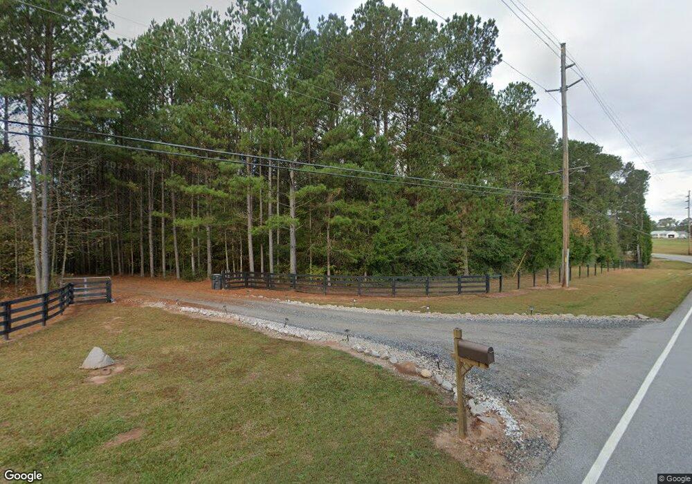
480 Stewart Rd Lagrange, GA 30241
Estimated Value: $496,000 - $1,956,000
About This Home
This home is located at 480 Stewart Rd, Lagrange, GA 30241 and is currently estimated at $1,440,232, approximately $244 per square foot. 480 Stewart Rd is a home located in Troup County with nearby schools including Callaway Elementary School, Hogansville Elementary School, and Callaway Middle School.
Ownership History
We collect this data history from publicly available records. To have your information removed, we recommend requesting removal directly through your county’s website.
Purchase Details
Home Financials for this Owner
Home Financials are based on the most recent Mortgage that was taken out on this home.Purchase Details
Purchase Details
Purchase Details
Purchase Details
Purchase Details
Purchase Details
Purchase Details
Home Financials for this Owner
Home Financials are based on the most recent Mortgage that was taken out on this home.Purchase Details
Purchase History
We collect this data history from publicly available records. To have your information removed, we recommend requesting removal directly through your county’s website.
| Date | Buyer | Sale Price | Title Company |
|---|---|---|---|
| $1,630,000 | -- | ||
| $487,965 | -- | ||
| $600,000 | -- | ||
| -- | -- | ||
| $16,800 | -- | ||
| $400,000 | -- | ||
| $925,000 | -- | ||
| $2,583,406 | -- | ||
| $167,000 | -- |
Mortgage History
We collect this data history from publicly available records. To have your information removed, we recommend requesting removal directly through your county’s website.
| Date | Status | Borrower | Loan Amount |
|---|---|---|---|
| Open | $826,000 | ||
| Previous Owner | $2,066,725 |
Tax History
We collect this data history from publicly available records. To have your information removed, we recommend requesting removal directly through your county’s website.
| Year | Tax Paid | Tax Assessment Tax Assessment Total Assessment is a certain percentage of the fair market value that is determined by local assessors to be the total taxable value of land and additions on the property. | Land | Improvement |
|---|---|---|---|---|
| 2025 | $13,756 | $676,960 | $191,440 | $485,520 |
| 2024 | $13,228 | $655,640 | $191,440 | $464,200 |
| 2023 | $13,162 | $658,280 | $191,440 | $466,840 |
| 2022 | $12,894 | $633,440 | $191,080 | $442,360 |
| 2021 | $10,961 | $456,800 | $112,440 | $344,360 |
| 2020 | $6,801 | $365,240 | $204,200 | $161,040 |
| 2019 | $1,727 | $156,840 | $156,840 | $0 |
| 2018 | $1,677 | $156,840 | $156,840 | $0 |
| 2017 | $4,730 | $156,840 | $156,840 | $0 |
| 2016 | $1,585 | $156,873 | $156,873 | $0 |
| 2015 | $1,602 | $161,077 | $161,077 | $0 |
| 2014 | $4,842 | $160,000 | $160,000 | $0 |
| 2013 | -- | $298,973 | $298,973 | $0 |
Map
- 201 & 203 Alton Dr
- 112 Greenbriar Trail
- 2477 Upper Big Springs Rd
- 91 Almond Rd
- 229 John Lovelace Rd
- 429 Jasmine Cir
- 312 Preakness Dr
- 100 Dove Creek Ct
- 202 Millwood Ct
- 830 John Lovelace Rd
- 311 Mourning Ct Unit LOT 33
- 208 N Davis Rd
- 950 John Lovelace Rd
- 61 Nantucket Dr
- 142 Carr Rd
- 155 Mallory Dr
- 129 Mallory Dr
- 113 Evans Ct
- 120 Mallory Dr
- 101 Beaver Creek Way
- 560 Stewart Rd
- 535 Stewart Rd
- 511 Stewart Rd
- 529 Stewart Rd
- 362 Stewart Rd
- 314 Stewart Rd
- 387 Stewart Rd
- 13+/- Acres
- 83+/- Acre Salem Rd
- 0 Kia Dr Unit 8330508
- 0 Robert Hayes New Fronklin Rd Unit 8070702
- 0 May Ryan Unit 42 LOTS 7044216
- 0 New Franklin Robert Hayes Rd Unit 8070701
- Lot 40 Flat Creek Dr
- Lot 39 Flat Creek Dr
- Lot 4 Flat Creek Dr
- Lot 3 Flat Creek Dr
- Lot 34 Flat Creek Dr
- 0 May Ryan Unit 22 07137259
- 0 0 Unit 2958497
Ask me questions while you tour the home.