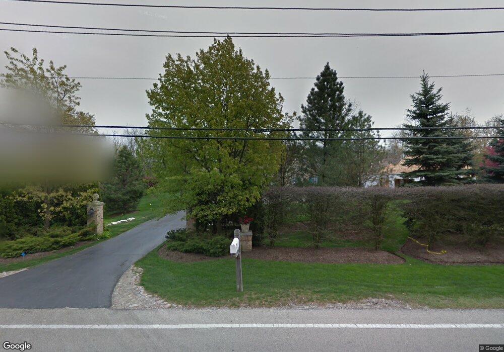
480 Voltz Rd Northbrook, IL 60062
Estimated Value: $2,126,000 - $3,004,000
5
Beds
5
Baths
8,715
Sq Ft
$294/Sq Ft
Est. Value
About This Home
This home is located at 480 Voltz Rd, Northbrook, IL 60062 and is currently estimated at $2,559,634, approximately $293 per square foot. 480 Voltz Rd is a home located in Cook County with nearby schools including Middlefork Primary School, Sunset Ridge Elementary School, and New Trier Township High School - Northfield.
Ownership History
Date
Name
Owned For
Owner Type
Purchase Details
Closed on
Apr 1, 1996
Sold by
Sturch Michael E and Sturch Sherry
Bought by
Vancor Inc
Current Estimated Value
Home Financials for this Owner
Home Financials are based on the most recent Mortgage that was taken out on this home.
Original Mortgage
$1,875,000
Interest Rate
7.36%
Mortgage Type
Construction
Create a Home Valuation Report for This Property
The Home Valuation Report is an in-depth analysis detailing your home's value as well as a comparison with similar homes in the area
Home Values in the Area
Average Home Value in this Area
Purchase History
| Date | Buyer | Sale Price | Title Company |
|---|---|---|---|
| Vancor Inc | $1,275,000 | -- |
Source: Public Records
Mortgage History
| Date | Status | Borrower | Loan Amount |
|---|---|---|---|
| Closed | Vancor Inc | $1,875,000 |
Source: Public Records
Tax History
| Year | Tax Paid | Tax Assessment Tax Assessment Total Assessment is a certain percentage of the fair market value that is determined by local assessors to be the total taxable value of land and additions on the property. | Land | Improvement |
|---|---|---|---|---|
| 2025 | $39,130 | $281,000 | $67,901 | $213,099 |
| 2024 | $39,130 | $183,000 | $60,357 | $122,643 |
| 2023 | $37,377 | $183,000 | $60,357 | $122,643 |
| 2022 | $37,377 | $183,000 | $60,357 | $122,643 |
| 2021 | $41,630 | $172,442 | $52,812 | $119,630 |
| 2020 | $40,855 | $172,442 | $52,812 | $119,630 |
| 2019 | $40,288 | $189,497 | $52,812 | $136,685 |
| 2018 | $42,954 | $192,489 | $45,267 | $147,222 |
| 2017 | $41,671 | $192,489 | $45,267 | $147,222 |
| 2016 | $39,077 | $192,489 | $45,267 | $147,222 |
| 2015 | $38,812 | $174,017 | $37,723 | $136,294 |
| 2014 | $37,850 | $174,017 | $37,723 | $136,294 |
| 2013 | $36,328 | $174,017 | $37,723 | $136,294 |
Source: Public Records
Map
Nearby Homes
- 1930 Sunset Ridge Rd
- 24 Bridlewood Rd
- 2154 Northgate Rd
- 849 Country Club Ln
- 34 Bridlewood Rd
- 898 Bridlegate Ln
- 831 Balmoral Ln
- 2122 Middlefork Rd
- 4 Steeple Chase Ln
- 1135 Buttonwood Ln
- 1013 Longaker Rd
- 1000 Dell Rd
- 2150 Founders Dr Unit 247
- 2150 Founders Dr Unit 234
- 2220 Founders Dr Unit 213
- 2220 Founders Dr Unit P102
- 2220 Founders Dr Unit 107
- 2220 Founders Dr Unit 316
- 2220 Founders Dr Unit 119
- 2220 Founders Dr Unit 314
- 470 Voltz Rd
- 450 Voltz Rd
- 500 Voltz Rd
- 1644 Sunset Ridge Rd
- 440 Voltz Rd
- 475 Voltz Rd
- 510 Voltz Rd
- 515 Voltz Rd
- 425 Voltz Rd
- 1640 Sunset Ridge Rd
- 520 Voltz Rd
- 601 Driftwood Ln
- 1660 Sunset Ridge Rd
- 529 Voltz Rd
- 1661 North Ln
- 415 Voltz Rd
- 1750 South Ln
- 1636 Sunset Ridge Rd
- 545 Voltz Rd
- 635 Driftwood Ln
Your Personal Tour Guide
Ask me questions while you tour the home.