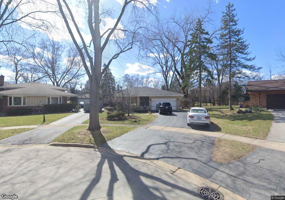
480 W Commonwealth Ln Elmhurst, IL 60126
Estimated Value: $472,014 - $555,000
4
Beds
--
Bath
1,469
Sq Ft
$344/Sq Ft
Est. Value
About This Home
This home is located at 480 W Commonwealth Ln, Elmhurst, IL 60126 and is currently estimated at $505,754, approximately $344 per square foot. 480 W Commonwealth Ln is a home located in DuPage County with nearby schools including Salt Creek Elementary School, Stella May Swartz Elementary School, and John E Albright Middle School.
Ownership History
Date
Name
Owned For
Owner Type
Purchase Details
Closed on
May 25, 2006
Sold by
Doyle Sharon M and Doyle Michael J
Bought by
Mazeika Peter and Mazeika Laura
Current Estimated Value
Home Financials for this Owner
Home Financials are based on the most recent Mortgage that was taken out on this home.
Original Mortgage
$171,650
Outstanding Balance
$100,883
Interest Rate
6.66%
Mortgage Type
Fannie Mae Freddie Mac
Estimated Equity
$404,871
Create a Home Valuation Report for This Property
The Home Valuation Report is an in-depth analysis detailing your home's value as well as a comparison with similar homes in the area
Home Values in the Area
Average Home Value in this Area
Purchase History
| Date | Buyer | Sale Price | Title Company |
|---|---|---|---|
| Mazeika Peter | $413,000 | Premier Title |
Source: Public Records
Mortgage History
| Date | Status | Borrower | Loan Amount |
|---|---|---|---|
| Open | Mazeika Peter | $171,650 |
Source: Public Records
Tax History
| Year | Tax Paid | Tax Assessment Tax Assessment Total Assessment is a certain percentage of the fair market value that is determined by local assessors to be the total taxable value of land and additions on the property. | Land | Improvement |
|---|---|---|---|---|
| 2024 | $8,254 | $160,501 | $40,682 | $119,819 |
| 2023 | $7,085 | $148,420 | $37,620 | $110,800 |
| 2022 | $6,737 | $141,740 | $36,160 | $105,580 |
| 2021 | $6,856 | $138,210 | $35,260 | $102,950 |
| 2020 | $6,783 | $135,180 | $34,490 | $100,690 |
| 2019 | $6,520 | $128,520 | $32,790 | $95,730 |
| 2018 | $6,642 | $127,530 | $31,040 | $96,490 |
| 2017 | $6,542 | $121,530 | $29,580 | $91,950 |
| 2016 | $6,164 | $114,490 | $27,870 | $86,620 |
| 2015 | $6,078 | $106,660 | $25,960 | $80,700 |
| 2014 | $6,566 | $109,680 | $23,700 | $85,980 |
| 2013 | $6,497 | $111,220 | $24,030 | $87,190 |
Source: Public Records
Map
Nearby Homes
- 465 W Verret St
- 625 E Van Buren St
- 964 S Hillside Ave
- 8 Saint Regis Ct
- 3 Charlotte Cir
- 1335 S Villa Ave
- 3 Dewalt Ct
- 1S045 Spring Rd Unit H2
- 1S045 Spring Rd Unit 1D
- 868 S Spring Rd
- 995 S Swain Ave
- 1S055 Spring Rd Unit 1C
- 2 S Atrium Way Unit 606
- 20 Oak Tree Ct
- 936 S Mitchell Ave
- 1 Maple Tree Ct
- 769 S Fairview Ave
- 4 Oak Brook Club Dr Unit G205
- 1105 S Euclid Ave
- 614 E Madison St
- 476 W Commonwealth Ln
- 483 W Commonwealth Ln
- 474 W Commonwealth Ln
- 1051 S Riverside Dr
- 1057 S Riverside Dr
- 1045 S Riverside Dr
- 470 W Commonwealth Ln
- 489 W Avery St
- 1039 S Riverside Dr
- 485 W Avery St
- 485 W Avery St
- 495 W Avery St
- 466 W Commonwealth Ln
- 459 W Commonwealth Ln
- 501 W Avery St
- 481 W Avery St
- 481 W Commonwealth Ln
- 462 W Commonwealth Ln
- 503 W Avery St
Your Personal Tour Guide
Ask me questions while you tour the home.