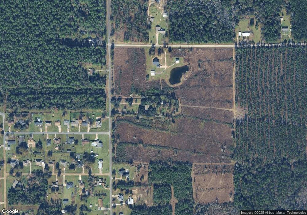
480 Wingate Rd Deridder, LA 70634
Estimated Value: $240,651 - $290,000
3
Beds
3
Baths
2,796
Sq Ft
$95/Sq Ft
Est. Value
About This Home
This home is located at 480 Wingate Rd, Deridder, LA 70634 and is currently estimated at $265,163, approximately $94 per square foot. 480 Wingate Rd is a home located in Beauregard Parish with nearby schools including K.R. Hanchey Elementary School, Pine Wood Elementary School, and Carver Elementary School.
Ownership History
Date
Name
Owned For
Owner Type
Purchase Details
Closed on
Sep 19, 2013
Sold by
Bailey Morgan Patrick and Bailey Deborah Kim Tuck
Bought by
Wingate Properties Llc
Current Estimated Value
Purchase Details
Closed on
Aug 6, 2012
Sold by
Wingate Shawn Alan and Wingate Samantha Veoncile White
Bought by
Ward Klancy Lee
Home Financials for this Owner
Home Financials are based on the most recent Mortgage that was taken out on this home.
Original Mortgage
$185,940
Interest Rate
3.63%
Create a Home Valuation Report for This Property
The Home Valuation Report is an in-depth analysis detailing your home's value as well as a comparison with similar homes in the area
Home Values in the Area
Average Home Value in this Area
Purchase History
| Date | Buyer | Sale Price | Title Company |
|---|---|---|---|
| Wingate Properties Llc | -- | -- | |
| Ward Klancy Lee | $180,000 | -- |
Source: Public Records
Mortgage History
| Date | Status | Borrower | Loan Amount |
|---|---|---|---|
| Previous Owner | Ward Klancy Lee | $185,940 |
Source: Public Records
Tax History Compared to Growth
Tax History
| Year | Tax Paid | Tax Assessment Tax Assessment Total Assessment is a certain percentage of the fair market value that is determined by local assessors to be the total taxable value of land and additions on the property. | Land | Improvement |
|---|---|---|---|---|
| 2024 | $2,011 | $17,000 | $1,460 | $15,540 |
| 2023 | $2,032 | $16,740 | $1,200 | $15,540 |
| 2022 | $2,031 | $16,740 | $1,200 | $15,540 |
| 2021 | $2,031 | $16,740 | $1,200 | $15,540 |
| 2020 | $2,031 | $16,740 | $1,200 | $15,540 |
| 2019 | $2,032 | $16,740 | $1,200 | $15,540 |
| 2018 | $2,032 | $16,740 | $1,200 | $15,540 |
| 2017 | $2,032 | $16,740 | $1,200 | $15,540 |
| 2016 | $2,020 | $16,740 | $1,200 | $15,540 |
| 2015 | $1,084 | $16,740 | $1,200 | $15,540 |
| 2014 | $1,084 | $16,740 | $1,200 | $15,540 |
Source: Public Records
Map
Nearby Homes
- 549 Wingate Rd
- 0 Tbd Land Bayou Pines Lot 57
- 0 Stillwood
- 190 Blue Ridge Rd Unit Blue Ridge
- 2389 Glendale Rd
- 2570 U S 190
- 134 P W Dr W
- 119 Henderson St
- 111 Henderson St
- 0 Planer Mill Rd
- 3460 U S 190
- 3434 U S 190
- 1914 Donna Dr
- 147 S Planer Mill Rd
- 2385 Rainwater Rd Unit Road
- 1938 Glendale Rd
- 3610 U S 190
- 333 Dees St
- 2125 U S 190
- 0 Highway 190 Unit 26-5128
- 2637 Massey Rd
- 455 Wingate Rd
- 2633 Massey Rd
- 511 Wingate Rd
- 2613 Russ St
- 2628 Russ St
- 396 Wingate Rd
- 2640 Russ St
- 2627 Russ St
- 2640 Massey Rd
- 2612 Bayou Pines Rd
- 2612 Bayou Pines Rd Unit Rd
- 2650 Russ St
- 2650 Russ St Unit Street
- 2645 Russ St
- 2630 Bayou Pines Rd
- 391 Wingate Rd
- 2660 Russ St
- 374 Wingate Rd
- 2661 Russ St
