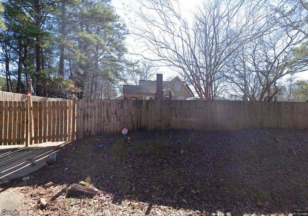
4800 Westbrook Rd Atlanta, GA 30349
Estimated Value: $233,396 - $324,000
6
Beds
4
Baths
3,087
Sq Ft
$86/Sq Ft
Est. Value
About This Home
This home is located at 4800 Westbrook Rd, Atlanta, GA 30349 and is currently estimated at $264,349, approximately $85 per square foot. 4800 Westbrook Rd is a home located in Fulton County with nearby schools including C. H. Gullatt Elementary School, Camp Creek Middle School, and Creekside High School.
Ownership History
Date
Name
Owned For
Owner Type
Purchase Details
Closed on
Jan 22, 2021
Sold by
Mckenzie Frank
Bought by
Rogers One Llc
Current Estimated Value
Home Financials for this Owner
Home Financials are based on the most recent Mortgage that was taken out on this home.
Original Mortgage
$40,000
Outstanding Balance
$29,180
Interest Rate
2.6%
Mortgage Type
New Conventional
Estimated Equity
$235,169
Purchase Details
Closed on
Jun 30, 2011
Sold by
Federal Natl Mtg Assn Fnma
Bought by
Mckenzie Pamelae and Mckenzie Frank
Purchase Details
Closed on
Jun 1, 2010
Sold by
Bank Of America
Bought by
Federal Natl Mtg Assn Fnma
Purchase Details
Closed on
Jan 23, 2004
Sold by
Ammons Carol
Bought by
Ohaya Jude
Home Financials for this Owner
Home Financials are based on the most recent Mortgage that was taken out on this home.
Original Mortgage
$127,500
Interest Rate
5.77%
Purchase Details
Closed on
Dec 15, 2003
Sold by
Aldredge Juanita B
Bought by
Wallace Richard B
Home Financials for this Owner
Home Financials are based on the most recent Mortgage that was taken out on this home.
Original Mortgage
$127,500
Interest Rate
5.77%
Purchase Details
Closed on
Jan 14, 2002
Sold by
Grier Edwond
Bought by
Ammons Carol
Home Financials for this Owner
Home Financials are based on the most recent Mortgage that was taken out on this home.
Original Mortgage
$60,000
Interest Rate
6.85%
Mortgage Type
New Conventional
Purchase Details
Closed on
Sep 28, 2000
Sold by
Vesta Holdings/Heartwood 11 Inc
Bought by
Brown Larry L
Purchase Details
Closed on
Feb 3, 1995
Sold by
Wingo Irene
Bought by
Brown Larry L
Create a Home Valuation Report for This Property
The Home Valuation Report is an in-depth analysis detailing your home's value as well as a comparison with similar homes in the area
Home Values in the Area
Average Home Value in this Area
Purchase History
| Date | Buyer | Sale Price | Title Company |
|---|---|---|---|
| Rogers One Llc | $50,000 | -- | |
| Mckenzie Pamelae | -- | -- | |
| Federal Natl Mtg Assn Fnma | -- | -- | |
| Bank Of America | $206,041 | -- | |
| Ohaya Jude | $80,000 | -- | |
| Wallace Richard B | $70,000 | -- | |
| Ammons Carol | $75,000 | -- | |
| Brown Larry L | -- | -- | |
| Brown Larry L | $52,500 | -- |
Source: Public Records
Mortgage History
| Date | Status | Borrower | Loan Amount |
|---|---|---|---|
| Open | Rogers One Llc | $40,000 | |
| Previous Owner | Ohaya Jude | $127,500 | |
| Previous Owner | Wallace Richard B | $40,000 | |
| Previous Owner | Ammons Carol | $60,000 | |
| Closed | Brown Larry L | $0 |
Source: Public Records
Tax History Compared to Growth
Tax History
| Year | Tax Paid | Tax Assessment Tax Assessment Total Assessment is a certain percentage of the fair market value that is determined by local assessors to be the total taxable value of land and additions on the property. | Land | Improvement |
|---|---|---|---|---|
| 2025 | $4,185 | $112,600 | $12,760 | $99,840 |
| 2023 | $1,855 | $65,720 | $5,360 | $60,360 |
| 2022 | $2,577 | $65,720 | $5,360 | $60,360 |
| 2021 | $2,445 | $61,080 | $3,840 | $57,240 |
| 2020 | $2,168 | $53,280 | $2,400 | $50,880 |
| 2019 | $2,068 | $52,360 | $2,360 | $50,000 |
| 2018 | $1,560 | $39,200 | $1,920 | $37,280 |
| 2017 | $1,198 | $29,400 | $1,640 | $27,760 |
| 2016 | $1,198 | $29,400 | $1,640 | $27,760 |
| 2015 | $1,202 | $29,400 | $1,640 | $27,760 |
| 2014 | $1,268 | $29,400 | $1,640 | $27,760 |
Source: Public Records
Map
Nearby Homes
- 5565 Mason Rd Unit REAR
- 4861 Wexford Trail
- 4830 Station Ln
- 4832 Station Ln Unit 12
- 4834 Station Ln
- 4834 Station Ln Unit 13
- 4836 Station Ln Unit 14
- 4418 Gladewood Run
- 4838 Station Ln Unit 15
- 4838 Station Ln
- 4840 Station Ln
- 4809 Dodson Rd
- 4759 Dodson Rd
- 4818 Station Ln
- 4822 Station Ln
- 4814 Station Ln
- 4817 Station Ln Unit 32
- 4813 Station Ln
- Cecil Plan at The Enclave at Stonewall Station
- Nelson Plan at The Enclave at Stonewall Station
- 5719 Westbrook Rd
- 4800 Westbrook Rd
- 4760 Westbrook Rd
- 0 Westbrook Dr Unit 7049608
- 4740 Westbrook Rd
- 4730 Westbrook Rd
- 5800 Westbrook Rd
- 0 Westbrook Rd
- 0 Westbrook Rd Unit 3206523
- 0 Westbrook Rd Unit 8566496
- 0 Westbrook Rd Unit 3160385
- 0 Westbrook Rd Unit 7073327
- 0 Westbrook Rd Unit 7073286
- 0 Westbrook Rd Unit 4302796
- 0 Westbrook Dr Rear Unit 40 7049678
- 4820 Westbrook Rd
- 5600 Mason Rd
- 4880 Westbrook Rd
- 5590 Mason Rd
- 4900 Westbrook Rd