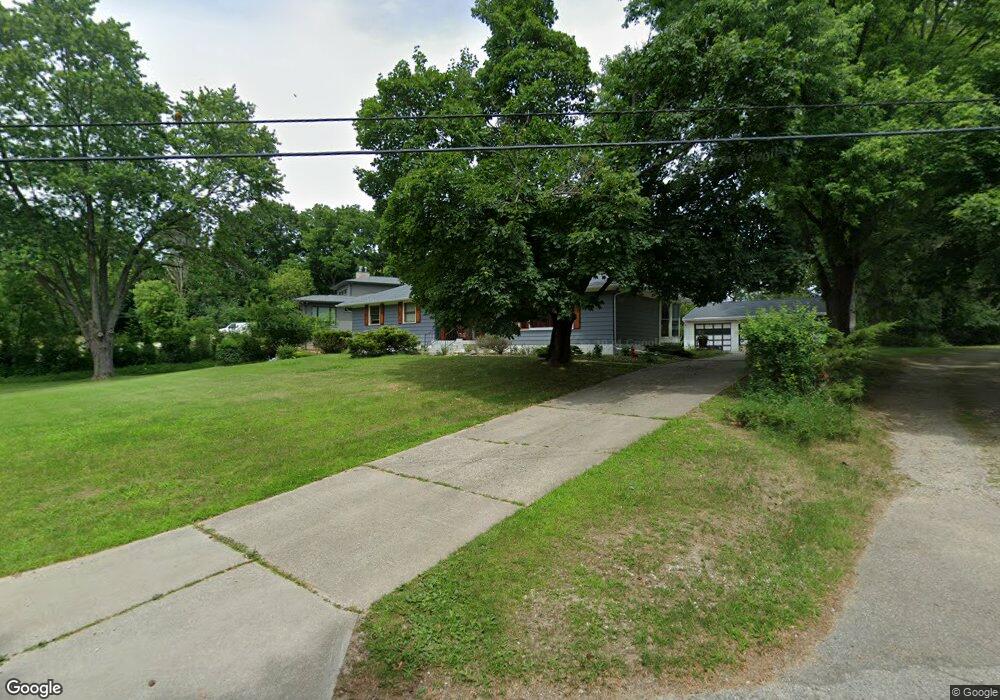
4801 Arline Dr Unit Bldg-Unit West Bloomfield, MI 48323
Estimated Value: $380,000 - $398,000
4
Beds
2
Baths
1,729
Sq Ft
$225/Sq Ft
Est. Value
About This Home
This home is located at 4801 Arline Dr Unit Bldg-Unit, West Bloomfield, MI 48323 and is currently estimated at $389,740, approximately $225 per square foot. 4801 Arline Dr Unit Bldg-Unit is a home located in Oakland County with nearby schools including Sheiko Elementary School, West Bloomfield Middle School, and The Susan And Rabbi Harold Loss Ecc.
Ownership History
Date
Name
Owned For
Owner Type
Purchase Details
Closed on
Sep 17, 2021
Sold by
Mazkas and Laima
Bought by
Charter Township Of West Bloomfield
Current Estimated Value
Purchase Details
Closed on
Jul 27, 2018
Sold by
Denha Ghazwan
Bought by
Vanbreemen Antonie Van
Home Financials for this Owner
Home Financials are based on the most recent Mortgage that was taken out on this home.
Original Mortgage
$209,000
Interest Rate
4.5%
Mortgage Type
New Conventional
Purchase Details
Closed on
Jan 31, 2006
Sold by
Brennan Thomas M and Brennan Rosaline
Bought by
Denha Ghazwan
Create a Home Valuation Report for This Property
The Home Valuation Report is an in-depth analysis detailing your home's value as well as a comparison with similar homes in the area
Home Values in the Area
Average Home Value in this Area
Purchase History
| Date | Buyer | Sale Price | Title Company |
|---|---|---|---|
| Charter Township Of West Bloomfield | -- | None Listed On Document | |
| Vanbreemen Antonie Van | $220,000 | None Available | |
| Denha Ghazwan | $300,000 | Metropolitan Title Company |
Source: Public Records
Mortgage History
| Date | Status | Borrower | Loan Amount |
|---|---|---|---|
| Previous Owner | Vanbreemen Antonie Van | $209,000 |
Source: Public Records
Tax History Compared to Growth
Tax History
| Year | Tax Paid | Tax Assessment Tax Assessment Total Assessment is a certain percentage of the fair market value that is determined by local assessors to be the total taxable value of land and additions on the property. | Land | Improvement |
|---|---|---|---|---|
| 2024 | $3,385 | $147,280 | $0 | $0 |
| 2022 | $3,021 | $130,110 | $60,000 | $70,110 |
| 2021 | $4,590 | $124,150 | $0 | $0 |
| 2020 | $2,960 | $119,320 | $60,000 | $59,320 |
| 2018 | $5,702 | $128,780 | $60,000 | $68,780 |
| 2015 | -- | $113,050 | $0 | $0 |
| 2014 | -- | $103,070 | $0 | $0 |
| 2011 | -- | $98,270 | $0 | $0 |
Source: Public Records
Map
Nearby Homes
- 4841 Leesburg Dr
- 4163 Old Dominion Dr
- 4205 Hardwoods Dr
- 4825 Mirror Lake Dr
- 4826 Cliffside Dr Unit 18
- 4832 Cliffside Dr Unit 21
- 4343 Foxpointe Dr Unit 39
- 4371 Foxpointe Dr Unit 4
- 4291 Foxpointe Dr
- 0000 Cranbrook Trail
- 4408 Knightsbridge Ln
- 4163 Autumn Ridge Dr
- 5353 W Bloomfield Lake Rd
- 3961 Will O Way Ln
- 4117 Marlwood Dr
- 5130 Lake Bluff Rd
- 7836 Trailside Ct
- 7230 Walnut Lake Lot 1 Rd
- 0000 Orchard Lake
- 7230 Walnut Lake Rd - Lot 2 Rd
- 4801 Arline Dr
- 4791 Arline Dr
- 4815 Lockhart St
- 4814 Lockhart St
- 4800 Lockhart St
- 4845 Lockhart St
- 4840 Lockhart St
- 4797 Lockhart St
- 4783 Lockhart St
- 4850 Lockhart St
- 4775 Arline Dr
- 4842 Hardwoods Dr
- 4824 Hardwoods Dr
- 4770 Arline Dr
- 4800 Hardwoods Dr
- 4766 Lockhart St
- 4866 Hardwoods Dr
- 4769 Arline Dr
- 4884 Hardwoods Dr
- 4865 Lockhart St Unit Bldg-Unit