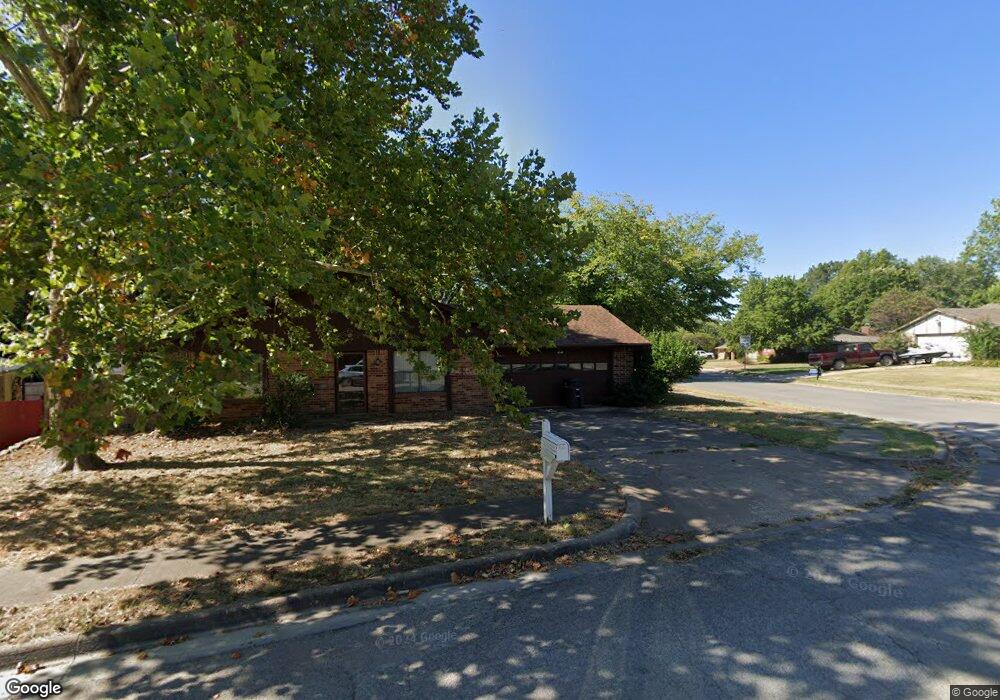
4801 Carole Ct Bartlesville, OK 74006
Estimated Value: $189,000 - $221,000
3
Beds
3
Baths
1,885
Sq Ft
$108/Sq Ft
Est. Value
About This Home
This home is located at 4801 Carole Ct, Bartlesville, OK 74006 and is currently estimated at $204,520, approximately $108 per square foot. 4801 Carole Ct is a home located in Washington County with nearby schools including Hoover Elementary School, Madison Middle School, and Bartlesville High School.
Ownership History
Date
Name
Owned For
Owner Type
Purchase Details
Closed on
May 28, 2010
Sold by
Collins Federick L
Bought by
Holland John T and Holland Janice G
Current Estimated Value
Home Financials for this Owner
Home Financials are based on the most recent Mortgage that was taken out on this home.
Original Mortgage
$131,086
Interest Rate
5%
Mortgage Type
Purchase Money Mortgage
Purchase Details
Closed on
Nov 14, 2000
Sold by
Associates Relocation
Purchase Details
Closed on
Oct 23, 2000
Sold by
Jones Richard C and Jones Elizabeth A
Create a Home Valuation Report for This Property
The Home Valuation Report is an in-depth analysis detailing your home's value as well as a comparison with similar homes in the area
Home Values in the Area
Average Home Value in this Area
Purchase History
| Date | Buyer | Sale Price | Title Company |
|---|---|---|---|
| Holland John T | $130,000 | -- | |
| -- | $89,500 | -- | |
| -- | $89,500 | -- |
Source: Public Records
Mortgage History
| Date | Status | Borrower | Loan Amount |
|---|---|---|---|
| Closed | Holland John T | $131,086 |
Source: Public Records
Tax History Compared to Growth
Tax History
| Year | Tax Paid | Tax Assessment Tax Assessment Total Assessment is a certain percentage of the fair market value that is determined by local assessors to be the total taxable value of land and additions on the property. | Land | Improvement |
|---|---|---|---|---|
| 2025 | $2,291 | $20,034 | $1,488 | $18,546 |
| 2024 | $2,291 | $19,080 | $1,488 | $17,592 |
| 2023 | $2,291 | $18,172 | $1,488 | $16,684 |
| 2022 | $2,177 | $18,172 | $1,488 | $16,684 |
| 2021 | $2,017 | $18,172 | $1,488 | $16,684 |
| 2020 | $2,062 | $18,172 | $1,488 | $16,684 |
| 2019 | $2,063 | $18,172 | $1,488 | $16,684 |
| 2018 | $2,023 | $17,923 | $1,488 | $16,435 |
| 2017 | $2,025 | $17,558 | $1,488 | $16,070 |
| 2016 | $1,842 | $17,046 | $1,488 | $15,558 |
| 2015 | $1,806 | $16,550 | $1,488 | $15,062 |
| 2014 | $1,772 | $16,068 | $1,488 | $14,580 |
Source: Public Records
Map
Nearby Homes
- 4816 Carole Ct
- 4600 Cara Lee Ln
- 313 S Fenway Place
- 397 Fleetwood Dr
- 332 Brookline Place
- 366 SE Wilshire Ave
- 4507 E Frank Phillips Blvd
- 4800 E Frank Phillips Blvd
- 4513 Tuxedo Blvd
- 4709 Amherst Dr
- 328 SE Waverly Ave
- 4944 Cornell Dr
- 300 SE Waverly Ave
- 4732 Cornell Dr
- 208 NE Spruce Ave
- 5610 Baylor Dr
- 200 SE Quail Ridge Loop
- 4701 Dartmouth Dr
- 309 N Spruce Ave
- 5608 Harvard Dr
- 4809 Carole Ct
- 4810 Fleetwood Ct
- 4817 Carole Ct
- 341 Fleetwood Dr
- 4800 Fleetwood Ct
- 4800 Carole Ct
- 4825 Carole Ct
- 4743 Melody Ln
- 4808 Carole Ct
- 4733 Melody Ln
- 4723 Melody Ln
- 4801 Melody Ln
- 4809 Fleetwood Ct
- 351 Fleetwood Dr
- 4833 Carole Ct
- 355 Fleetwood Dr
- 4715 Melody Ln
- 4817 Melody Ln
- 356 Fleetwood Dr
- 4815 Fleetwood Ct