4801 Doe Rd Waycross, GA 31503
Estimated Value: $99,000 - $170,849
3
Beds
1
Bath
816
Sq Ft
$165/Sq Ft
Est. Value
About This Home
This home is located at 4801 Doe Rd, Waycross, GA 31503 and is currently estimated at $134,962, approximately $165 per square foot. 4801 Doe Rd is a home with nearby schools including Memorial Drive Elementary School, Waycross Middle School, and Ware County High School.
Ownership History
Date
Name
Owned For
Owner Type
Purchase Details
Closed on
May 2, 2005
Sold by
Hb Properties Inc
Bought by
Ray Earl L and Ray Sheila M
Current Estimated Value
Home Financials for this Owner
Home Financials are based on the most recent Mortgage that was taken out on this home.
Original Mortgage
$34,000
Outstanding Balance
$17,542
Interest Rate
5.98%
Mortgage Type
New Conventional
Estimated Equity
$117,420
Purchase Details
Closed on
Feb 28, 2005
Sold by
Tennison James
Bought by
Hb Properties Inc
Purchase Details
Closed on
Jun 1, 2004
Sold by
Pittman Lisa M
Bought by
Tennison James and Tennison Brenda
Purchase Details
Closed on
Oct 1, 2001
Sold by
Pearson Kenneth and Pearson Li
Bought by
Pittman Lisa M
Purchase Details
Closed on
Dec 13, 1999
Sold by
H B Properties
Bought by
Pearson Kenneth and Pearson Li
Create a Home Valuation Report for This Property
The Home Valuation Report is an in-depth analysis detailing your home's value as well as a comparison with similar homes in the area
Purchase History
| Date | Buyer | Sale Price | Title Company |
|---|---|---|---|
| Ray Earl L | $35,000 | -- | |
| Hb Properties Inc | -- | -- | |
| Tennison James | -- | -- | |
| Pittman Lisa M | -- | -- | |
| Pearson Kenneth | $30,000 | -- |
Source: Public Records
Mortgage History
| Date | Status | Borrower | Loan Amount |
|---|---|---|---|
| Open | Ray Earl L | $34,000 |
Source: Public Records
Tax History
| Year | Tax Paid | Tax Assessment Tax Assessment Total Assessment is a certain percentage of the fair market value that is determined by local assessors to be the total taxable value of land and additions on the property. | Land | Improvement |
|---|---|---|---|---|
| 2025 | $690 | $27,337 | $22,273 | $5,064 |
| 2024 | $690 | $26,962 | $22,273 | $4,689 |
| 2023 | $694 | $9,386 | $7,206 | $2,180 |
| 2022 | $271 | $9,386 | $7,206 | $2,180 |
| 2021 | $294 | $9,386 | $7,206 | $2,180 |
| 2020 | $298 | $9,386 | $7,206 | $2,180 |
| 2019 | $303 | $9,386 | $7,206 | $2,180 |
| 2018 | $306 | $9,386 | $7,206 | $2,180 |
| 2017 | $306 | $9,386 | $7,206 | $2,180 |
| 2016 | $306 | $9,386 | $7,206 | $2,180 |
| 2015 | $309 | $9,385 | $7,206 | $2,180 |
| 2014 | $418 | $14,705 | $7,206 | $7,499 |
| 2013 | -- | $19,550 | $11,890 | $7,660 |
Source: Public Records
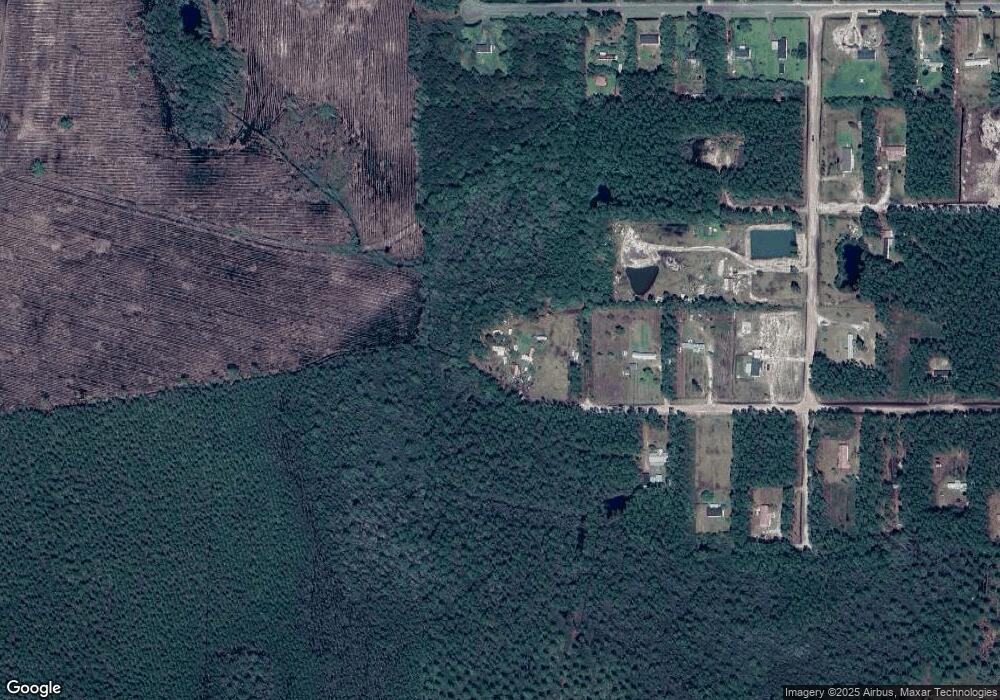
Map
Nearby Homes
- 4825 Duck Rd
- 300 Josephine Park Rd
- 8.84 Strickland Rd
- 4408 Brunswick Hwy
- 0 Miles Still Rd
- 4337 Whitehall Church Rd
- 3735 Marvin Strickland Rd
- 115 Travis Trail
- 1670 Astoria Rd
- 8280 Central Ave
- 664 Saddle Cir
- 109 Diane Dr
- 8245 Central Ave
- 627 Saddle Cir
- 606 Stonewall Jackson Place
- 851 Carriage Ln
- 932 Hitching Post Ln
- 716 Stonewall Jackson Place
- 4150 Central Ave
- 428 Driggers Ln
Your Personal Tour Guide
Ask me questions while you tour the home.