4801 Keystone Rd Turner, MI 48765
Estimated Value: $167,000 - $284,000
Studio
--
Bath
1,600
Sq Ft
$144/Sq Ft
Est. Value
About This Home
This home is located at 4801 Keystone Rd, Turner, MI 48765 and is currently estimated at $230,000, approximately $143 per square foot. 4801 Keystone Rd is a home with nearby schools including Clara B. Bolen Elementary School, Tawas Area Middle School, and Tawas Area High School.
Ownership History
Date
Name
Owned For
Owner Type
Purchase Details
Closed on
Dec 3, 2021
Sold by
Muckenthaler Richard W
Bought by
Muckenthaler Richard W and Muckenthaler Sharon A
Current Estimated Value
Home Financials for this Owner
Home Financials are based on the most recent Mortgage that was taken out on this home.
Original Mortgage
$135,200
Outstanding Balance
$117,009
Interest Rate
3.09%
Mortgage Type
Stand Alone Refi Refinance Of Original Loan
Estimated Equity
$112,991
Create a Home Valuation Report for This Property
The Home Valuation Report is an in-depth analysis detailing your home's value as well as a comparison with similar homes in the area
Purchase History
| Date | Buyer | Sale Price | Title Company |
|---|---|---|---|
| Muckenthaler Richard W | -- | None Listed On Document |
Source: Public Records
Mortgage History
| Date | Status | Borrower | Loan Amount |
|---|---|---|---|
| Open | Muckenthaler Richard W | $135,200 |
Source: Public Records
Tax History
| Year | Tax Paid | Tax Assessment Tax Assessment Total Assessment is a certain percentage of the fair market value that is determined by local assessors to be the total taxable value of land and additions on the property. | Land | Improvement |
|---|---|---|---|---|
| 2025 | $785 | $91,000 | $0 | $91,000 |
| 2024 | $1,118 | $95,700 | $0 | $0 |
| 2023 | $654 | $75,400 | $5,000 | $70,400 |
| 2022 | $948 | $63,600 | $5,000 | $58,600 |
| 2021 | $986 | $64,900 | $5,000 | $59,900 |
| 2020 | $957 | $58,100 | $5,000 | $53,100 |
| 2019 | $938 | $58,200 | $5,000 | $53,200 |
| 2018 | $916 | $50,000 | $3,600 | $46,400 |
| 2017 | $850 | $49,500 | $49,500 | $0 |
| 2016 | $811 | $49,500 | $0 | $0 |
| 2015 | -- | $55,600 | $0 | $0 |
| 2014 | -- | $55,400 | $0 | $0 |
| 2013 | -- | $55,300 | $0 | $0 |
Source: Public Records
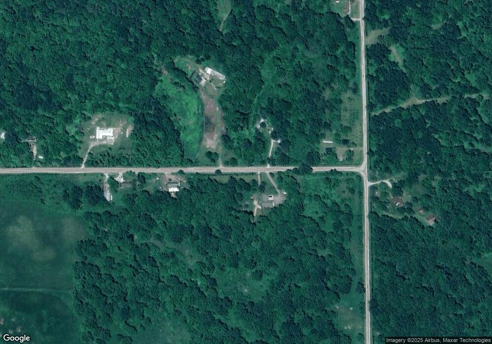
Map
Nearby Homes
- N/A Crosby Rd
- 5363 Keystone Rd
- 6686 Keystone Rd
- 6824 Keystone Rd
- 1831 Kitchen Rd
- 77 W Mason Rd
- Rd
- 388 W Lagrant Rd
- 1240 N Young Rd
- 316 S Bullock St
- 7207 Prescott Rd
- 1870 Michigan 65
- 100 & 102 S Bullock St
- 1.5 Acres Alabaster Rd
- 78.5 Acres Alabaster Rd
- N/A Lehman Rd
- N/A E Andrews Rd
- 1471 Keystone Rd
- 1409 N Crawford Rd
- 10 S Imperial Dr
- 4754 Keystone Rd
- 3471 Crosby Rd
- 0 Crosby Rd
- 6428 Keystone Rd
- 6768 Keystone Rd
- 4822 Keystone Rd
- 4900 Keystone Rd
- 3400 Crosby Rd
- 4930 Keystone Rd
- 3515 Crosby Rd
- 3455 National City Rd
- 4956 Keystone Rd
- 3740 Crosby Rd
- 3445 National City Rd
- 3475 National City Rd
- 0000 Crosby Rd
- 00 Crosby Rd
- 3455 & 3475 S National City Rd
- 3359 National City Rd
- 3707 Crosby Rd
Your Personal Tour Guide
Ask me questions while you tour the home.