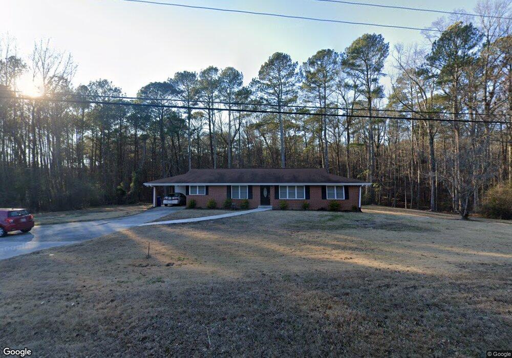
4801 Mink Livsey Rd Snellville, GA 30039
Estimated Value: $296,586 - $349,000
4
Beds
2
Baths
1,798
Sq Ft
$181/Sq Ft
Est. Value
About This Home
This home is located at 4801 Mink Livsey Rd, Snellville, GA 30039 and is currently estimated at $325,647, approximately $181 per square foot. 4801 Mink Livsey Rd is a home located in Gwinnett County with nearby schools including Rosebud Elementary School, Grace Snell Middle School, and South Gwinnett High School.
Ownership History
Date
Name
Owned For
Owner Type
Purchase Details
Closed on
Dec 23, 2011
Sold by
Robertson Richard W
Bought by
Harris Mitchell
Current Estimated Value
Home Financials for this Owner
Home Financials are based on the most recent Mortgage that was taken out on this home.
Original Mortgage
$76,000
Outstanding Balance
$52,337
Interest Rate
4.15%
Mortgage Type
FHA
Estimated Equity
$273,310
Create a Home Valuation Report for This Property
The Home Valuation Report is an in-depth analysis detailing your home's value as well as a comparison with similar homes in the area
Home Values in the Area
Average Home Value in this Area
Purchase History
| Date | Buyer | Sale Price | Title Company |
|---|---|---|---|
| Harris Mitchell | $80,000 | -- |
Source: Public Records
Mortgage History
| Date | Status | Borrower | Loan Amount |
|---|---|---|---|
| Open | Harris Mitchell | $76,000 |
Source: Public Records
Tax History Compared to Growth
Tax History
| Year | Tax Paid | Tax Assessment Tax Assessment Total Assessment is a certain percentage of the fair market value that is determined by local assessors to be the total taxable value of land and additions on the property. | Land | Improvement |
|---|---|---|---|---|
| 2024 | $2,669 | $93,720 | $26,000 | $67,720 |
| 2023 | $2,669 | $93,720 | $26,000 | $67,720 |
| 2022 | $1,998 | $62,960 | $14,520 | $48,440 |
| 2021 | $1,949 | $59,440 | $14,520 | $44,920 |
| 2020 | $1,961 | $59,440 | $14,520 | $44,920 |
| 2019 | $1,807 | $54,240 | $11,480 | $42,760 |
| 2018 | $1,804 | $54,240 | $11,480 | $42,760 |
| 2016 | $1,444 | $37,160 | $10,600 | $26,560 |
| 2015 | $1,459 | $37,160 | $10,600 | $26,560 |
| 2014 | $1,464 | $37,160 | $10,600 | $26,560 |
Source: Public Records
Map
Nearby Homes
- 4850 Wynship Ln
- 4980 Wynship Ln
- 3502 Louella Lake Ct
- 4738 Chafin Point Ct
- 4041 Ash Tree St
- 3892 Rosebud Park Dr
- 4580 Gin Plantation Dr
- 0 Bryant Rd Unit 7646847
- 3547 Valley Bluff Ln
- 4656 Bryant Rd
- Jackson Plan at Crofton Place - Enclave Collection
- Mayfield Plan at Crofton Place - Enclave Collection
- Chestnut Plan at Crofton Place - Enclave Collection
- Davenport Plan at Crofton Place - Enclave Collection
- Pembrooke Plan at Crofton Place - Enclave Collection
- Coleford Plan at Crofton Place - Enclave Collection
- 3576 Iron Hearth Bend
- 3576 Iron Hearth Bend Unit 92C
- 3556 Iron Hearth Bend
- 3556 Iron Hearth Bend Unit 94C
- 4800 Wynship Ln
- 4290 Wynship Ln
- 4801 Wynship Ln
- 3801 Brittan Glade Trail
- 3811 Brittan Glade Trail
- 4725-D Bryant Rd NW
- 4725-C Bryant Rd NW
- 4725-A NW Bryant Rd
- 4725 Bryant Rd NW
- 4725 Bryant Rd
- 4725 Bryant Dr
- 4725-B Bryant Rd NW
- 4725 Bryant Dr
- 4725 Bryant Dr
- 4810 Wynship Ln Unit 1
- 4812 Mink Livsey Rd
- 4811 Wynship Ln
- 4820 Wynship Ln
- 4821 Wynship Ln Unit 1
- 4743 Bryant Dr