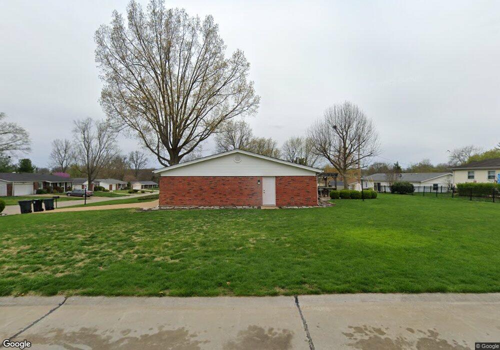
4801 Morestead Dr Saint Louis, MO 63128
Concord AreaEstimated Value: $334,241 - $361,000
About This Home
This home is located at 4801 Morestead Dr, Saint Louis, MO 63128 and is currently estimated at $345,060, approximately $202 per square foot. 4801 Morestead Dr is a home located in St. Louis County with nearby schools including Kennerly Elementary School, Sperreng Middle School, and Lindbergh High School.
Ownership History
We collect this data history from publicly available records. To have your information removed, we recommend requesting removal directly through your county’s website.
Purchase Details
Purchase Details
Home Financials for this Owner
Home Financials are based on the most recent Mortgage that was taken out on this home.Home Values in the Area
Average Home Value in this Area
Purchase History
We collect this data history from publicly available records. To have your information removed, we recommend requesting removal directly through your county’s website.
| Date | Buyer | Sale Price | Title Company |
|---|---|---|---|
| -- | None Available | ||
| $138,500 | -- |
Mortgage History
We collect this data history from publicly available records. To have your information removed, we recommend requesting removal directly through your county’s website.
| Date | Status | Borrower | Loan Amount |
|---|---|---|---|
| Open | $100,000 |
Tax History
We collect this data history from publicly available records. To have your information removed, we recommend requesting removal directly through your county’s website.
| Year | Tax Paid | Tax Assessment Tax Assessment Total Assessment is a certain percentage of the fair market value that is determined by local assessors to be the total taxable value of land and additions on the property. | Land | Improvement |
|---|---|---|---|---|
| 2025 | $3,267 | $56,640 | $16,400 | $40,240 |
| 2024 | $3,267 | $50,140 | $16,400 | $33,740 |
| 2023 | $3,259 | $50,140 | $16,400 | $33,740 |
| 2022 | $2,441 | $35,950 | $16,400 | $19,550 |
| 2021 | $2,355 | $35,950 | $16,400 | $19,550 |
| 2020 | $2,400 | $35,360 | $16,400 | $18,960 |
| 2019 | $2,394 | $35,360 | $16,400 | $18,960 |
| 2018 | $2,521 | $33,890 | $10,010 | $23,880 |
| 2017 | $2,494 | $33,890 | $10,010 | $23,880 |
| 2016 | $2,318 | $29,890 | $9,120 | $20,770 |
| 2015 | $2,283 | $29,890 | $9,120 | $20,770 |
| 2014 | -- | $32,130 | $8,150 | $23,980 |
Map
- 4921 Brockwood Dr
- 5032 Darfield Ct
- 4684 Venarde Dr
- 4654 Towne South Rd
- 4833 Mattis Rd
- 4970 Fernhill Dr
- 5116 Kennerly Place Dr
- 4765 Stanhope Dr
- 5127 Towne South Rd
- 12430 Somerset Place Dr
- 5044 Tealby Ln
- 12401 Somerset Place Dr Unit E
- 12415 Somerset Place Dr Unit F
- 12364 Worthington Dr
- 4688 Towne Centre Dr
- 12586 Chardin Place Unit 4
- 12598 Chardin Place Unit 3
- 12574 Chardin Place Unit 4
- 4513 Du Bourg Ln
- 12587 Chardin Place Unit 4
- 4807 Morestead Dr
- 4800 Holmeswood Ct
- 4810 Holmeswood Ct
- 4925 Sherborne Dr
- 4914 Sherborne Dr
- 4815 Morestead Dr
- 4808 Morestead Dr
- 4818 Holmeswood Ct
- 4931 Sherborne Dr
- 4917 Sherborne Dr
- 4816 Morestead Dr
- 4821 Morestead Dr
- 4771 Morestead Dr
- 4824 Holmeswood Ct
- 4939 Sherbore Dr
- 4939 Sherborne Dr
- 4904 Sherborne Dr
- 4946 Sherborne Dr
- 4809 Holmeswood Ct
- 4772 Morestead Dr
Ask me questions while you tour the home.