4801 Rodger St Springfield, IL 62703
Estimated Value: $500,870
Studio
--
Bath
--
Sq Ft
126,847
Sq Ft Lot
About This Home
This home is located at 4801 Rodger St, Springfield, IL 62703 and is currently estimated at $500,870. 4801 Rodger St is a home located in Sangamon County with nearby schools including Edwin A. Lee Elementary School, Jefferson Middle School, and Springfield Southeast High School.
Ownership History
Date
Name
Owned For
Owner Type
Purchase Details
Closed on
Apr 3, 2020
Sold by
Trampe Curtis A
Bought by
Unit Storage Llc
Current Estimated Value
Home Financials for this Owner
Home Financials are based on the most recent Mortgage that was taken out on this home.
Original Mortgage
$735,268
Outstanding Balance
$651,358
Interest Rate
3.4%
Mortgage Type
New Conventional
Estimated Equity
-$150,488
Purchase Details
Closed on
Jun 21, 2005
Create a Home Valuation Report for This Property
The Home Valuation Report is an in-depth analysis detailing your home's value as well as a comparison with similar homes in the area
Purchase History
| Date | Buyer | Sale Price | Title Company |
|---|---|---|---|
| Unit Storage Llc | -- | Sorling Northrup | |
| -- | $275,000 | -- |
Source: Public Records
Mortgage History
| Date | Status | Borrower | Loan Amount |
|---|---|---|---|
| Open | Unit Storage Llc | $735,268 |
Source: Public Records
Tax History
| Year | Tax Paid | Tax Assessment Tax Assessment Total Assessment is a certain percentage of the fair market value that is determined by local assessors to be the total taxable value of land and additions on the property. | Land | Improvement |
|---|---|---|---|---|
| 2024 | $22,828 | $271,775 | $31,414 | $240,361 |
| 2023 | $21,947 | $248,242 | $28,694 | $219,548 |
| 2022 | $21,101 | $235,479 | $27,219 | $208,260 |
| 2021 | $20,402 | $226,662 | $26,200 | $200,462 |
| 2020 | $19,996 | $227,002 | $26,239 | $200,763 |
| 2019 | $19,625 | $226,210 | $26,147 | $200,063 |
| 2018 | $11,595 | $137,230 | $25,920 | $111,310 |
| 2017 | $11,355 | $135,456 | $25,585 | $109,871 |
| 2016 | $11,132 | $133,481 | $25,212 | $108,269 |
| 2015 | $11,024 | $131,886 | $24,911 | $106,975 |
| 2014 | $10,859 | $131,034 | $24,750 | $106,284 |
| 2013 | $10,617 | $131,034 | $24,750 | $106,284 |
Source: Public Records
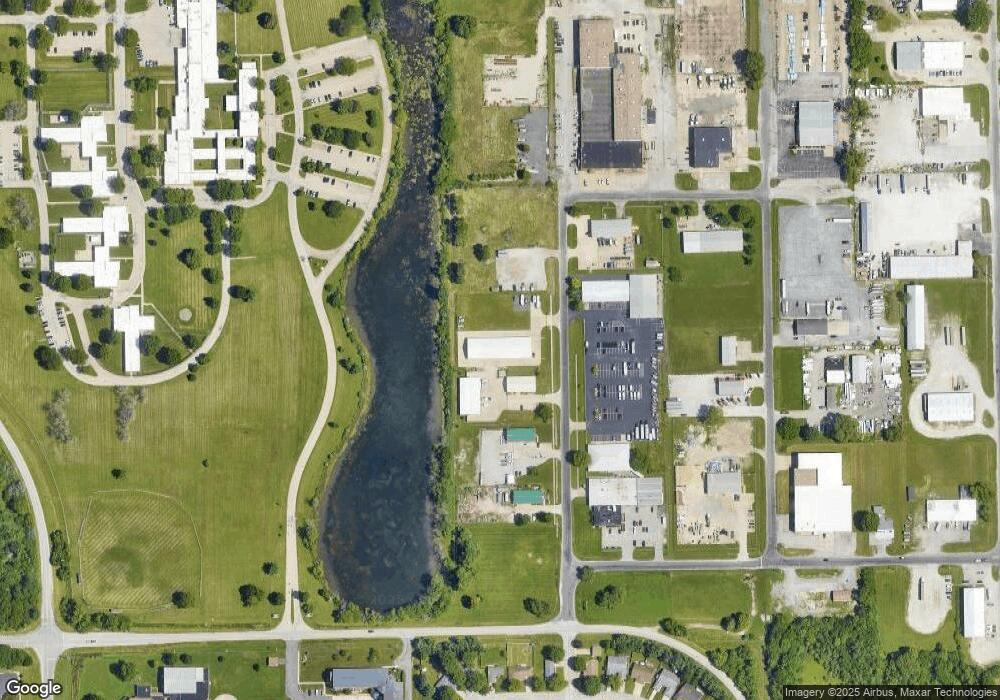
Map
Nearby Homes
- 33 Sarah Ave
- 128 Volare Ln
- 4013 S Milan Rd
- 2208 Trowbridge Rd
- 0 Toronto Rd
- 0 Varsity Ct
- 130 Genoa Dr
- 4421 Venetian Dr
- 6214 Hayley Ct
- 6200 Wind Tree Rd
- 2100 E Hood St Unit 1
- 2025 E Hood St Unit 1
- 2121 Lake Crest Dr
- 3420 S 4th St Unit 1
- 6401 Raintree Place
- 3305 Saint Francis Dr
- 3518 Sheffield Rd Unit 1
- 3357 S 3rd St Unit 1
- 108 Maple Grove St
- 2311 Chesapeake Landing
- 4823 Rodger St
- 4843 Rodger St
- 4863 Rodger St
- 4905 Rodger St
- 1320 Knotts St
- 4769 Jeffory St
- 4853 Jeffory St
- 1300 Knotts St
- 4200 Rodger St
- 5209 Buford St
- 5200 Cantrell Ct
- 5201 Cantrell Ct
- 5205 Buford St
- 5213 Buford St
- 5228 Carlton Dr
- 5232 Carlton Dr
- 5240 Carlton Dr
- 5220 Carlton Dr
- 5236 Carlton Dr
- 5248 Carlton Dr
Your Personal Tour Guide
Ask me questions while you tour the home.