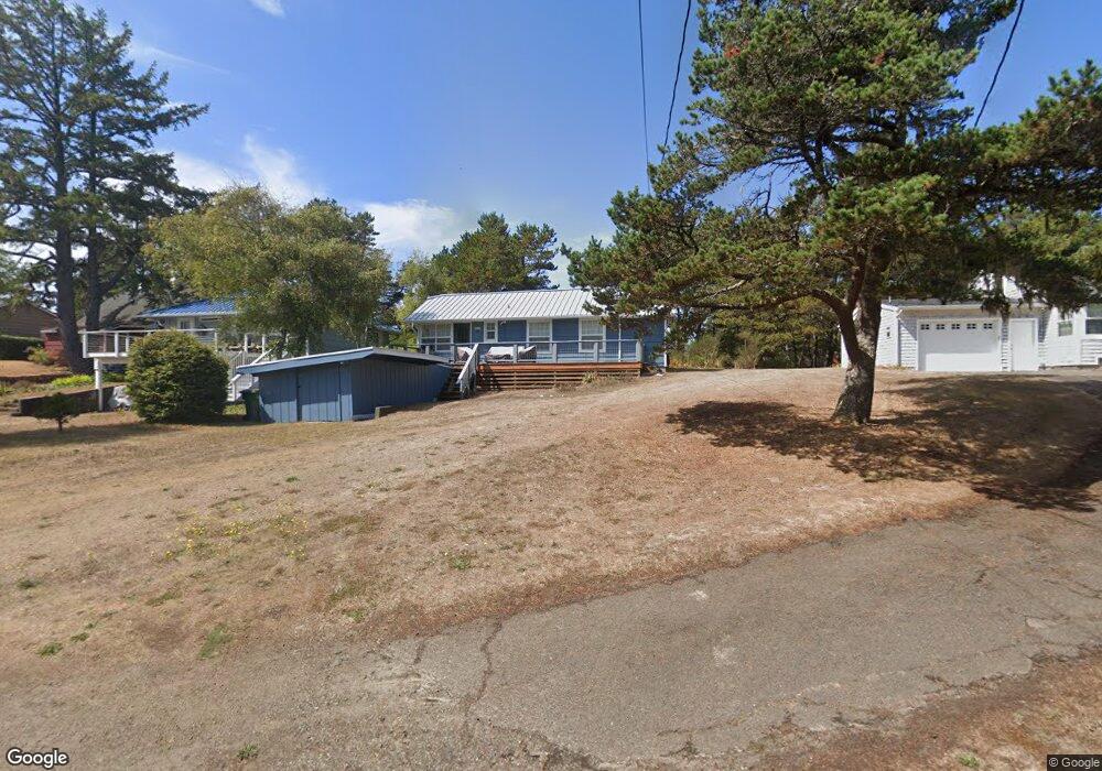
48010 Hawk Dr Neskowin, OR 97149
Estimated Value: $496,000 - $662,000
2
Beds
2
Baths
777
Sq Ft
$699/Sq Ft
Est. Value
About This Home
This home is located at 48010 Hawk Dr, Neskowin, OR 97149 and is currently estimated at $543,195, approximately $699 per square foot. 48010 Hawk Dr is a home with nearby schools including Nestucca K-8 School and Nestucca High School.
Ownership History
Date
Name
Owned For
Owner Type
Purchase Details
Closed on
Jun 10, 2019
Sold by
Anthony Kimberly and Brotz Melissa
Bought by
Kahl Pamela Austin
Current Estimated Value
Home Financials for this Owner
Home Financials are based on the most recent Mortgage that was taken out on this home.
Original Mortgage
$150,000
Outstanding Balance
$131,336
Interest Rate
4.2%
Mortgage Type
New Conventional
Estimated Equity
$411,859
Create a Home Valuation Report for This Property
The Home Valuation Report is an in-depth analysis detailing your home's value as well as a comparison with similar homes in the area
Purchase History
| Date | Buyer | Sale Price | Title Company |
|---|---|---|---|
| Kahl Pamela Austin | $310,000 | First American |
Source: Public Records
Mortgage History
| Date | Status | Borrower | Loan Amount |
|---|---|---|---|
| Open | Kahl Pamela Austin | $150,000 |
Source: Public Records
Tax History
| Year | Tax Paid | Tax Assessment Tax Assessment Total Assessment is a certain percentage of the fair market value that is determined by local assessors to be the total taxable value of land and additions on the property. | Land | Improvement |
|---|---|---|---|---|
| 2025 | $3,097 | $244,540 | $132,460 | $112,080 |
| 2024 | $2,934 | $237,420 | $128,600 | $108,820 |
| 2023 | $2,941 | $230,510 | $124,860 | $105,650 |
| 2022 | $2,836 | $223,800 | $121,230 | $102,570 |
| 2021 | $2,756 | $217,290 | $117,710 | $99,580 |
| 2020 | $2,566 | $201,380 | $114,280 | $87,100 |
| 2019 | $2,512 | $195,520 | $110,960 | $84,560 |
| 2018 | $2,319 | $189,830 | $107,730 | $82,100 |
| 2017 | $2,088 | $184,310 | $104,600 | $79,710 |
| 2016 | $1,923 | $178,950 | $101,560 | $77,390 |
| 2015 | $1,987 | $173,740 | $98,600 | $75,140 |
| 2014 | $1,940 | $168,680 | $95,730 | $72,950 |
| 2013 | -- | $163,770 | $92,940 | $70,830 |
Source: Public Records
Map
Nearby Homes
- 48250 Hawk St
- 48250 Breakers Blvd
- 6600 Schoolhouse Rd
- 4850 Schoolhouse Rd
- 48988 U S 101 S
- 48988 Highway 101 S Unit 137-F
- 4800 Blk Valley View Dr Tl 4000
- 4800 Valley View Dr
- 0 Hilltop Ln Unit 704164730
- V/L 6500 Hill Crest Dr
- 0 S Fairway Rd Unit 653571953
- 0 S Fairway Rd Unit 315656510
- 49400 Blk Nescove Dr Tl303
- 46995 Beach Crest Dr
- TL48 Vanora
- TL46 Vanora St
- TL47 Vanora St
- 49750 Nescove Dr
- 49855 Seasand Rd
- 50040 S Beach Rd
- 48010 Hawk St
- 48020 Hawk Dr
- 47990 Hawk Dr
- 4435 Mt Angel Ave
- 48040 Hawk Dr
- 47960 Hawk Dr
- 48060 Hawk Dr
- 4430 Mt Angel Ave
- 4390 Mount Angel Ave
- TL 2000 Mount Angel Ave
- 0 Mount Angel Ave
- 48070 Hawk Dr
- 48070 Hawk St
- 47940 Hawk Dr
- 4410 Mt Angel
- 4395 Mount Angel Ave
- 4395 Mt Angel Ave
- 4450 Sheridan Ave
- 4455 Forest Grove Ave
- 4490 Sheridan Ave
Your Personal Tour Guide
Ask me questions while you tour the home.