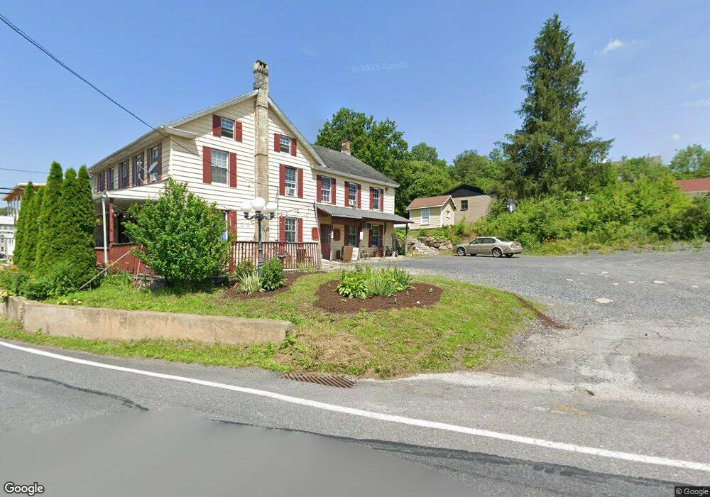
4802 Rr 4 Kunkletown, PA 18058
Estimated Value: $245,000 - $307,000
3
Beds
2
Baths
1,028
Sq Ft
$261/Sq Ft
Est. Value
About This Home
This home is located at 4802 Rr 4, Kunkletown, PA 18058 and is currently estimated at $268,243, approximately $260 per square foot. 4802 Rr 4 is a home located in Monroe County with nearby schools including Pleasant Valley Elementary School, Pleasant Valley Intermediate School, and Pleasant Valley Middle School.
Ownership History
Date
Name
Owned For
Owner Type
Purchase Details
Closed on
Dec 7, 2009
Sold by
Maresca Pasquale and Maresca Maureen T
Bought by
Breslove Heather M and Breslove Scott A
Current Estimated Value
Home Financials for this Owner
Home Financials are based on the most recent Mortgage that was taken out on this home.
Original Mortgage
$150,228
Outstanding Balance
$97,736
Interest Rate
4.85%
Mortgage Type
FHA
Estimated Equity
$170,507
Purchase Details
Closed on
Nov 3, 2006
Sold by
Deutsche Bank National Trust Co
Bought by
Maresca Pasquale and Maresca Maureen T
Home Financials for this Owner
Home Financials are based on the most recent Mortgage that was taken out on this home.
Original Mortgage
$126,320
Interest Rate
6.39%
Mortgage Type
New Conventional
Purchase Details
Closed on
Aug 17, 2006
Sold by
Granrath Elizabeth A
Bought by
Deutsche Bank National Trust Co
Create a Home Valuation Report for This Property
The Home Valuation Report is an in-depth analysis detailing your home's value as well as a comparison with similar homes in the area
Home Values in the Area
Average Home Value in this Area
Purchase History
| Date | Buyer | Sale Price | Title Company |
|---|---|---|---|
| Breslove Heather M | $153,000 | None Available | |
| Maresca Pasquale | $157,900 | Land Title Services | |
| Deutsche Bank National Trust Co | $1,350 | None Available |
Source: Public Records
Mortgage History
| Date | Status | Borrower | Loan Amount |
|---|---|---|---|
| Open | Breslove Heather M | $150,228 | |
| Previous Owner | Maresca Pasquale | $126,320 |
Source: Public Records
Tax History
| Year | Tax Paid | Tax Assessment Tax Assessment Total Assessment is a certain percentage of the fair market value that is determined by local assessors to be the total taxable value of land and additions on the property. | Land | Improvement |
|---|---|---|---|---|
| 2025 | $750 | $116,030 | $30,600 | $85,430 |
| 2024 | $533 | $116,030 | $30,600 | $85,430 |
| 2023 | $3,305 | $116,030 | $30,600 | $85,430 |
| 2022 | $3,209 | $116,030 | $30,600 | $85,430 |
| 2021 | $3,136 | $116,030 | $30,600 | $85,430 |
| 2019 | $3,026 | $17,260 | $2,250 | $15,010 |
| 2018 | $2,992 | $17,260 | $2,250 | $15,010 |
| 2017 | $2,992 | $17,260 | $2,250 | $15,010 |
| 2016 | $441 | $17,260 | $2,250 | $15,010 |
| 2015 | -- | $17,260 | $2,250 | $15,010 |
| 2014 | -- | $16,740 | $2,250 | $14,490 |
Source: Public Records
Map
Nearby Homes
- 969 Hideaway Hill Rd
- Lot 32 Greenview Ct
- 150 Red Oak Dr
- 00 Floyd Rd
- 208 Bryan Dr
- 361 Interchange Rd
- 1 Winesap Ln
- T425 2 Whitey B Dr
- 0 T425
- 2 T425
- CO Line Forest Dr
- 90 Halina Way
- 207 Scenic Dr
- 950 Koch Rd
- 0 Sr 209 Unit PM-130225
- 0 Victoria Arms Cir Unit PM-133039
- 160 Grassy Rd
- 142 Pine Grove Rd
- 7590 Pohopoco Dr
- 7590 Poho Poco Dr
Your Personal Tour Guide
Ask me questions while you tour the home.