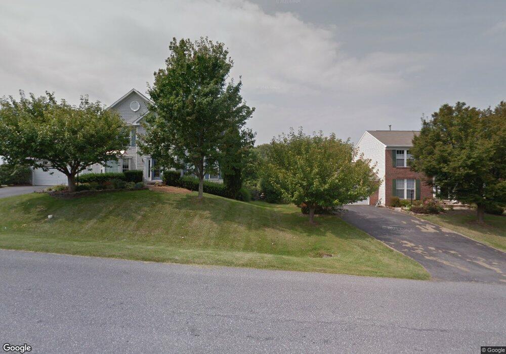
4802 Stockton Ct Jefferson, MD 21755
Estimated Value: $586,168 - $639,000
--
Bed
4
Baths
1,718
Sq Ft
$356/Sq Ft
Est. Value
About This Home
This home is located at 4802 Stockton Ct, Jefferson, MD 21755 and is currently estimated at $611,792, approximately $356 per square foot. 4802 Stockton Ct is a home located in Frederick County with nearby schools including Valley Elementary School, Brunswick Middle School, and Brunswick High School.
Ownership History
Date
Name
Owned For
Owner Type
Purchase Details
Closed on
Jun 17, 2020
Sold by
Stellabotta B Louise
Bought by
Harris Cameron and Miller Kathryn
Current Estimated Value
Home Financials for this Owner
Home Financials are based on the most recent Mortgage that was taken out on this home.
Original Mortgage
$444,260
Outstanding Balance
$393,802
Interest Rate
3.2%
Mortgage Type
New Conventional
Estimated Equity
$217,990
Purchase Details
Closed on
Dec 21, 2001
Sold by
Yourishin Maureen
Bought by
Stellabotta Robert J and Stellabotta Louise Stellabotta
Purchase Details
Closed on
Sep 1, 1998
Sold by
Nvr Homes Inc A Virginia Corp
Bought by
Yourishin Maureen
Purchase Details
Closed on
Aug 12, 1998
Sold by
Nvr Homes Inc A Virginia Corp
Bought by
Nvr Homes Inc A Virginia Corp
Purchase Details
Closed on
May 13, 1998
Sold by
Ausherman Dale E
Bought by
Nvr Homes Inc A Virginia Corp
Create a Home Valuation Report for This Property
The Home Valuation Report is an in-depth analysis detailing your home's value as well as a comparison with similar homes in the area
Home Values in the Area
Average Home Value in this Area
Purchase History
| Date | Buyer | Sale Price | Title Company |
|---|---|---|---|
| Harris Cameron | $458,000 | Rgs Title Llc | |
| Stellabotta Robert J | $249,900 | -- | |
| Yourishin Maureen | $194,635 | -- | |
| Nvr Homes Inc A Virginia Corp | -- | -- | |
| Nvr Homes Inc A Virginia Corp | $108,000 | -- |
Source: Public Records
Mortgage History
| Date | Status | Borrower | Loan Amount |
|---|---|---|---|
| Open | Harris Cameron | $444,260 | |
| Closed | Yourishin Maureen | -- |
Source: Public Records
Tax History Compared to Growth
Tax History
| Year | Tax Paid | Tax Assessment Tax Assessment Total Assessment is a certain percentage of the fair market value that is determined by local assessors to be the total taxable value of land and additions on the property. | Land | Improvement |
|---|---|---|---|---|
| 2025 | $5,343 | $477,767 | -- | -- |
| 2024 | $5,343 | $434,000 | $114,600 | $319,400 |
| 2023 | $4,718 | $398,667 | $0 | $0 |
| 2022 | $4,308 | $363,333 | $0 | $0 |
| 2021 | $3,834 | $328,000 | $97,200 | $230,800 |
| 2020 | $3,770 | $317,000 | $0 | $0 |
| 2019 | $3,642 | $306,000 | $0 | $0 |
| 2018 | $3,457 | $295,000 | $79,800 | $215,200 |
| 2017 | $3,289 | $295,000 | $0 | $0 |
| 2016 | $3,473 | $275,600 | $0 | $0 |
| 2015 | $3,473 | $265,900 | $0 | $0 |
| 2014 | $3,473 | $265,900 | $0 | $0 |
Source: Public Records
Map
Nearby Homes
- 4804 Bennington Place E
- 4810 Camden Place S
- 3901 Shadywood Ct
- 3805 Bedford Dr
- 3805 Brook Dr
- 3801 Brook Dr
- 3620 Carswell Place
- 4419 Teen Barnes Rd
- 4147 Lander Rd
- 5400 Woodlyn Ct
- 4144 Lander Road Lander Rd
- 4144A Lander Rd
- 4414 Mountville Rd
- 3343 Brockton Dr
- 3390 Westport Dr
- 5306 Stone Rd
- 4211 Spring View Ct
- 4814 Teen Barnes Rd
- 4948 Teen Barnes Rd
- 4533 Mountville Rd
- 4802 Stockton Dr
- 4804 Stockton Dr
- 4804 Stockton Ct
- 4117 Sturbridge Ct
- 4801 Stockton Dr
- 4202 Stockton Place
- 4806 Stockton Ct
- 4106 Bennington Place W
- 4115 Sturbridge Ct
- 4803 Stockton Ct
- 4805 Stockton Dr
- 4114 Sturbridge Ct
- 4108 Bennington Place W
- 4104 Bennington Place W
- 4808 Stockton Dr
- 4805 Stockton Ct
- 4113 Sturbridge Ct
- 4102 Bennington Place W
- 4110 Bennington Place W
- 4810 Stockton Dr