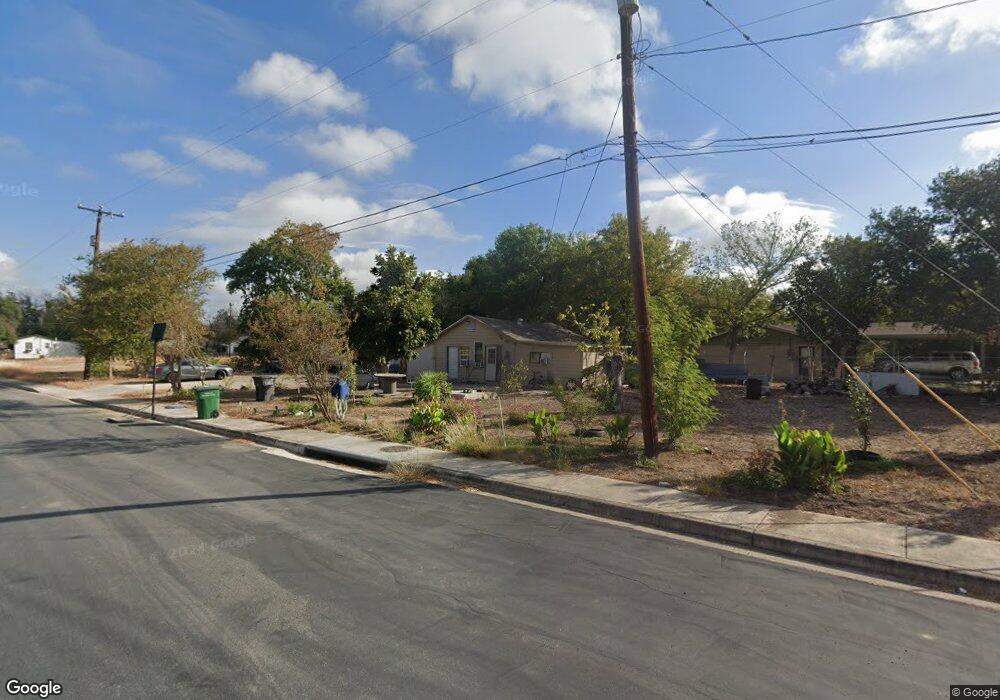
4803 Alfred Dr San Antonio, TX 78220
Southeast Side NeighborhoodEstimated Value: $75,000 - $170,000
1
Bed
1
Bath
600
Sq Ft
$191/Sq Ft
Est. Value
About This Home
This home is located at 4803 Alfred Dr, San Antonio, TX 78220 and is currently estimated at $114,484, approximately $190 per square foot. 4803 Alfred Dr is a home located in Bexar County with nearby schools including Hirsch Elementary School, Sam Houston High School, and Southwest Preparatory School.
Ownership History
Date
Name
Owned For
Owner Type
Purchase Details
Closed on
Dec 10, 2020
Sold by
Fit Acquisitions Llc
Bought by
Villegas Maria
Current Estimated Value
Home Financials for this Owner
Home Financials are based on the most recent Mortgage that was taken out on this home.
Original Mortgage
$77,000
Outstanding Balance
$66,141
Interest Rate
2.8%
Mortgage Type
New Conventional
Estimated Equity
$48,343
Purchase Details
Closed on
Oct 16, 2020
Sold by
Hart Lafrance M
Bought by
Fit Acquisitions Llc
Home Financials for this Owner
Home Financials are based on the most recent Mortgage that was taken out on this home.
Original Mortgage
$77,000
Outstanding Balance
$66,141
Interest Rate
2.8%
Mortgage Type
New Conventional
Estimated Equity
$48,343
Create a Home Valuation Report for This Property
The Home Valuation Report is an in-depth analysis detailing your home's value as well as a comparison with similar homes in the area
Home Values in the Area
Average Home Value in this Area
Purchase History
| Date | Buyer | Sale Price | Title Company |
|---|---|---|---|
| Villegas Maria | -- | Stc | |
| Fit Acquisitions Llc | -- | None Listed On Document |
Source: Public Records
Mortgage History
| Date | Status | Borrower | Loan Amount |
|---|---|---|---|
| Open | Villegas Maria | $77,000 |
Source: Public Records
Tax History Compared to Growth
Tax History
| Year | Tax Paid | Tax Assessment Tax Assessment Total Assessment is a certain percentage of the fair market value that is determined by local assessors to be the total taxable value of land and additions on the property. | Land | Improvement |
|---|---|---|---|---|
| 2025 | $2,372 | $97,220 | $57,120 | $40,100 |
| 2024 | $2,372 | $97,220 | $57,120 | $40,100 |
| 2023 | $2,372 | $97,220 | $57,120 | $40,100 |
| 2022 | $2,232 | $82,360 | $45,340 | $37,020 |
| 2021 | $1,528 | $54,690 | $27,130 | $27,560 |
| 2020 | $1,307 | $46,120 | $19,750 | $26,370 |
| 2019 | $1,257 | $43,850 | $18,500 | $25,350 |
| 2018 | $1,181 | $41,610 | $15,960 | $25,650 |
| 2017 | $1,099 | $38,950 | $15,960 | $22,990 |
| 2016 | $836 | $29,630 | $10,020 | $19,610 |
| 2015 | $678 | $29,390 | $10,020 | $19,370 |
| 2014 | $678 | $25,050 | $0 | $0 |
Source: Public Records
Map
Nearby Homes
- 510 Carol Crest St
- 4851 Alfred Dr
- 4631 Kay Ann Dr
- 4810 John Victor Dr
- 4823 John Victor Dr
- 4614 Belinda Lee St
- 4610 Belinda Lee St
- 4607 Belinda Lee St
- 203 Lynhaven Dr
- 4603 Lavender Ln
- 4906 Frostwood Dr
- 4534 Kay Ann Dr
- 302 Glenbrook
- 8532 Frostwood Dr
- 4842 Lord Rd
- 257 Glenoak Dr
- 111 Zerrcliff Ln
- 4442 Lord Rd
- 4419 N Hein Rd
- 126 Highway Dr
- 4811 Alfred Dr
- 4846 Alfred Dr
- 4810 Billy Dr
- 4802 Alfred Dr
- 522 Carol Crest St
- 518 Carol Crest St
- 526 Carol Crest St
- 514 Carol Crest St
- 530 Carol Crest St
- 4818 Alfred Dr
- 534 Carol Crest St
- 4822 Billy Dr
- 4831 Alfred Dr
- 506 Carol Crest St
- 538 Carol Crest St
- 4826 Billy Dr
- 502 Carol Crest St
- 4730 Belinda Lee St
- 320 Sapphire Dr
- 4731 Belinda Lee St