4803 Duncan Rd Monroe, NC 28110
Estimated Value: $513,000
Studio
--
Bath
--
Sq Ft
823,066
Sq Ft Lot
About This Home
This home is located at 4803 Duncan Rd, Monroe, NC 28110 and is currently priced at $513,000. 4803 Duncan Rd is a home located in Union County with nearby schools including Porter Ridge Elementary School, Porter Ridge Middle School, and Porter Ridge High School.
Ownership History
Date
Name
Owned For
Owner Type
Purchase Details
Closed on
Feb 22, 2007
Sold by
Edwards Bruce Michael and Edwards Linda K
Bought by
Traywick Sherrill and Traywick Ruby E
Current Estimated Value
Purchase Details
Closed on
Nov 5, 1998
Sold by
Edwards Bruce Michael and Edwards Linda
Bought by
Callahan Rodney Daryle and Callahan Kelly Edwards
Purchase Details
Closed on
Jul 24, 1998
Sold by
Traywick Eric B and Traywick Marlene
Bought by
Edwards Bruce Michael and Edwards Roger Neal
Home Financials for this Owner
Home Financials are based on the most recent Mortgage that was taken out on this home.
Original Mortgage
$44,450
Interest Rate
6.96%
Purchase Details
Closed on
Jul 14, 1998
Sold by
Edwards Phyllis G and Edwards Lawrence Dale
Bought by
Edwards Bruce Michael and Edwards Roger Neal
Home Financials for this Owner
Home Financials are based on the most recent Mortgage that was taken out on this home.
Original Mortgage
$44,450
Interest Rate
6.96%
Purchase Details
Closed on
Jul 2, 1998
Sold by
Edwards Phyllis G and Edwards Lawrence Dale
Bought by
Edwards Lawrence Dale and Edwards Angela Vaughan
Home Financials for this Owner
Home Financials are based on the most recent Mortgage that was taken out on this home.
Original Mortgage
$44,450
Interest Rate
6.96%
Create a Home Valuation Report for This Property
The Home Valuation Report is an in-depth analysis detailing your home's value as well as a comparison with similar homes in the area
Home Values in the Area
Average Home Value in this Area
Purchase History
| Date | Buyer | Sale Price | Title Company |
|---|---|---|---|
| Traywick Sherrill | -- | Chicago Title Insurance Co | |
| Callahan Rodney Daryle | -- | -- | |
| Edwards Bruce Michael | -- | -- | |
| Edwards Bruce Michael | -- | -- | |
| Edwards Lawrence Dale | -- | -- |
Source: Public Records
Mortgage History
| Date | Status | Borrower | Loan Amount |
|---|---|---|---|
| Closed | Edwards Lawrence Dale | $44,450 |
Source: Public Records
Tax History
| Year | Tax Paid | Tax Assessment Tax Assessment Total Assessment is a certain percentage of the fair market value that is determined by local assessors to be the total taxable value of land and additions on the property. | Land | Improvement |
|---|---|---|---|---|
| 2025 | $35 | $6,900 | $6,900 | $0 |
| 2024 | $46 | $258,700 | $258,700 | $0 |
| 2023 | $46 | $258,700 | $258,700 | $0 |
| 2022 | $46 | $258,700 | $258,700 | $0 |
| 2021 | $46 | $258,700 | $258,700 | $0 |
| 2020 | $48 | $156,330 | $156,330 | $0 |
| 2019 | $56 | $156,330 | $156,330 | $0 |
| 2018 | $0 | $156,330 | $156,330 | $0 |
| 2017 | $58 | $156,300 | $156,300 | $0 |
| 2016 | $57 | $156,330 | $156,330 | $0 |
| 2015 | $58 | $156,330 | $156,330 | $0 |
| 2014 | $45 | $5,800 | $5,800 | $0 |
Source: Public Records
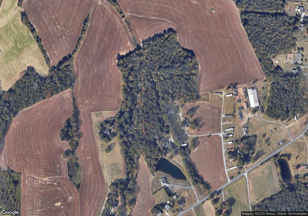
Map
Nearby Homes
- 4357 Hornyak Dr
- 4306 Allenby Place
- 831 W Unionville Indian Trail Rd
- 4435 Allenby Place
- 1114 Unionville Indian Trail St Unit 2
- 1413 Harleston St
- 1444 Harleston St
- 1565 Banham Dr
- 0 Unionville Indian Trail Rd W
- 4227 Poplin Grove Dr
- 1854 Carrollton Dr
- 4436 Roundwood Ct Unit 48
- 1733 Tabby Dr Unit CAL0065
- 1701 Tabby Dr Unit CAL0057
- 1714 Tabby Dr Unit CAL0044
- 2237 Balting Glass Dr
- 4607 Tulle Dr Unit CAL0075
- 600 Ivah Lee Way
- 1821 Riverbend Ave Unit 85
- 2349 Balting Glass Dr
- 4721 Duncan Rd
- 4805 Duncan Rd
- 4805 Duncan Rd
- 4717 Duncan Rd
- 4804 Duncan Rd
- 4810 Duncan Rd
- 4807 Duncan Rd
- 4710 Duncan Rd
- 2107 Bernard Simpson Rd
- 4709 Duncan Rd
- 4903 Duncan Rd
- 4707 Duncan Rd
- 2106 Bernard Simpson Rd
- 2227 Ken Ryan Dr
- 4711 Duncan Rd
- 2012 Bernard Simpson Rd
- 4914 Duncan Rd
- 4614 Duncan Rd
- 4921 Duncan Rd
- 803 Pennigar Rd
Your Personal Tour Guide
Ask me questions while you tour the home.