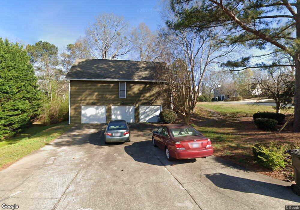
4803 Shallow Ridge Rd NE Kennesaw, GA 30144
Estimated Value: $404,728 - $456,000
3
Beds
2
Baths
2,334
Sq Ft
$183/Sq Ft
Est. Value
About This Home
This home is located at 4803 Shallow Ridge Rd NE, Kennesaw, GA 30144 and is currently estimated at $428,182, approximately $183 per square foot. 4803 Shallow Ridge Rd NE is a home located in Cobb County with nearby schools including Blackwell Elementary School, McCleskey Middle School, and Kell High School.
Ownership History
Date
Name
Owned For
Owner Type
Purchase Details
Closed on
Sep 8, 2009
Sold by
Sanders Mary J
Bought by
Sanders Mary J and Romano Stephanie
Current Estimated Value
Home Financials for this Owner
Home Financials are based on the most recent Mortgage that was taken out on this home.
Original Mortgage
$138,400
Outstanding Balance
$89,867
Interest Rate
5.05%
Mortgage Type
New Conventional
Estimated Equity
$338,315
Create a Home Valuation Report for This Property
The Home Valuation Report is an in-depth analysis detailing your home's value as well as a comparison with similar homes in the area
Home Values in the Area
Average Home Value in this Area
Purchase History
| Date | Buyer | Sale Price | Title Company |
|---|---|---|---|
| Sanders Mary J | $173,000 | -- | |
| Sanders Mary J | $173,000 | -- |
Source: Public Records
Mortgage History
| Date | Status | Borrower | Loan Amount |
|---|---|---|---|
| Open | Sanders Mary J | $138,400 |
Source: Public Records
Tax History Compared to Growth
Tax History
| Year | Tax Paid | Tax Assessment Tax Assessment Total Assessment is a certain percentage of the fair market value that is determined by local assessors to be the total taxable value of land and additions on the property. | Land | Improvement |
|---|---|---|---|---|
| 2024 | $1,055 | $161,468 | $34,000 | $127,468 |
| 2023 | $794 | $143,132 | $34,000 | $109,132 |
| 2022 | $988 | $138,828 | $20,000 | $118,828 |
| 2021 | $894 | $107,592 | $20,000 | $87,592 |
| 2020 | $863 | $97,140 | $20,000 | $77,140 |
| 2019 | $861 | $96,524 | $20,000 | $76,524 |
| 2018 | $861 | $96,524 | $20,000 | $76,524 |
| 2017 | $706 | $80,496 | $12,000 | $68,496 |
| 2016 | $708 | $80,496 | $12,000 | $68,496 |
| 2015 | $621 | $65,584 | $12,000 | $53,584 |
| 2014 | $636 | $65,584 | $0 | $0 |
Source: Public Records
Map
Nearby Homes
- 4992 Shallow Ridge Rd NE
- 1816 Yorkshire Dr
- 4904 Shallow Creek Trail NW
- 2111 Yorkshire Ct
- 4903 Shallow Creek Trail NW
- 2108 Yorkshire Ct
- 4825 Shallow Creek Dr NW
- 163 Castleair Ct NE
- 1502 Lake Koinonia Dr
- 4834 Shallow Creek Dr NW
- 4978 Thornwood Cove NW
- 414 Delancy Dr
- 221 Ellis Ln
- 510 Cooper Ln
- 44 Lake Latimer Dr NE
- 46 Lake Latimer Dr NE
- 48 Lake Latimer Dr NE
- 4801 Shallow Ridge Rd NE
- 5016 Shallow Ridge Rd NE
- 4922 Shallow Ridge Rd NE Unit IVA
- 4925 Shallow Ridge Rd NE
- 4903 Charter Oak Ct NE Unit 2
- 4799 Shallow Ridge Rd NE
- 3207 Cyprus Point Ln
- 5014 Shallow Ridge Rd NE Unit 2
- 4816 Shallow Ridge Rd NE
- 4800 Shallow Ridge Rd NE
- 5009 Shallow Ridge Rd NE
- 4926 Shallow Ridge Rd NE
- 4815 Shallow Farm Dr NE
- 5007 Shallow Ridge Rd NE
- 4927 Shallow Ridge Rd NE
- 4797 Shallow Ridge Rd NE Unit 1
- 0 Charter Oak Ct NE Unit 7219262
- 0 Charter Oak Ct NE Unit 8164342
- 5005 Shallow Ridge Rd NE Unit 2
- 4928 Shallow Ridge Rd NE