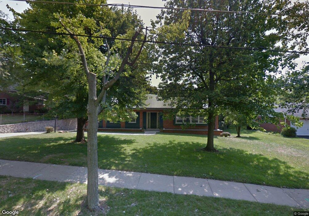
4804 S Raeburn Dr Cincinnati, OH 45223
Mount Airy NeighborhoodEstimated Value: $333,000 - $472,000
4
Beds
5
Baths
3,860
Sq Ft
$106/Sq Ft
Est. Value
About This Home
This home is located at 4804 S Raeburn Dr, Cincinnati, OH 45223 and is currently estimated at $407,779, approximately $105 per square foot. 4804 S Raeburn Dr is a home located in Hamilton County with nearby schools including Chase Elementary School, Robert A. Taft Information Technology High School, and Western Hills High School.
Ownership History
Date
Name
Owned For
Owner Type
Purchase Details
Closed on
Mar 16, 2023
Sold by
Scheper Robert J and Scheper Kim
Bought by
Jmo Properties 14 Llc
Current Estimated Value
Purchase Details
Closed on
Mar 4, 2020
Sold by
Allen Michele L
Bought by
Scheper Kim
Purchase Details
Closed on
Oct 23, 2009
Sold by
Allen Michele L
Bought by
Davenport Steven W and Davenport Evangeline M
Purchase Details
Closed on
May 24, 2005
Sold by
Fields Pamela
Bought by
Allen Michele L
Create a Home Valuation Report for This Property
The Home Valuation Report is an in-depth analysis detailing your home's value as well as a comparison with similar homes in the area
Home Values in the Area
Average Home Value in this Area
Purchase History
| Date | Buyer | Sale Price | Title Company |
|---|---|---|---|
| Jmo Properties 14 Llc | -- | None Listed On Document | |
| Scheper Kim | $160,000 | None Available | |
| Davenport Steven W | $224,900 | Attorney | |
| Allen Michele L | $247,500 | None Available |
Source: Public Records
Tax History Compared to Growth
Tax History
| Year | Tax Paid | Tax Assessment Tax Assessment Total Assessment is a certain percentage of the fair market value that is determined by local assessors to be the total taxable value of land and additions on the property. | Land | Improvement |
|---|---|---|---|---|
| 2024 | $3,552 | $55,724 | $16,632 | $39,092 |
| 2023 | $3,559 | $55,724 | $16,632 | $39,092 |
| 2022 | $7,822 | $110,737 | $20,290 | $90,447 |
| 2021 | $7,684 | $110,737 | $20,290 | $90,447 |
| 2020 | $7,707 | $110,737 | $20,290 | $90,447 |
| 2019 | $6,941 | $90,769 | $16,632 | $74,137 |
| 2018 | $6,946 | $90,769 | $16,632 | $74,137 |
| 2017 | $6,690 | $90,769 | $16,632 | $74,137 |
| 2016 | $6,905 | $91,393 | $17,637 | $73,756 |
| 2015 | $6,173 | $91,393 | $17,637 | $73,756 |
| 2014 | $6,205 | $91,393 | $17,637 | $73,756 |
| 2013 | $5,397 | $78,114 | $15,075 | $63,039 |
Source: Public Records
Map
Nearby Homes
- 4805 Chapel Ridge Dr
- 4750 S Raeburn Dr
- 2088 Raeburn Dr
- 5425 Kirby Ave
- 1971 Kentucky Ave
- 4650 Kirby Ave
- 1723 Monterey Ct
- 1943 Chase Ave
- 1708 Martha Ave
- 4574 Kirby Ave
- 4361 Virginia Ave
- 4636 Ashtree Dr
- 4361 Badgeley St
- 4339 Kirby Ave
- 4307 Hays Ave
- 1722 Glen Parker Ave
- 4223 Virginia Ave
- 4348 Kirby Ave
- 1910 Chase Ave
- 4344 Kirby Ave
- 4796 S Raeburn Dr
- 4814 S Raeburn Dr
- 2179 Raeburn Dr
- 4813 Chapel Ridge Dr
- 4788 S Raeburn Dr
- 4805 S Raeburn Dr
- 4797 S Raeburn Dr
- 2207 Raeburn Dr
- 4789 S Raeburn Dr
- 4811 Chapel Ridge Dr
- 4780 S Raeburn Dr
- 2200 Raeburn Dr
- 2215 Raeburn Dr
- 4781 S Raeburn Dr
- 2206 Raeburn Dr
- 2184 Raeburn Dr
- 4809 Chapel Ridge Dr
- 2159 Raeburn Dr
- 2219 Raeburn Dr
- 2212 Raeburn Dr