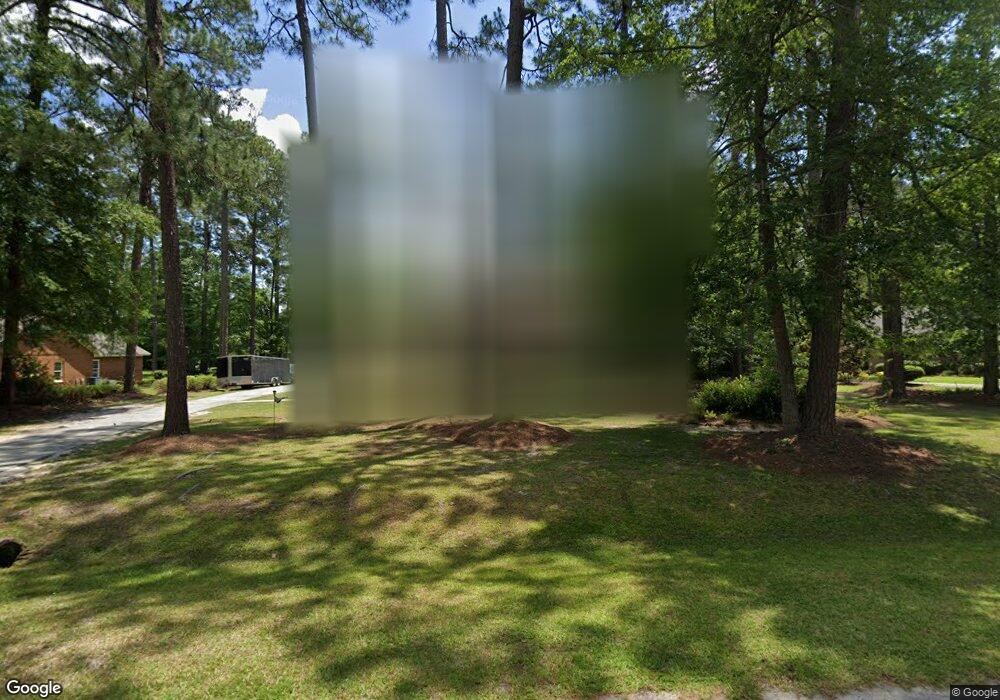
4804 Springbrook Dr Hahira, GA 31632
Estimated Value: $352,000 - $388,000
5
Beds
4
Baths
2,456
Sq Ft
$152/Sq Ft
Est. Value
About This Home
This home is located at 4804 Springbrook Dr, Hahira, GA 31632 and is currently estimated at $374,013, approximately $152 per square foot. 4804 Springbrook Dr is a home located in Lowndes County with nearby schools including Westside Elementary School, Hahira Middle School, and Lowndes High School.
Ownership History
Date
Name
Owned For
Owner Type
Purchase Details
Closed on
Jan 24, 2014
Sold by
Debronski Stephen J
Bought by
Thrasher John P and Thrasher Linda B
Current Estimated Value
Home Financials for this Owner
Home Financials are based on the most recent Mortgage that was taken out on this home.
Original Mortgage
$136,000
Outstanding Balance
$99,969
Interest Rate
3.95%
Mortgage Type
New Conventional
Estimated Equity
$274,044
Purchase Details
Closed on
Mar 20, 2013
Sold by
Dobronski Cecelia R
Bought by
Dobronski Stephen J
Purchase Details
Closed on
Dec 15, 2000
Sold by
Holman William Steve
Bought by
Dobronski Stephen J
Purchase Details
Closed on
Jun 28, 1994
Bought by
Holman William Steve
Purchase Details
Closed on
Mar 30, 1992
Bought by
Colson James A and Colson Patric
Create a Home Valuation Report for This Property
The Home Valuation Report is an in-depth analysis detailing your home's value as well as a comparison with similar homes in the area
Home Values in the Area
Average Home Value in this Area
Purchase History
| Date | Buyer | Sale Price | Title Company |
|---|---|---|---|
| Thrasher John P | $160,000 | -- | |
| Dobronski Stephen J | -- | -- | |
| Dobronski Stephen J | $137,500 | -- | |
| Holman William Steve | $124,900 | -- | |
| Colson James A | $92,000 | -- |
Source: Public Records
Mortgage History
| Date | Status | Borrower | Loan Amount |
|---|---|---|---|
| Open | Thrasher John P | $136,000 |
Source: Public Records
Tax History
| Year | Tax Paid | Tax Assessment Tax Assessment Total Assessment is a certain percentage of the fair market value that is determined by local assessors to be the total taxable value of land and additions on the property. | Land | Improvement |
|---|---|---|---|---|
| 2025 | $3,212 | $133,080 | $18,000 | $115,080 |
| 2024 | $3,139 | $123,752 | $18,000 | $105,752 |
| 2023 | $2,990 | $111,388 | $18,000 | $93,388 |
| 2022 | $2,104 | $74,138 | $18,000 | $56,138 |
| 2021 | $2,196 | $74,138 | $18,000 | $56,138 |
| 2020 | $2,042 | $74,138 | $18,000 | $56,138 |
| 2019 | $2,063 | $74,138 | $18,000 | $56,138 |
| 2018 | $2,084 | $74,138 | $18,000 | $56,138 |
| 2017 | $2,111 | $74,138 | $18,000 | $56,138 |
| 2016 | $2,116 | $74,138 | $18,000 | $56,138 |
| 2015 | -- | $74,138 | $18,000 | $56,138 |
| 2014 | $2,069 | $74,138 | $18,000 | $56,138 |
Source: Public Records
Map
Nearby Homes
- 4504 Wellington Woods Dr
- 4029 Ashbourne Dr
- 4271 Tillman Bluff Rd
- 4683 Amelia Cir
- 4668 Amelia Cir
- 4596 Amelia Cir
- 5460 Union Rd
- 5474 Union Rd
- 5109 Village Way
- 5047 Hatfield Cir
- 5255 Carlton Ridge Cir
- 5032 Hatfield Cir
- 4524 Orchard Knoll Cir
- 5028 Hatfield Cir
- 3073 Houser Way
- 4406 Mathis Mill Rd
- 5372 Myrick Cir
- 4248 Shadow Garden Dr
- 4961 Hatfield Cir
- 4953 Hatfield Cir
- 4806 Springbrook Dr
- 4802 Springbrook Dr
- 4803 Springbrook Dr
- 4808 Springbrook Dr
- 4905 Meadowood Cir
- 4904 Meadowood Cir
- 4800 Springbrook Dr
- 4714 Summerfield Dr
- 4713 Summerfield Dr
- 4809 Springbrook Dr
- 4810 Springbrook Dr
- 4902 Meadowood
- 4902 Meadowood Cir
- 4902 Meadowood Cir
- 4903 Meadowood Cir
- 4903 Meadow Wood Cir
- 4611 Laurelwood S
- 4814 Springbrook Dr
- 4615 Laurelwood S
- 4607 Laurelwood S
Your Personal Tour Guide
Ask me questions while you tour the home.