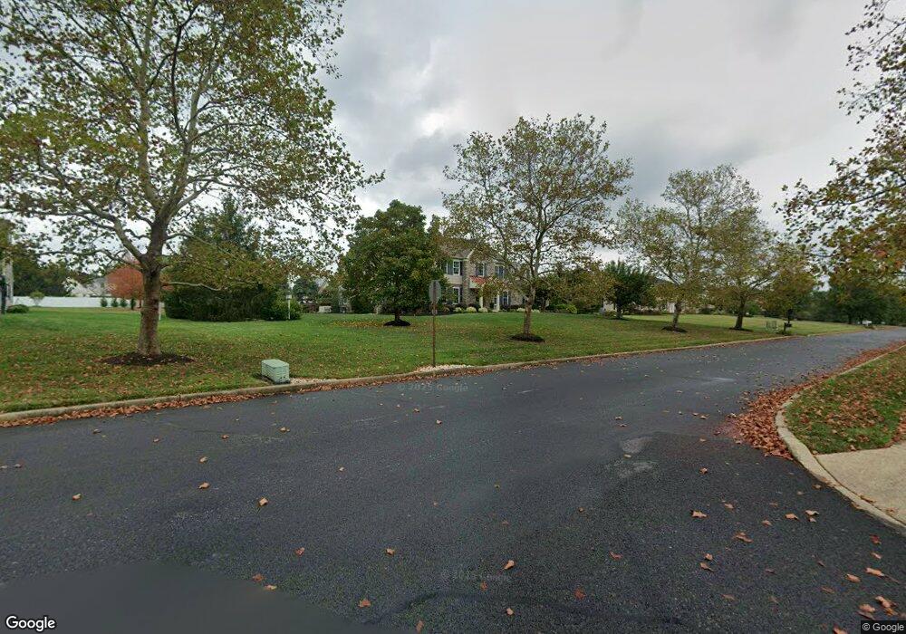
4805 Cheshire Rd Doylestown, PA 18902
Plumstead NeighborhoodEstimated Value: $935,281 - $1,241,000
4
Beds
3
Baths
3,200
Sq Ft
$338/Sq Ft
Est. Value
About This Home
This home is located at 4805 Cheshire Rd, Doylestown, PA 18902 and is currently estimated at $1,081,570, approximately $337 per square foot. 4805 Cheshire Rd is a home located in Bucks County with nearby schools including Gayman Elementary School, Tohickon Middle School, and Central Bucks High School - East.
Ownership History
Date
Name
Owned For
Owner Type
Purchase Details
Closed on
Aug 25, 2006
Sold by
Mill Street Industrial Associates Lp
Bought by
Larmann Group Llc
Current Estimated Value
Home Financials for this Owner
Home Financials are based on the most recent Mortgage that was taken out on this home.
Original Mortgage
$457,828
Outstanding Balance
$271,573
Interest Rate
6.54%
Mortgage Type
Purchase Money Mortgage
Estimated Equity
$809,997
Purchase Details
Closed on
May 12, 1993
Bought by
Latessa Mark
Create a Home Valuation Report for This Property
The Home Valuation Report is an in-depth analysis detailing your home's value as well as a comparison with similar homes in the area
Home Values in the Area
Average Home Value in this Area
Purchase History
| Date | Buyer | Sale Price | Title Company |
|---|---|---|---|
| Larmann Group Llc | $572,285 | None Available | |
| Latessa Mark | $83,000 | -- |
Source: Public Records
Mortgage History
| Date | Status | Borrower | Loan Amount |
|---|---|---|---|
| Open | Larmann Group Llc | $457,828 |
Source: Public Records
Tax History Compared to Growth
Tax History
| Year | Tax Paid | Tax Assessment Tax Assessment Total Assessment is a certain percentage of the fair market value that is determined by local assessors to be the total taxable value of land and additions on the property. | Land | Improvement |
|---|---|---|---|---|
| 2025 | $8,583 | $49,400 | $10,320 | $39,080 |
| 2024 | $8,583 | $49,400 | $10,320 | $39,080 |
| 2023 | $8,311 | $49,400 | $10,320 | $39,080 |
| 2022 | $8,218 | $49,400 | $10,320 | $39,080 |
| 2021 | $8,126 | $49,400 | $10,320 | $39,080 |
| 2020 | $8,126 | $49,400 | $10,320 | $39,080 |
| 2019 | $8,076 | $49,400 | $10,320 | $39,080 |
| 2018 | $8,076 | $49,400 | $10,320 | $39,080 |
| 2017 | $7,965 | $49,400 | $10,320 | $39,080 |
| 2016 | $7,965 | $49,400 | $10,320 | $39,080 |
| 2015 | -- | $49,400 | $10,320 | $39,080 |
| 2014 | -- | $49,400 | $10,320 | $39,080 |
Source: Public Records
Map
Nearby Homes
- 4964 Point Pleasant Pike
- 0 Valley Park Rd
- 5182 Point Pleasant Pike
- 6680 Point Pleasant Pike
- 4306 Kleinot Dr
- 4298 Kleinot Dr
- 4246 Kleinot Dr
- 4330 Kleinot Dr
- 4221 Sir Andrew Cir
- 4464 Kleinot Dr
- 4317 Kleinot Dr
- 4263 Kleinot Dr
- Madison Plan at
- Rittenhouse Plan at
- Harrison Plan at
- Chapel Hill Plan at
- Georgetown Plan at
- Fenimore Plan at
- 4190 Milords Ln
- 4925 Redfield Rd
- 4825 Cheshire Rd
- 4795 Cheshire Rd
- 4810 Point Pleasant Pike
- 4800 Cheshire Rd
- 4820 Point Pleasant Pike
- 4835 Cheshire Rd
- 4820 Cheshire Rd
- 4775 Cheshire Rd
- 4790 Cheshire Rd
- 4790 Point Pleasant Pike
- 4830 Point Pleasant Pike
- 4770 Cheshire Rd
- 4830 Cheshire Rd
- 4701 Essex Dr
- 4765 Cheshire Rd
- 4845 Cheshire Rd
- 4840 Point Pleasant Pike
- 4780 Point Pleasant Pike
- 4805 Point Pleasant Pike
- 4799 Point Pleasant Pike