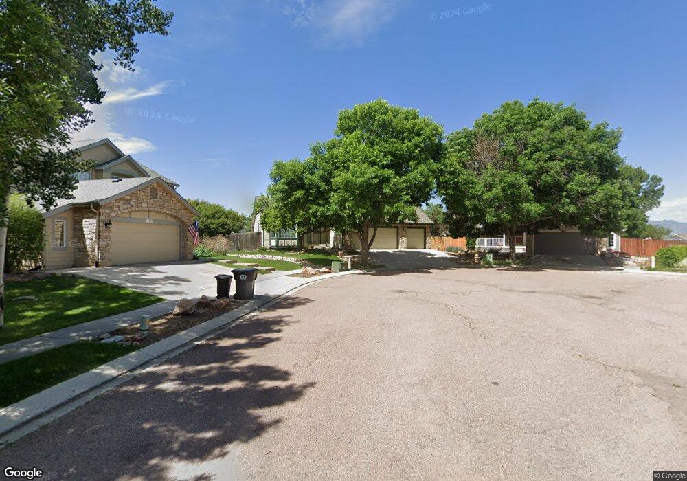
4805 Teton Place Colorado Springs, CO 80918
Vista Grande NeighborhoodEstimated Value: $523,000 - $680,000
3
Beds
3
Baths
2,400
Sq Ft
$247/Sq Ft
Est. Value
About This Home
This home is located at 4805 Teton Place, Colorado Springs, CO 80918 and is currently estimated at $592,481, approximately $246 per square foot. 4805 Teton Place is a home located in El Paso County with nearby schools including Martinez Elementary School, Jenkins Middle School, and Doherty High School.
Ownership History
Date
Name
Owned For
Owner Type
Purchase Details
Closed on
Jan 3, 2024
Sold by
Weed Roger H and Weed Carol J
Bought by
Weed Family Trust
Current Estimated Value
Purchase Details
Closed on
Dec 15, 1995
Sold by
Ryland Group Inc
Bought by
Weed Roger H and Weed Carol J
Home Financials for this Owner
Home Financials are based on the most recent Mortgage that was taken out on this home.
Original Mortgage
$203,000
Interest Rate
7.5%
Mortgage Type
VA
Create a Home Valuation Report for This Property
The Home Valuation Report is an in-depth analysis detailing your home's value as well as a comparison with similar homes in the area
Home Values in the Area
Average Home Value in this Area
Purchase History
| Date | Buyer | Sale Price | Title Company |
|---|---|---|---|
| Weed Family Trust | -- | None Listed On Document | |
| Weed Roger H | $207,183 | Land Title |
Source: Public Records
Mortgage History
| Date | Status | Borrower | Loan Amount |
|---|---|---|---|
| Previous Owner | Weed Roger H | $203,000 |
Source: Public Records
Tax History Compared to Growth
Tax History
| Year | Tax Paid | Tax Assessment Tax Assessment Total Assessment is a certain percentage of the fair market value that is determined by local assessors to be the total taxable value of land and additions on the property. | Land | Improvement |
|---|---|---|---|---|
| 2025 | $2,158 | $40,580 | -- | -- |
| 2024 | $1,645 | $40,670 | $5,530 | $35,140 |
| 2023 | $1,645 | $40,670 | $5,530 | $35,140 |
| 2022 | $1,423 | $30,710 | $4,900 | $25,810 |
| 2021 | $1,539 | $31,600 | $5,040 | $26,560 |
| 2020 | $1,211 | $24,010 | $4,380 | $19,630 |
| 2019 | $1,204 | $24,010 | $4,380 | $19,630 |
| 2018 | $1,109 | $21,550 | $4,410 | $17,140 |
| 2017 | $1,054 | $21,550 | $4,410 | $17,140 |
| 2016 | $815 | $21,120 | $4,480 | $16,640 |
| 2015 | $812 | $21,120 | $4,480 | $16,640 |
| 2014 | $767 | $19,930 | $4,480 | $15,450 |
Source: Public Records
Map
Nearby Homes
- 5739 Wells Fargo Dr E
- 4735 Seton Place
- 6243 Fowler Mill Point
- 6256 Fowler Mill Point
- 4740 Rustler Ct
- 4718 Rowland Heights
- 5745 Doe Skin Ct
- 6315 Andersen Mill Heights Unit 206
- 4790 Wells Branch Heights Unit 204
- 6465 Whirlwind Dr
- 4543 Clark Fork Place
- 5347 Wells Fargo Dr
- 6103 Treeledge Dr
- 5978 Maroon Mesa Dr
- 5635 Altitude Dr
- 4431 Flat Top Place
- 5940 Corinth Dr
- 6515 Medicine Springs Dr
- 5965 Corinth Dr
- 6662 Barrel Race Dr
- 4815 Teton Place
- 4810 Teton Place
- 5625 Wells Fargo Dr E
- 5635 Wells Fargo Dr E
- 4825 Teton Place
- 5621 Wells Fargo Dr E
- 4820 Teton Place
- 5645 Wells Fargo Dr E
- 5064 Poleplant Dr
- 4835 Teton Place
- 4830 Teton Place
- 5619 Wells Fargo Dr E
- 4840 Teton Place
- 4795 Seton Place
- 5072 Poleplant Dr
- 5058 Poleplant Dr
- 4845 Teton Place
- 4785 Seton Place
- 5630 Wells Fargo Dr E
- 5715 Wells Fargo Dr E