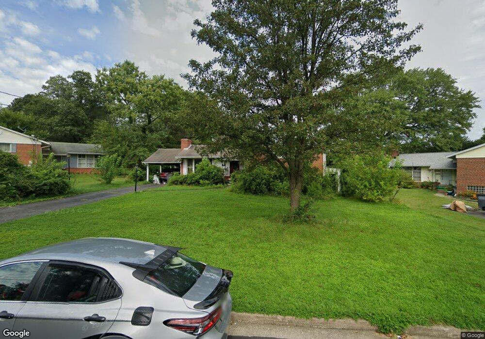
4806 Bristow Dr Annandale, VA 22003
Estimated Value: $708,000 - $747,000
4
Beds
3
Baths
1,436
Sq Ft
$505/Sq Ft
Est. Value
About This Home
This home is located at 4806 Bristow Dr, Annandale, VA 22003 and is currently estimated at $724,545, approximately $504 per square foot. 4806 Bristow Dr is a home located in Fairfax County with nearby schools including Braddock Elementary School, Poe Middle School, and Annandale High School.
Ownership History
Date
Name
Owned For
Owner Type
Purchase Details
Closed on
May 18, 2006
Sold by
Nordlund Reymond L
Bought by
Shah Azhar H
Current Estimated Value
Home Financials for this Owner
Home Financials are based on the most recent Mortgage that was taken out on this home.
Original Mortgage
$464,000
Outstanding Balance
$269,036
Interest Rate
6.42%
Mortgage Type
New Conventional
Estimated Equity
$455,509
Purchase Details
Closed on
Aug 14, 1995
Sold by
Fay Jacqueline P
Bought by
Wunsch Ronald W
Home Financials for this Owner
Home Financials are based on the most recent Mortgage that was taken out on this home.
Original Mortgage
$181,050
Interest Rate
7.48%
Create a Home Valuation Report for This Property
The Home Valuation Report is an in-depth analysis detailing your home's value as well as a comparison with similar homes in the area
Home Values in the Area
Average Home Value in this Area
Purchase History
| Date | Buyer | Sale Price | Title Company |
|---|---|---|---|
| Shah Azhar H | $580,000 | -- | |
| Wunsch Ronald W | $177,500 | -- |
Source: Public Records
Mortgage History
| Date | Status | Borrower | Loan Amount |
|---|---|---|---|
| Open | Shah Azhar H | $464,000 | |
| Previous Owner | Wunsch Ronald W | $181,050 |
Source: Public Records
Tax History Compared to Growth
Tax History
| Year | Tax Paid | Tax Assessment Tax Assessment Total Assessment is a certain percentage of the fair market value that is determined by local assessors to be the total taxable value of land and additions on the property. | Land | Improvement |
|---|---|---|---|---|
| 2025 | $7,438 | $682,730 | $301,000 | $381,730 |
| 2024 | $7,438 | $642,020 | $271,000 | $371,020 |
| 2023 | $7,245 | $642,020 | $271,000 | $371,020 |
| 2022 | $6,799 | $594,540 | $251,000 | $343,540 |
| 2021 | $6,001 | $511,350 | $210,000 | $301,350 |
| 2020 | $5,910 | $499,350 | $198,000 | $301,350 |
| 2019 | $5,711 | $482,570 | $190,000 | $292,570 |
| 2018 | $5,300 | $460,900 | $190,000 | $270,900 |
| 2017 | $5,118 | $440,830 | $190,000 | $250,830 |
| 2016 | $4,891 | $422,180 | $181,000 | $241,180 |
| 2015 | $4,712 | $422,180 | $181,000 | $241,180 |
| 2014 | $4,584 | $411,710 | $179,000 | $232,710 |
Source: Public Records
Map
Nearby Homes
- 4722 Bristow Dr
- 4757 Pomponio Place
- 4753 Pomponio Place
- 4917 Erie St
- 5005 Ravensworth Rd
- 7324 Auburn St
- 5003 Terrell St
- 4536 Garbo Ct
- 5004 Terrell St
- 4541 Garbo Ct
- 0 Heritage Dr
- 7405 Shenandoah Ave
- 7230 Beverly St
- 7813 Winona Ct
- 4546 King Edward Ct
- 7810 College Ln
- 7313 Byrneley Ln
- 7456 Madeira Place
- 7753 Patriot Dr Unit 57
- 7409 Adams Park Ct
- 4808 Bristow Dr
- 4804 Bristow Dr
- 4805 Pomponio Place
- 4803 Pomponio Place
- 7555 Rocart Dr
- 4809 Bristow Dr
- 4800 Bristow Dr
- 4807 Bristow Dr
- 4811 Bristow Dr
- 4801 Pomponio Place
- 4813 Bristow Dr
- 4805 Bristow Dr
- 4807 Pomponio Place
- 4803 Bristow Dr
- 4815 Bristow Dr
- 4808 Ravensworth Rd
- 4806 Ravensworth Rd
- 4810 Ravensworth Rd
- 4804 Pomponio Place
- 4806 Pomponio Place