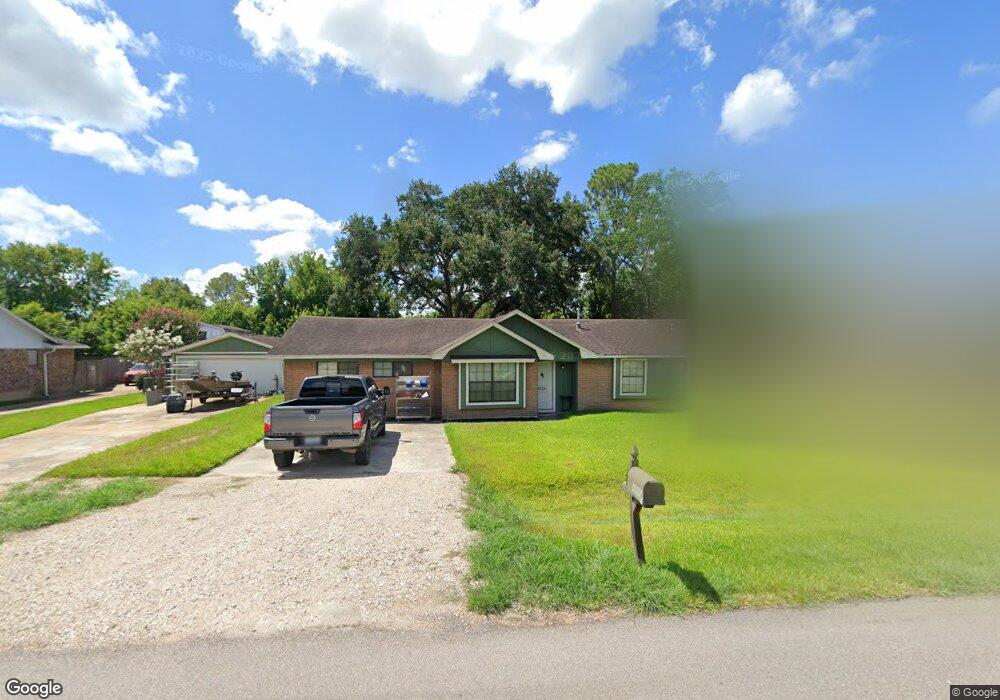
4806 Comal St Pearland, TX 77581
Estimated Value: $268,000 - $339,000
--
Bed
3
Baths
1,812
Sq Ft
$164/Sq Ft
Est. Value
About This Home
This home is located at 4806 Comal St, Pearland, TX 77581 and is currently estimated at $296,734, approximately $163 per square foot. 4806 Comal St is a home located in Brazoria County with nearby schools including E A Lawhon Elementary School, Leon H. Sablatura Middle School, and Pearland Junior High School West.
Ownership History
Date
Name
Owned For
Owner Type
Purchase Details
Closed on
Jan 30, 2018
Sold by
John C Bazmore
Bought by
Richnow Christopher and Richnow Carolynn
Current Estimated Value
Home Financials for this Owner
Home Financials are based on the most recent Mortgage that was taken out on this home.
Original Mortgage
$99,200
Outstanding Balance
$84,348
Interest Rate
4.15%
Estimated Equity
$212,386
Purchase Details
Closed on
Oct 26, 2017
Sold by
Bazmore John Clarence
Bought by
Ryan Christopher and Ricanow Cardynn Denise
Create a Home Valuation Report for This Property
The Home Valuation Report is an in-depth analysis detailing your home's value as well as a comparison with similar homes in the area
Home Values in the Area
Average Home Value in this Area
Purchase History
| Date | Buyer | Sale Price | Title Company |
|---|---|---|---|
| Richnow Christopher | -- | -- | |
| Ryan Christopher | -- | None Available |
Source: Public Records
Mortgage History
| Date | Status | Borrower | Loan Amount |
|---|---|---|---|
| Open | Richnow Christopher | $99,200 | |
| Closed | Richnow Christopher | -- |
Source: Public Records
Tax History Compared to Growth
Tax History
| Year | Tax Paid | Tax Assessment Tax Assessment Total Assessment is a certain percentage of the fair market value that is determined by local assessors to be the total taxable value of land and additions on the property. | Land | Improvement |
|---|---|---|---|---|
| 2025 | $3,835 | $261,928 | $24,640 | $249,880 |
| 2023 | $3,835 | $277,730 | $24,640 | $253,090 |
| 2022 | $4,865 | $202,230 | $24,640 | $177,590 |
| 2021 | $4,609 | $178,900 | $22,880 | $156,020 |
| 2020 | $4,672 | $173,150 | $21,120 | $152,030 |
| 2019 | $4,089 | $151,530 | $17,600 | $133,930 |
| 2018 | $3,210 | $119,480 | $17,600 | $101,880 |
| 2017 | $4,155 | $153,870 | $17,600 | $136,270 |
| 2016 | $3,932 | $145,610 | $17,600 | $128,010 |
| 2015 | $3,001 | $131,950 | $17,600 | $114,350 |
| 2014 | $3,001 | $107,860 | $17,600 | $90,260 |
Source: Public Records
Map
Nearby Homes
- 0 Rice Rd
- 12629 March St
- 0 Lesiker Rd
- 12802 Manor Dr
- 4901 Shank Rd
- 5972 Pearland Place
- 12615 Britt Rd
- 2107 N Main St
- 1503 Pastureview Dr
- 3759 Knapp Rd
- 3815 Alice St
- 1454 Oday Rd
- 6088 Pearland Place
- 12710 Midlane Dr
- 3627 Bartlett Way Dr
- 4610 & 4612 W Orange St
- 6009 Village Grove Dr
- 2102 Pearland Ave
- 1417 Silver Rings Ct
- 3607 Bartlett Way Dr