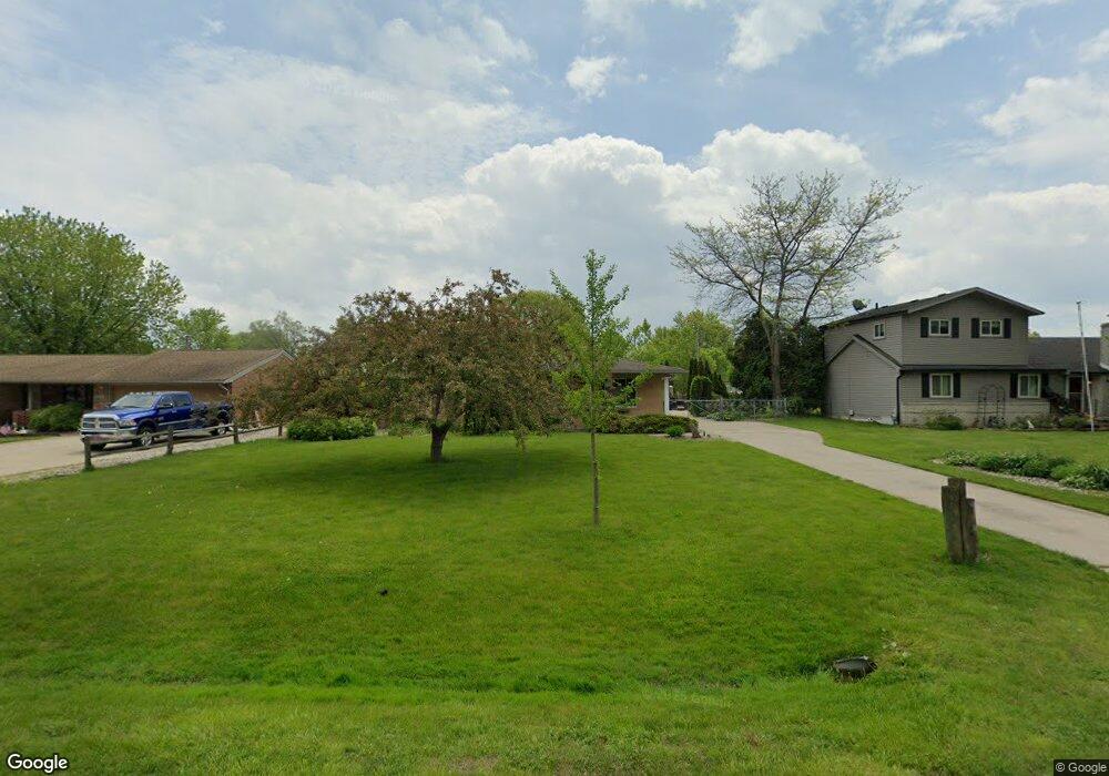
48066 Forbes St Chesterfield, MI 48047
Estimated Value: $237,582 - $271,000
--
Bed
--
Bath
1,231
Sq Ft
$212/Sq Ft
Est. Value
About This Home
This home is located at 48066 Forbes St, Chesterfield, MI 48047 and is currently estimated at $260,896, approximately $211 per square foot. 48066 Forbes St is a home located in Macomb County with nearby schools including Dean A. Naldrett School, Anchor Bay Middle School South, and Anchor Bay High School.
Ownership History
Date
Name
Owned For
Owner Type
Purchase Details
Closed on
Dec 21, 2010
Sold by
Mack Susan Heidi and Hartson Susan Heidi
Bought by
Hartson Susan Heidi and Hartson William D
Current Estimated Value
Home Financials for this Owner
Home Financials are based on the most recent Mortgage that was taken out on this home.
Original Mortgage
$90,000
Outstanding Balance
$2,050
Interest Rate
4.5%
Mortgage Type
New Conventional
Estimated Equity
$258,846
Purchase Details
Closed on
Sep 15, 1998
Sold by
Cole Brenda J
Bought by
Mack Susan Heidi
Create a Home Valuation Report for This Property
The Home Valuation Report is an in-depth analysis detailing your home's value as well as a comparison with similar homes in the area
Home Values in the Area
Average Home Value in this Area
Purchase History
| Date | Buyer | Sale Price | Title Company |
|---|---|---|---|
| Hartson Susan Heidi | -- | None Available | |
| Mack Susan Heidi | $138,000 | -- |
Source: Public Records
Mortgage History
| Date | Status | Borrower | Loan Amount |
|---|---|---|---|
| Open | Hartson Susan Heidi | $90,000 |
Source: Public Records
Tax History Compared to Growth
Tax History
| Year | Tax Paid | Tax Assessment Tax Assessment Total Assessment is a certain percentage of the fair market value that is determined by local assessors to be the total taxable value of land and additions on the property. | Land | Improvement |
|---|---|---|---|---|
| 2025 | $2,491 | $112,900 | $0 | $0 |
| 2024 | $1,434 | $106,400 | $0 | $0 |
| 2023 | $1,359 | $91,500 | $0 | $0 |
| 2022 | $2,254 | $85,100 | $0 | $0 |
| 2021 | $2,191 | $82,800 | $0 | $0 |
| 2020 | $1,249 | $77,700 | $0 | $0 |
| 2019 | $2,027 | $74,500 | $0 | $0 |
| 2018 | $1,987 | $72,800 | $16,300 | $56,500 |
| 2017 | $1,946 | $67,850 | $16,250 | $51,600 |
| 2016 | $1,942 | $67,850 | $0 | $0 |
| 2015 | $902 | $60,400 | $0 | $0 |
| 2014 | $902 | $58,100 | $13,750 | $44,350 |
| 2012 | -- | $0 | $0 | $0 |
Source: Public Records
Map
Nearby Homes
- 48041 Sugarbush Rd
- 47812 Forbes Dr
- 47978 Jefferson Ave
- 47685 Jefferson Ave
- 50426 Jim Dr
- 29705 Alexandra Ln Unit 13
- 50013 S Jimmy Ct
- 29213 Rachid Ln
- 48526 Jefferson Ave
- 48556 Harbor Dr
- 29371 Bayside Cir N
- 50218 N Benny Ct
- 28734 Yarmouth Ct Unit 18
- 28771 Squire Dr
- 50131 N Benny Ct
- 28715 Portsmouth Ct Unit 32
- 48713 Chelmsford Ct Unit 127
- 47460 Sugarbush Rd
- 48832 Birmingham Dr
- 49400 Callens Rd
- 48056 Forbes St
- 48074 Forbes Dr
- 48046 Forbes St
- 48084 Forbes Dr
- 48073 Mallard Dr
- 48063 Mallard Dr
- 48036 Forbes Dr
- 48094 Forbes St
- 48067 Forbes Dr
- 48075 Forbes Dr
- 48045 Mallard Dr
- 48083 Mallard Dr
- 48102 Forbes Dr
- 48055 Mallard Dr
- 48051 Forbes Dr
- 48028 Forbes Dr
- 48085 Forbes St
- 48091 Mallard Dr
- 48018 Forbes Dr
- 48110 Forbes Dr