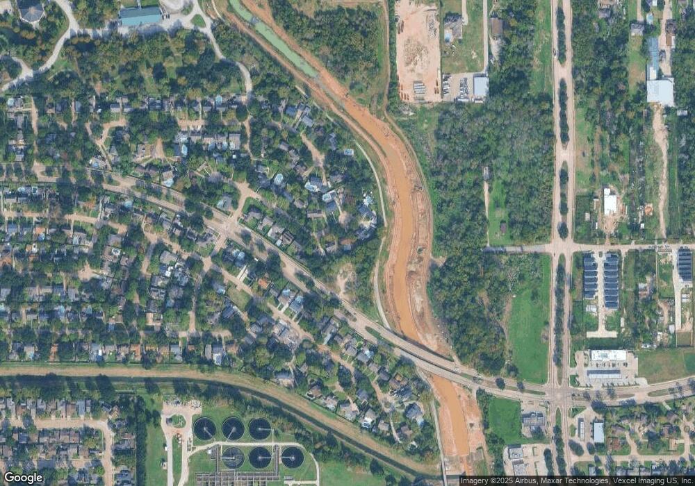
4807 Caris St Houston, TX 77091
Oak Forest-Garden Oaks NeighborhoodEstimated Value: $418,000 - $515,000
4
Beds
3
Baths
2,646
Sq Ft
$176/Sq Ft
Est. Value
About This Home
This home is located at 4807 Caris St, Houston, TX 77091 and is currently estimated at $466,333, approximately $176 per square foot. 4807 Caris St is a home located in Harris County with nearby schools including Clifton Middle, Scarborough High School, and Southwest Schools Mangum El Campus.
Ownership History
Date
Name
Owned For
Owner Type
Purchase Details
Closed on
Jun 4, 2003
Sold by
Viator Jerry A and Viator Rosa F
Bought by
Mellott Craig A
Current Estimated Value
Home Financials for this Owner
Home Financials are based on the most recent Mortgage that was taken out on this home.
Original Mortgage
$147,400
Outstanding Balance
$76,435
Interest Rate
8.37%
Mortgage Type
Purchase Money Mortgage
Estimated Equity
$389,898
Create a Home Valuation Report for This Property
The Home Valuation Report is an in-depth analysis detailing your home's value as well as a comparison with similar homes in the area
Home Values in the Area
Average Home Value in this Area
Purchase History
| Date | Buyer | Sale Price | Title Company |
|---|---|---|---|
| Mellott Craig A | -- | American Title Company |
Source: Public Records
Mortgage History
| Date | Status | Borrower | Loan Amount |
|---|---|---|---|
| Open | Mellott Craig A | $147,400 |
Source: Public Records
Tax History Compared to Growth
Tax History
| Year | Tax Paid | Tax Assessment Tax Assessment Total Assessment is a certain percentage of the fair market value that is determined by local assessors to be the total taxable value of land and additions on the property. | Land | Improvement |
|---|---|---|---|---|
| 2025 | $656 | $287,486 | $115,653 | $171,833 |
| 2024 | $656 | $335,602 | $115,653 | $219,949 |
| 2023 | $656 | $345,890 | $102,047 | $243,843 |
| 2022 | $6,626 | $324,842 | $102,047 | $222,795 |
| 2021 | $6,376 | $273,569 | $68,031 | $205,538 |
| 2020 | $6,163 | $263,811 | $68,031 | $195,780 |
| 2019 | $5,854 | $246,790 | $68,031 | $178,759 |
| 2018 | $3,977 | $210,322 | $68,031 | $142,291 |
| 2017 | $6,048 | $239,437 | $68,031 | $171,406 |
| 2016 | $5,498 | $225,863 | $68,031 | $157,832 |
| 2015 | $3,535 | $219,335 | $68,031 | $151,304 |
| 2014 | $3,535 | $194,616 | $47,622 | $146,994 |
Source: Public Records
Map
Nearby Homes
- 4906 Droddy St
- 4702 Bayou Vista Dr
- 5010 Oak Shadows Dr
- 5609 Savyon Dr
- 5608 Savyon Dr
- 3402 Paul Quinn St
- 3318 Paul Quinn St
- 3422 Mansfield St
- 4836 Creekmont Dr
- 5612 Iris Harvest Dr
- 4923 Golden Forest Dr
- 4923 Golden Forest Dr Unit A
- Jefferson II Plan at Highland Grove
- 3414 Mansfield St
- 3406 Mansfield St
- 3215 Cedar Dawn Ln
- 5014 Golden Forest Dr
- 5016 Golden Forest Dr
- 5018 Golden Forest Dr
- 6024 T C Jester Blvd
- 4811 Caris St
- 4803 Caris St
- 4815 Caris St
- 4810 Caris St
- 4802 Caris St
- 4814 Caris St
- 4819 Caris St
- 4806 Caris St
- 4826 Caris St
- 4823 Caris St
- 4807 Droddy St
- 4803 Droddy St
- 4827 Caris St
- 4830 Caris St
- 4806 Bayou Vista Dr
- 4810 Bayou Vista Dr
- 4802 Bayou Vista Dr
- 4811 Droddy St
- 4831 Caris St
- 4802 Droddy St
