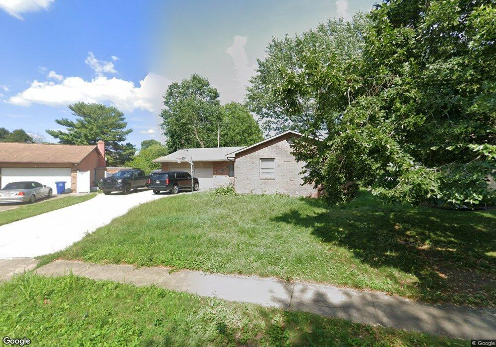
4808 Dechant Rd Columbus, OH 43229
Woodward Park NeighborhoodEstimated Value: $269,000 - $346,000
3
Beds
2
Baths
1,720
Sq Ft
$177/Sq Ft
Est. Value
About This Home
This home is located at 4808 Dechant Rd, Columbus, OH 43229 and is currently estimated at $304,876, approximately $177 per square foot. 4808 Dechant Rd is a home located in Franklin County with nearby schools including Valley Forge Elementary School, Woodward Park Middle School, and Northland High School.
Ownership History
Date
Name
Owned For
Owner Type
Purchase Details
Closed on
Nov 20, 2009
Sold by
Hopkins Kim K and Hopkins Kim
Bought by
Danielson Brian
Current Estimated Value
Home Financials for this Owner
Home Financials are based on the most recent Mortgage that was taken out on this home.
Original Mortgage
$125,190
Outstanding Balance
$81,325
Interest Rate
4.9%
Mortgage Type
FHA
Estimated Equity
$223,551
Purchase Details
Closed on
Dec 19, 1994
Sold by
Est Katherine J Troup
Bought by
Kim Hopkins
Create a Home Valuation Report for This Property
The Home Valuation Report is an in-depth analysis detailing your home's value as well as a comparison with similar homes in the area
Home Values in the Area
Average Home Value in this Area
Purchase History
| Date | Buyer | Sale Price | Title Company |
|---|---|---|---|
| Danielson Brian | $127,500 | Arrow Title | |
| Kim Hopkins | $80,000 | -- |
Source: Public Records
Mortgage History
| Date | Status | Borrower | Loan Amount |
|---|---|---|---|
| Open | Danielson Brian | $125,190 |
Source: Public Records
Tax History Compared to Growth
Tax History
| Year | Tax Paid | Tax Assessment Tax Assessment Total Assessment is a certain percentage of the fair market value that is determined by local assessors to be the total taxable value of land and additions on the property. | Land | Improvement |
|---|---|---|---|---|
| 2024 | $4,138 | $92,200 | $22,020 | $70,180 |
| 2023 | $4,085 | $92,190 | $22,015 | $70,175 |
| 2022 | $2,812 | $54,220 | $14,490 | $39,730 |
| 2021 | $2,817 | $54,220 | $14,490 | $39,730 |
| 2020 | $2,971 | $54,220 | $14,490 | $39,730 |
| 2019 | $2,606 | $42,950 | $11,590 | $31,360 |
| 2018 | $2,490 | $42,950 | $11,590 | $31,360 |
| 2017 | $2,604 | $42,950 | $11,590 | $31,360 |
| 2016 | $2,623 | $39,590 | $9,660 | $29,930 |
| 2015 | $2,381 | $39,590 | $9,660 | $29,930 |
| 2014 | $2,387 | $39,590 | $9,660 | $29,930 |
| 2013 | $1,240 | $41,685 | $10,185 | $31,500 |
Source: Public Records
Map
Nearby Homes
- 1125 Upland Dr
- 1116 Tulsa Dr
- 4904 Almont Dr
- 4983 Almont Dr
- 1414 Alvina Dr
- 1266 Pershing Dr
- 1071 Loring Rd
- 4791 Bourke Rd
- 4815 Bourke Rd
- 4800 Bourke Rd
- 4816 Bourke Rd
- 4761 Colonel Perry Dr
- 1385 Thurell Rd
- 4852 Colonel Perry Dr
- 1485 Norma Rd
- 4441 Wetmore Rd E
- 4923 Karl Rd Unit 4925
- 4455 Kenfield Rd
- 5246 Eisenhower Rd
- 964 Strimple Ave
- 4800 Dechant Rd
- 4816 Dechant Rd
- 4809 Esterbrook Rd
- 4799 Esterbrook Rd
- 4817 Esterbrook Rd
- 4788 Dechant Rd
- 1160 Tulsa Dr
- 4805 Dechant Rd
- 4791 Esterbrook Rd
- 4825 Esterbrook Rd
- 1152 Tulsa Dr
- 4780 Dechant Rd
- 4797 Dechant Rd
- 4783 Esterbrook Rd
- 4833 Esterbrook Rd
- 1145 Tulsa Dr
- 1161 Upland Dr
- 1144 Tulsa Dr
- 1146 Dechant Ct
- 4775 Esterbrook Rd