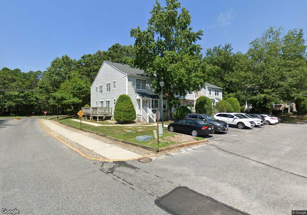
4808 Hawthorne Ln Mays Landing, NJ 08330
Estimated Value: $200,649 - $230,000
--
Bed
--
Bath
992
Sq Ft
$221/Sq Ft
Est. Value
About This Home
This home is located at 4808 Hawthorne Ln, Mays Landing, NJ 08330 and is currently estimated at $218,883, approximately $220 per square foot. 4808 Hawthorne Ln is a home located in Atlantic County with nearby schools including George L. Hess Educational Complex, Joseph Shaner School, and William Davies Middle School.
Ownership History
Date
Name
Owned For
Owner Type
Purchase Details
Closed on
May 10, 2004
Sold by
Chilliri Pasquale S and Chilliri Patrick
Bought by
Chilliri Valerie K
Current Estimated Value
Create a Home Valuation Report for This Property
The Home Valuation Report is an in-depth analysis detailing your home's value as well as a comparison with similar homes in the area
Home Values in the Area
Average Home Value in this Area
Purchase History
| Date | Buyer | Sale Price | Title Company |
|---|---|---|---|
| Chilliri Valerie K | -- | -- |
Source: Public Records
Tax History Compared to Growth
Tax History
| Year | Tax Paid | Tax Assessment Tax Assessment Total Assessment is a certain percentage of the fair market value that is determined by local assessors to be the total taxable value of land and additions on the property. | Land | Improvement |
|---|---|---|---|---|
| 2025 | $3,798 | $110,700 | $20,000 | $90,700 |
| 2024 | $3,798 | $110,700 | $20,000 | $90,700 |
| 2023 | $3,571 | $110,700 | $20,000 | $90,700 |
| 2022 | $3,571 | $110,700 | $20,000 | $90,700 |
| 2021 | $3,563 | $110,700 | $20,000 | $90,700 |
| 2020 | $3,563 | $110,700 | $20,000 | $90,700 |
| 2019 | $3,572 | $110,700 | $20,000 | $90,700 |
| 2018 | $3,447 | $110,700 | $20,000 | $90,700 |
| 2017 | $3,583 | $116,900 | $25,000 | $91,900 |
| 2016 | $3,482 | $116,900 | $25,000 | $91,900 |
| 2015 | $3,364 | $116,900 | $25,000 | $91,900 |
| 2014 | $3,746 | $142,600 | $45,000 | $97,600 |
Source: Public Records
Map
Nearby Homes
- 4902 Winterbury Dr
- 4915 Winterbury Dr Unit B14
- 4772 Summersweet Dr
- 4934 Winterbury Dr Unit I86
- 4905 Bala Ct
- 4930 Denbigh Ct
- 4869 Bala Ct
- 4951 Cardigan Ct
- 4873 Bala Ct
- 4944 Flintshire Ct
- 1574 John Adams Ct Unit 1574
- 1553 John Adams Ct Unit 653
- 2409 Arbor Ct
- 5022 Laydon Ct
- 4505 Concord Place Unit K86
- 2123 Rhododendron Ct Unit 57B
- 2127 Rhododendron Ct Unit 25
- 2340 Primrose Ct
- 144 Knights Bridge Way
- 2418 Primrose Ct
- 4810 Hawthorne Ln
- 4804 Hawthorne Ln Unit Z198
- 4807 Hawthorne Ln Unit Z203
- 4809 Hawthorne Ln
- 4809 Hawthorne Ln Unit 204
- 4805 Hawthorne Ln Unit Z200
- 4802 Hawthorne Ln Unit Z197
- 4801 Hawthorne Ln Unit Z199
- 4813 Hawthorne Ln
- 4811 Hawthorne Ln Unit AA205
- 4812 Hawthorne Ln Unit AA207
- 4814 Hawthorne Ln
- 4816 Hawthorne Ln Unit AA209
- 4817 Hawthorne Ln Unit AA211
- 2821 Hawthorne Ln
- 4815 Hawthorne Ln
- 4818 Hawthorne Ln
- 4820 Hawthorne Ln
- 4900 Winterbury Dr
- 4822 Hawthorne Ln Unit AA214