481 22nd St Otsego, MI 49078
Estimated Value: $383,000 - $529,000
Studio
3
Baths
2,104
Sq Ft
$216/Sq Ft
Est. Value
About This Home
This home is located at 481 22nd St, Otsego, MI 49078 and is currently estimated at $454,579, approximately $216 per square foot. 481 22nd St is a home located in Allegan County with nearby schools including Otsego High School and Otsego Christian Academy.
Ownership History
Date
Name
Owned For
Owner Type
Purchase Details
Closed on
Aug 31, 2013
Sold by
Klein Paul W and Klein Becky L
Bought by
Klein Paul W
Current Estimated Value
Home Financials for this Owner
Home Financials are based on the most recent Mortgage that was taken out on this home.
Original Mortgage
$334,400
Outstanding Balance
$246,384
Interest Rate
4.39%
Mortgage Type
New Conventional
Estimated Equity
$208,195
Purchase Details
Closed on
Aug 17, 1996
Sold by
Klein Paul W and Klein Becky L
Create a Home Valuation Report for This Property
The Home Valuation Report is an in-depth analysis detailing your home's value as well as a comparison with similar homes in the area
Home Values in the Area
Average Home Value in this Area
Purchase History
| Date | Buyer | Sale Price | Title Company |
|---|---|---|---|
| Klein Paul W | -- | First Title & Escrow | |
| -- | -- | -- | |
| -- | -- | -- |
Source: Public Records
Mortgage History
| Date | Status | Borrower | Loan Amount |
|---|---|---|---|
| Open | Klein Paul W | $334,400 |
Source: Public Records
Tax History
| Year | Tax Paid | Tax Assessment Tax Assessment Total Assessment is a certain percentage of the fair market value that is determined by local assessors to be the total taxable value of land and additions on the property. | Land | Improvement |
|---|---|---|---|---|
| 2025 | $5,867 | $260,700 | $21,600 | $239,100 |
| 2024 | $4,942 | $228,300 | $20,300 | $208,000 |
| 2023 | $5,032 | $195,000 | $19,800 | $175,200 |
| 2022 | $4,942 | $176,600 | $18,500 | $158,100 |
| 2021 | $4,683 | $169,100 | $18,000 | $151,100 |
| 2020 | $4,606 | $164,300 | $20,000 | $144,300 |
| 2019 | $4,470 | $145,900 | $15,500 | $130,400 |
| 2018 | $4,408 | $167,300 | $13,700 | $153,600 |
| 2017 | $0 | $167,500 | $9,200 | $158,300 |
| 2016 | $0 | $144,200 | $9,200 | $135,000 |
| 2015 | -- | $144,200 | $9,200 | $135,000 |
| 2014 | $2,974 | $136,800 | $9,700 | $127,100 |
| 2013 | $2,974 | $107,900 | $11,900 | $96,000 |
Source: Public Records
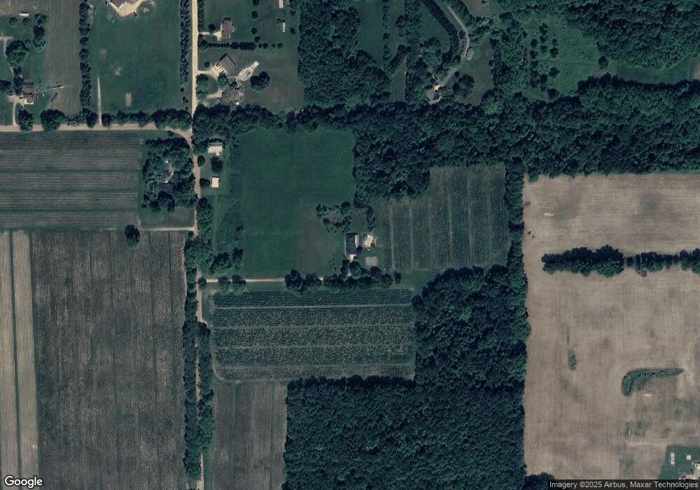
Map
Nearby Homes
- 1868 Jefferson Rd
- 2057 108th Ave
- 602 Lincoln Rd
- 2435 108th Ave
- 528 Lincoln Rd
- 70 20th St
- 2222 101st Ave
- 0 Briarwood St Unit 25002251
- 1920 Sheen Hollow
- 361 W Allegan St
- 1655 Aspen Trail
- 516 Catherine St
- 1660 Aspen Trail
- 303 W Franklin St
- 218 S North St
- 1648 Aspen Trail
- 1639 Aspen Trail
- 1644 Aspen Trail
- 1636 Aspen Trail
- 301 Helen Ave
- 2154 Brinn Vista Dr
- 2198 Brinn Vista Dr
- 488 22nd St
- 2182 Brinn Vista Dr
- 2 Brinn Vista Dr
- 1 Brinn Vista Dr
- 0 Brinn Vista Dr
- 2203 Brinn Vista Dr
- 2159 Brinn Vista Dr
- 2196 Jefferson Rd
- 2190 Jefferson Rd
- 2225 105th Ave
- 2150 Jefferson Rd
- 2155 Fox Mountain Dr
- 2195 Brinn Vista Dr
- 2127 Jefferson Rd
- 392 Rolling View Dr
- 2240 105th Ave
- 500 Harter Dr
- 2222 Jefferson Rd
Your Personal Tour Guide
Ask me questions while you tour the home.