481 2700 N Ave Tampico, IL 61283
Estimated Value: $100,000 - $156,373
--
Bed
--
Bath
--
Sq Ft
1
Acres
About This Home
This home is located at 481 2700 N Ave, Tampico, IL 61283 and is currently estimated at $130,458. 481 2700 N Ave is a home with nearby schools including Prophetstown High School.
Ownership History
Date
Name
Owned For
Owner Type
Purchase Details
Closed on
Dec 27, 2012
Sold by
Sorensen Jeffrey A
Bought by
Kropf Ralph A and Kropf Lynette S
Current Estimated Value
Purchase Details
Closed on
Jul 19, 2005
Sold by
Magnuson Dale and Magnuson Shirley
Bought by
Sorenson Jeffrey A
Home Financials for this Owner
Home Financials are based on the most recent Mortgage that was taken out on this home.
Original Mortgage
$96,000
Interest Rate
5.69%
Mortgage Type
Future Advance Clause Open End Mortgage
Create a Home Valuation Report for This Property
The Home Valuation Report is an in-depth analysis detailing your home's value as well as a comparison with similar homes in the area
Home Values in the Area
Average Home Value in this Area
Purchase History
| Date | Buyer | Sale Price | Title Company |
|---|---|---|---|
| Kropf Ralph A | $75,000 | None Available | |
| Sorenson Jeffrey A | $110,000 | None Available |
Source: Public Records
Mortgage History
| Date | Status | Borrower | Loan Amount |
|---|---|---|---|
| Previous Owner | Sorenson Jeffrey A | $96,000 |
Source: Public Records
Tax History Compared to Growth
Tax History
| Year | Tax Paid | Tax Assessment Tax Assessment Total Assessment is a certain percentage of the fair market value that is determined by local assessors to be the total taxable value of land and additions on the property. | Land | Improvement |
|---|---|---|---|---|
| 2024 | $2,959 | $46,751 | $4,283 | $42,468 |
| 2023 | $2,959 | $43,550 | $3,990 | $39,560 |
| 2022 | $2,805 | $40,470 | $3,708 | $36,762 |
| 2021 | $2,641 | $37,348 | $3,422 | $33,926 |
| 2020 | $2,670 | $36,854 | $3,377 | $33,477 |
| 2019 | $2,670 | $36,167 | $3,314 | $32,853 |
| 2018 | $2,491 | $34,376 | $3,150 | $31,226 |
| 2017 | $2,536 | $33,603 | $3,079 | $30,524 |
| 2016 | $2,544 | $32,536 | $2,981 | $29,555 |
| 2015 | -- | $28,479 | $0 | $28,479 |
| 2014 | -- | $31,351 | $2,872 | $28,479 |
| 2013 | -- | $32,122 | $2,943 | $29,179 |
Source: Public Records
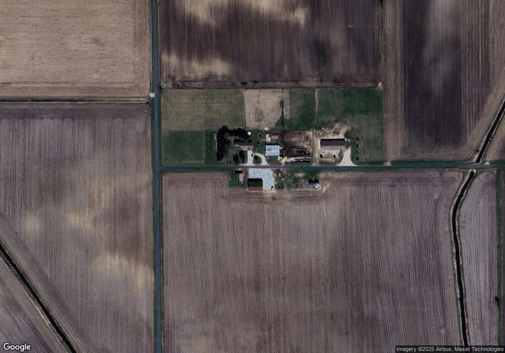
Map
Nearby Homes
- 000 Jersey Rd
- 0000 Jersey Rd
- 25689 Jersey Rd
- 0 Countryman Rd
- 24261 E 2520th St
- 402 S Main St
- 210 N Main St
- 20566 S Wilsey Rd
- 26004 Rd
- 21446 County Road 700 E
- 80 Smit Rd
- 23856 E 2200th St
- 720 Smit Rd
- 622 Woodlawn Dr
- 503 Sunset Dr
- 340 Tree Ln
- 609 Washington St
- 808 Locust St
- 605 Washington St
- 607 Washington St