Estimated Value: $328,000 - $396,000
3
Beds
2
Baths
1,098
Sq Ft
$326/Sq Ft
Est. Value
About This Home
This home is located at 481 Britton Rd E, Barre, MA 01005 and is currently estimated at $358,309, approximately $326 per square foot. 481 Britton Rd E is a home located in Worcester County with nearby schools including Quabbin Regional Middle School and Quabbin Regional High School.
Ownership History
Date
Name
Owned For
Owner Type
Purchase Details
Closed on
Aug 13, 2002
Sold by
Roberts Roland W
Bought by
Deschamps David A and Deschamps Lynne
Current Estimated Value
Create a Home Valuation Report for This Property
The Home Valuation Report is an in-depth analysis detailing your home's value as well as a comparison with similar homes in the area
Home Values in the Area
Average Home Value in this Area
Purchase History
| Date | Buyer | Sale Price | Title Company |
|---|---|---|---|
| Deschamps David A | $11,000 | -- | |
| Deschamps David A | $11,000 | -- |
Source: Public Records
Mortgage History
| Date | Status | Borrower | Loan Amount |
|---|---|---|---|
| Previous Owner | Deschamps David A | $40,000 | |
| Previous Owner | Deschamps David A | $95,500 |
Source: Public Records
Tax History
| Year | Tax Paid | Tax Assessment Tax Assessment Total Assessment is a certain percentage of the fair market value that is determined by local assessors to be the total taxable value of land and additions on the property. | Land | Improvement |
|---|---|---|---|---|
| 2025 | $4,712 | $346,700 | $58,500 | $288,200 |
| 2024 | $4,620 | $330,500 | $55,900 | $274,600 |
| 2023 | $4,027 | $253,900 | $43,100 | $210,800 |
| 2022 | $3,893 | $231,200 | $37,000 | $194,200 |
| 2021 | $3,780 | $210,000 | $37,000 | $173,000 |
| 2020 | $3,590 | $200,900 | $37,000 | $163,900 |
| 2019 | $3,408 | $188,100 | $33,400 | $154,700 |
| 2018 | $3,476 | $184,900 | $33,400 | $151,500 |
| 2017 | $3,336 | $178,400 | $33,400 | $145,000 |
| 2016 | $3,094 | $173,800 | $30,400 | $143,400 |
| 2015 | $3,111 | $166,900 | $37,400 | $129,500 |
| 2014 | $2,674 | $166,500 | $44,900 | $121,600 |
Source: Public Records
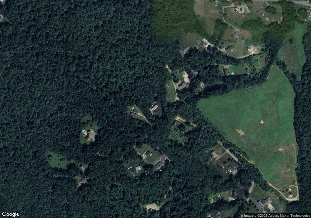
Map
Nearby Homes
- 0 Station Rd
- 106 Peach St
- 29 High St N
- 572 Wheelwright Rd
- 23 Trafalgar Square Unit 23
- 661 Wheelwright Rd
- 865 S Barre Rd
- 621 Woods Rd
- 1940 Barre Rd
- 1215 South St
- 38 Edson Rd
- 0 Bullard Rd
- 926 Old Turnpike Rd
- 58 Ruggles St
- 1109 New Braintree Rd
- 256 Worcester Rd
- 716 Hardwick Rd
- 5 Old Coldbrook Rd
- 67 Maple St
- 1350 Thresher Rd
- 475 Britton Rd E
- 320 Oakham Rd
- 298 Oakham Rd
- 422 Britton Rd E
- 283 Oakham Rd
- Lot 18 Britton Rd E
- 418 Britton Rd E
- 278 Oakham Rd
- 431 Britton Rd E Unit 2
- 431 Britton Rd E
- 431 Britton Rd E Unit 1
- 258 Oakham Rd
- 261 Oakham Rd
- 362 Oakham Rd
- 401 Britton Rd E
- 253 Oakham Rd
- 388 Oakham Rd
- 249 Oakham Rd
- 231 Oakham Rd
- 412 Oakham Rd
Your Personal Tour Guide
Ask me questions while you tour the home.