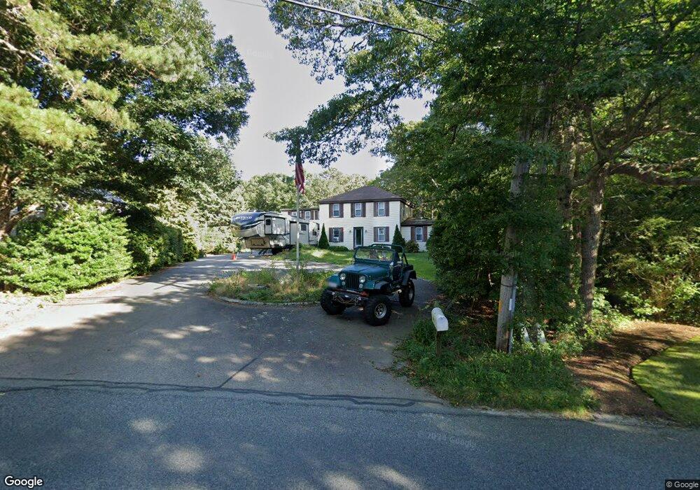
481 Center St Dennis Port, MA 02639
Dennis Port NeighborhoodEstimated Value: $821,000 - $1,002,071
4
Beds
5
Baths
2,830
Sq Ft
$320/Sq Ft
Est. Value
About This Home
This home is located at 481 Center St, Dennis Port, MA 02639 and is currently estimated at $904,518, approximately $319 per square foot. 481 Center St is a home located in Barnstable County with nearby schools including Dennis-Yarmouth Regional High School and St. Pius X. School.
Ownership History
Date
Name
Owned For
Owner Type
Purchase Details
Closed on
Nov 3, 2016
Sold by
Brown Roger G and Brown Deborah J
Bought by
Romer Scott W and Williams-Romer Jennie C
Current Estimated Value
Home Financials for this Owner
Home Financials are based on the most recent Mortgage that was taken out on this home.
Original Mortgage
$391,800
Outstanding Balance
$315,141
Interest Rate
3.48%
Mortgage Type
New Conventional
Estimated Equity
$589,377
Purchase Details
Closed on
May 10, 1977
Bought by
Brown Roger G and Brown Deborah J
Create a Home Valuation Report for This Property
The Home Valuation Report is an in-depth analysis detailing your home's value as well as a comparison with similar homes in the area
Home Values in the Area
Average Home Value in this Area
Purchase History
| Date | Buyer | Sale Price | Title Company |
|---|---|---|---|
| Romer Scott W | $412,500 | -- | |
| Brown Roger G | -- | -- |
Source: Public Records
Mortgage History
| Date | Status | Borrower | Loan Amount |
|---|---|---|---|
| Open | Romer Scott W | $391,800 | |
| Previous Owner | Brown Roger G | $150,000 | |
| Previous Owner | Brown Roger G | $150,000 |
Source: Public Records
Tax History Compared to Growth
Tax History
| Year | Tax Paid | Tax Assessment Tax Assessment Total Assessment is a certain percentage of the fair market value that is determined by local assessors to be the total taxable value of land and additions on the property. | Land | Improvement |
|---|---|---|---|---|
| 2025 | $3,322 | $767,300 | $159,700 | $607,600 |
| 2024 | $3,536 | $805,400 | $162,600 | $642,800 |
| 2023 | $3,420 | $732,300 | $147,800 | $584,500 |
| 2022 | $3,265 | $583,100 | $147,900 | $435,200 |
| 2021 | $3,016 | $500,200 | $130,500 | $369,700 |
| 2020 | $2,818 | $462,000 | $130,500 | $331,500 |
| 2019 | $2,811 | $455,600 | $128,000 | $327,600 |
| 2018 | $23 | $410,400 | $121,800 | $288,600 |
| 2017 | $2,401 | $390,400 | $121,800 | $268,600 |
| 2016 | $2,383 | $364,900 | $135,400 | $229,500 |
| 2015 | $2,236 | $349,300 | $135,400 | $213,900 |
| 2014 | $2,139 | $336,800 | $108,300 | $228,500 |
Source: Public Records
Map
Nearby Homes
- 537 Depot St
- 360 Center St
- 116 Searsville Rd
- 171 Searsville Rd
- 29 Highland St
- 11 Lane Rd
- 20 Aunt Debbys Rd
- 24 Indian Trail
- 78 Upper County Rd Unit A&B
- 78 Upper County Rd
- 91 Depot Rd W
- 3 Jennifer Ln
- 31 Duck Pond Rd
- 9 Country Ln
- 37 Cyprus Rd
- 47 Telegraph Rd Unit 1
- 141 Division St
- 141 Division St
- 401 Main St Unit 201
- 401 Main St Unit 101
- 481 Center St
- 473 Center St Unit 1
- 473 Center St
- 485 Center St
- 485 Center St
- 13 Calico
- 13 Calico Unit 13
- 10 Calico
- 3 Calico Unit 3
- 489 Center St
- 0 Calico Cir Unit 9
- 484 Center St
- 2 Calico Cir Unit 2
- 473 Center St Unit 13
- 473 Center St Unit 12
- 473 Center St Unit 11
- 473 Center St Unit 10
- 473 Center St Unit 9
- 473 Center St Unit 8
- 473 Center St Unit 7