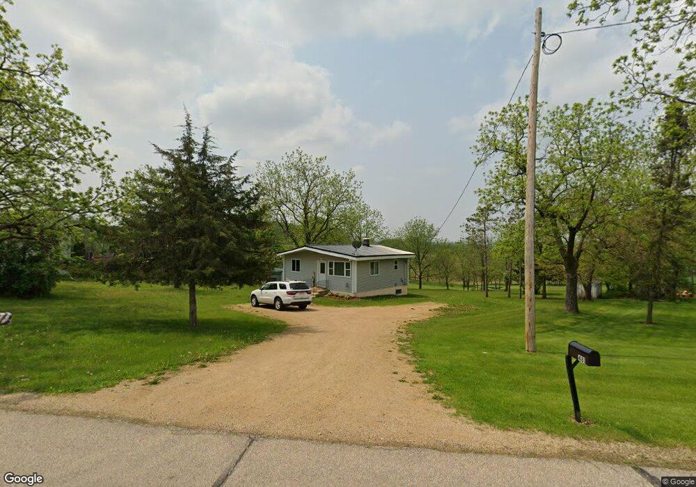
481 E Dale St Browntown, WI 53522
Estimated Value: $108,175 - $331,000
Studio
--
Bath
--
Sq Ft
54,450
Sq Ft Lot
About This Home
This home is located at 481 E Dale St, Browntown, WI 53522 and is currently estimated at $204,044. 481 E Dale St is a home located in Green County.
Ownership History
Date
Name
Owned For
Owner Type
Purchase Details
Closed on
Jun 10, 2016
Sold by
Green County
Bought by
Meyer Mandy J and Meyer Craig J
Current Estimated Value
Create a Home Valuation Report for This Property
The Home Valuation Report is an in-depth analysis detailing your home's value as well as a comparison with similar homes in the area
Purchase History
| Date | Buyer | Sale Price | Title Company |
|---|---|---|---|
| Meyer Mandy J | -- | None Available |
Source: Public Records
Tax History
| Year | Tax Paid | Tax Assessment Tax Assessment Total Assessment is a certain percentage of the fair market value that is determined by local assessors to be the total taxable value of land and additions on the property. | Land | Improvement |
|---|---|---|---|---|
| 2025 | $656 | $45,000 | $17,200 | $27,800 |
| 2024 | $624 | $45,000 | $17,200 | $27,800 |
| 2023 | $737 | $45,000 | $17,200 | $27,800 |
| 2022 | $815 | $38,700 | $13,200 | $25,500 |
| 2021 | $783 | $38,700 | $13,200 | $25,500 |
| 2020 | $753 | $38,700 | $13,200 | $25,500 |
| 2019 | $652 | $38,700 | $13,200 | $25,500 |
| 2018 | $777 | $37,000 | $13,200 | $23,800 |
| 2017 | $794 | $37,000 | $13,200 | $23,800 |
| 2016 | $785 | $37,000 | $13,200 | $23,800 |
| 2014 | $1,345 | $37,000 | $13,200 | $23,800 |
Source: Public Records
Map
Nearby Homes
- W8394 Pilz Rd
- N2577 Pine Tree Rd
- 7841 W Hwy County M
- N2451 Ullom Rd Unit 10
- 305 S Warren St
- 13806 Illinois 73
- Lot 1 Alphorn Rd
- 4393 N Duncan Hill Rd
- 507 W 8th St
- 1.86 ACRES W 8th St
- 209 27th St
- 2721 3rd Ave
- Lot 1 W 6th St
- 2.51 ACRES 4th Ave
- 1 Ac +/- W 8th St
- 104 AC +/- County Hwy N
- 1007 8th Ave
- 1625 10th Ave
- Lot 35 Briar Ln
- 1128 19th St
Your Personal Tour Guide
Ask me questions while you tour the home.