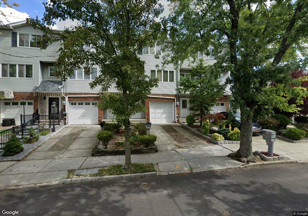
481 Elverton Ave Staten Island, NY 10308
Great Kills NeighborhoodEstimated Value: $575,484 - $642,000
--
Bed
4
Baths
1,330
Sq Ft
$462/Sq Ft
Est. Value
About This Home
This home is located at 481 Elverton Ave, Staten Island, NY 10308 and is currently estimated at $613,871, approximately $461 per square foot. 481 Elverton Ave is a home located in Richmond County with nearby schools including P.S. 32 The Gifford School, I.S. 075 Frank D. Paulo, and Susan E Wagner High School.
Ownership History
Date
Name
Owned For
Owner Type
Purchase Details
Closed on
Dec 23, 2023
Sold by
Corrado Yolanda
Bought by
Corrado Elvira
Current Estimated Value
Purchase Details
Closed on
Sep 26, 2000
Sold by
Criscuola Joseph and Criscuola Kleonikke
Bought by
Corrado Yolanda
Home Financials for this Owner
Home Financials are based on the most recent Mortgage that was taken out on this home.
Original Mortgage
$176,000
Interest Rate
7.62%
Create a Home Valuation Report for This Property
The Home Valuation Report is an in-depth analysis detailing your home's value as well as a comparison with similar homes in the area
Home Values in the Area
Average Home Value in this Area
Purchase History
| Date | Buyer | Sale Price | Title Company |
|---|---|---|---|
| Corrado Elvira | -- | Regal Title | |
| Corrado Yolanda | $188,000 | -- |
Source: Public Records
Mortgage History
| Date | Status | Borrower | Loan Amount |
|---|---|---|---|
| Previous Owner | Corrado Yolanda | $176,000 |
Source: Public Records
Tax History Compared to Growth
Tax History
| Year | Tax Paid | Tax Assessment Tax Assessment Total Assessment is a certain percentage of the fair market value that is determined by local assessors to be the total taxable value of land and additions on the property. | Land | Improvement |
|---|---|---|---|---|
| 2025 | $5,098 | $35,820 | $4,262 | $31,558 |
| 2024 | $5,110 | $33,360 | $4,576 | $28,784 |
| 2023 | $4,908 | $25,567 | $4,753 | $20,814 |
| 2022 | $4,528 | $24,960 | $5,700 | $19,260 |
| 2021 | $4,676 | $25,860 | $5,700 | $20,160 |
| 2020 | $4,428 | $22,320 | $5,700 | $16,620 |
| 2019 | $4,431 | $23,760 | $5,700 | $18,060 |
| 2018 | $4,046 | $21,306 | $4,796 | $16,510 |
| 2017 | $3,798 | $20,100 | $5,700 | $14,400 |
| 2016 | $3,816 | $20,640 | $5,700 | $14,940 |
| 2015 | $3,602 | $21,580 | $4,582 | $16,998 |
| 2014 | $3,602 | $20,359 | $4,918 | $15,441 |
Source: Public Records
Map
Nearby Homes
- 87 Pemberton Ave
- 466 Doane Ave
- 72 Eric Ln
- 132 Elkhart St
- 12 Lexington Ln
- 414 Elverton Ave
- 379 Brookfield Ave
- 420 Arthur Kill Rd
- 350 Brookfield Ave
- 62 Daleham St
- 259 Brookfield Ave
- 339 Abingdon Ave
- 12 Troy St
- 38 Troy St
- 40 Troy St
- 307 Abingdon Ave
- 74 E Brandis Ave
- 271 Doane Ave
- 52 Barlow Ave
- 919 Armstrong Ave
- 483 Elverton Ave
- 479 Elverton Ave
- 485 Elverton Ave
- 487 Elverton Ave
- 473 Elverton Ave
- 489 Elverton Ave
- 491 Elverton Ave
- 104 Pemberton Ave
- 100 Pemberton Ave
- 471 Elverton Ave
- 108 Pemberton Ave
- 94 Pemberton Ave
- 110 Pemberton Ave
- 92 Pemberton Ave
- 465 Elverton Ave
- 88 Pemberton Ave
- 114 Pemberton Ave Unit 2nd Floor
- 114 Pemberton Ave
- 474 Elverton Ave
- 476 Elverton Ave