Estimated Value: $367,000 - $587,565
3
Beds
1
Bath
800
Sq Ft
$579/Sq Ft
Est. Value
About This Home
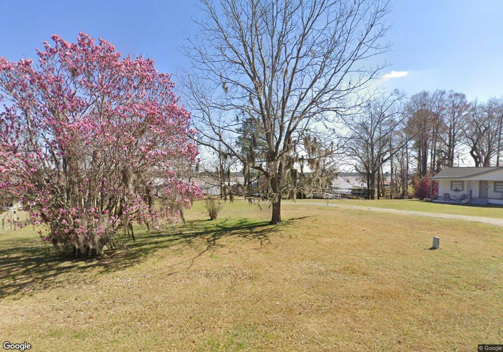
This home is located at 481 Flintside Dr, Cobb, GA 31735 and is currently estimated at $463,141, approximately $578 per square foot. 481 Flintside Dr is a home located in Sumter County with nearby schools including Sumter County Primary School, Sumter County Elementary School, and Sumter County Middle School.
Ownership History
Date
Name
Owned For
Owner Type
Purchase Details
Closed on
Aug 30, 2017
Sold by
Owens Joel H
Bought by
Jenkins Wallace B
Current Estimated Value
Purchase Details
Closed on
Jun 20, 2012
Sold by
Dean Jane B
Bought by
Dp Partners Lp
Purchase Details
Closed on
Feb 18, 2011
Sold by
Hutchins Keith W
Bought by
Owens Joel H and Owens April M
Purchase Details
Closed on
Jan 21, 1975
Bought by
Dean Jane B
Create a Home Valuation Report for This Property
The Home Valuation Report is an in-depth analysis detailing your home's value as well as a comparison with similar homes in the area
Purchase History
| Date | Buyer | Sale Price | Title Company |
|---|---|---|---|
| Jenkins Wallace B | $182,000 | -- | |
| Dp Partners Lp | -- | -- | |
| Owens Joel H | $145,300 | -- | |
| Dean Jane B | -- | -- |
Source: Public Records
Tax History
| Year | Tax Paid | Tax Assessment Tax Assessment Total Assessment is a certain percentage of the fair market value that is determined by local assessors to be the total taxable value of land and additions on the property. | Land | Improvement |
|---|---|---|---|---|
| 2025 | $5,165 | $150,600 | $102,920 | $47,680 |
| 2024 | $5,165 | $150,600 | $102,920 | $47,680 |
| 2023 | $5,016 | $150,600 | $102,920 | $47,680 |
| 2022 | $5,016 | $150,600 | $102,920 | $47,680 |
| 2021 | $5,026 | $150,600 | $102,920 | $47,680 |
| 2020 | $5,186 | $150,600 | $102,920 | $47,680 |
| 2019 | $4,768 | $139,204 | $102,920 | $36,284 |
| 2018 | $4,768 | $139,204 | $102,920 | $36,284 |
| 2017 | $4,768 | $139,204 | $102,920 | $36,284 |
| 2016 | $4,772 | $139,204 | $102,920 | $36,284 |
| 2015 | $4,233 | $124,724 | $84,720 | $40,004 |
| 2014 | $4,239 | $124,724 | $84,720 | $40,004 |
| 2013 | -- | $124,724 | $84,720 | $40,004 |
Source: Public Records
Map
Nearby Homes
- 418 Flintside Dr
- 631 Flintside Dr
- 655 Flintside Dr
- 115 Ellis Ct
- Lot 1, 2 Scenic Route
- 580 Scenic Route
- Lot 3,4 Scenic Route
- 373 Ed Stephens Rd Unit E
- 377 Ed Stephens Rd
- 687 Flintside Dr
- 600 Scenic Route
- 850 Scenic Route
- 175 Flintside Dr
- Lot # 2 Rose Landing
- 0 Lot #3 & Part Lot#4 Unit 59461
- 153 Landing Rd
- 141 Landing Rd
- 147 Landing Rd
- 127 Landing Rd
- 475 N Cedar Creek Rd
- 479 Flintside Dr
- 477 Flintside Dr
- 491 Flintside Dr
- 471 Flintside Dr
- 00 Flintside Dr
- 000 Flintside Dr
- 569 Flintside Dr Unit Parcel A-1
- 569 Flintside Dr Unit Tr A/1.53Ac
- 569 Flintside Dr
- Tract A Flintside Dr Unit Lot 2
- Tract A Flintside Dr Unit Lot 1
- Tract A Flintside Dr
- 467 Flintside Dr
- 501 Flintside Dr
- 503 Flintside Dr
- 496 Flintside Dr
- 463 Flintside Dr
- 0 Flintside Dr Unit Lot 2,A 8406056
- 0 Flintside Dr Unit Lot 1,A 8406044
- 0 Flintside Dr Unit TRACT A 7278393
Your Personal Tour Guide
Ask me questions while you tour the home.