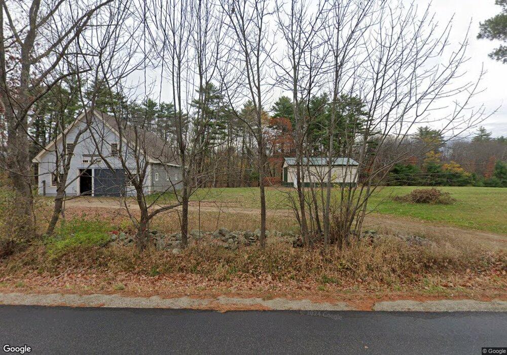
481 Gore Rd Alfred, ME 04002
Estimated Value: $337,461 - $404,000
--
Bed
--
Bath
--
Sq Ft
10.11
Acres
About This Home
This home is located at 481 Gore Rd, Alfred, ME 04002 and is currently estimated at $367,115. 481 Gore Rd is a home with nearby schools including Massabesic High School.
Create a Home Valuation Report for This Property
The Home Valuation Report is an in-depth analysis detailing your home's value as well as a comparison with similar homes in the area
Home Values in the Area
Average Home Value in this Area
Tax History Compared to Growth
Tax History
| Year | Tax Paid | Tax Assessment Tax Assessment Total Assessment is a certain percentage of the fair market value that is determined by local assessors to be the total taxable value of land and additions on the property. | Land | Improvement |
|---|---|---|---|---|
| 2025 | $2,685 | $278,211 | $153,325 | $124,886 |
| 2024 | $2,629 | $278,211 | $153,325 | $124,886 |
| 2023 | $2,141 | $113,900 | $78,300 | $35,600 |
| 2022 | $2,050 | $113,900 | $78,300 | $35,600 |
| 2021 | $1,965 | $113,900 | $78,300 | $35,600 |
| 2020 | $1,868 | $113,900 | $78,300 | $35,600 |
| 2019 | $1,868 | $113,900 | $78,300 | $35,600 |
| 2018 | $1,811 | $113,900 | $78,300 | $35,600 |
| 2017 | $2,124 | $113,900 | $78,300 | $35,600 |
| 2016 | $2,661 | $113,900 | $78,300 | $35,600 |
| 2015 | $1,652 | $113,900 | $78,300 | $35,600 |
| 2014 | $1,623 | $113,900 | $78,300 | $35,600 |
| 2013 | $1,566 | $113,900 | $78,300 | $35,600 |
Source: Public Records
Map
Nearby Homes
- 67 Carpenter Hill Rd
- 691 Gore Rd
- Lot 1 Martin Cir
- 232 Waterboro Rd
- 5 Cooper Way
- 599 Gore Rd
- 74 Lisa Dr
- 15 Scooter Way
- Lot 650 Gebung Rd
- 146 Rhode Island Ave
- TBD Olde Farnham Rd
- 450 West Rd
- 34 Cascade Cir Unit 30
- 22 White House Cove Rd
- 26 Kolbe Dr
- 16 Marcotte Ln
- 51 Sanford Rd
- 95 Walnut Hill Rd
- 58 Sanford Rd
- TBD Elm St