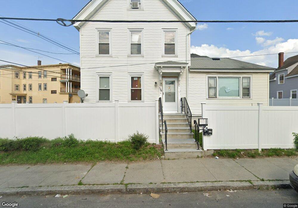
481 High St Unit 3 Lawrence, MA 01841
Prospect Hill-Back Bay NeighborhoodEstimated Value: $793,000 - $845,000
1
Bed
1
Bath
2,492
Sq Ft
$326/Sq Ft
Est. Value
About This Home
This home is located at 481 High St Unit 3, Lawrence, MA 01841 and is currently estimated at $812,333, approximately $325 per square foot. 481 High St Unit 3 is a home located in Essex County with nearby schools including School For Exceptional Studies, Community Day Charter Public School - Gateway, and Esperanza Academy School of Hope.
Ownership History
Date
Name
Owned For
Owner Type
Purchase Details
Closed on
Oct 30, 2012
Sold by
Tellez Stephanie
Bought by
Diaz Francisca
Current Estimated Value
Home Financials for this Owner
Home Financials are based on the most recent Mortgage that was taken out on this home.
Original Mortgage
$170,848
Outstanding Balance
$116,540
Interest Rate
3.12%
Mortgage Type
FHA
Estimated Equity
$695,793
Purchase Details
Closed on
Nov 5, 2008
Sold by
Sabando Edgar
Bought by
Tellez Stephanie
Home Financials for this Owner
Home Financials are based on the most recent Mortgage that was taken out on this home.
Original Mortgage
$151,180
Interest Rate
6.08%
Mortgage Type
Purchase Money Mortgage
Purchase Details
Closed on
Jun 18, 1993
Sold by
Fhlmc
Bought by
Sabando Edgar
Create a Home Valuation Report for This Property
The Home Valuation Report is an in-depth analysis detailing your home's value as well as a comparison with similar homes in the area
Home Values in the Area
Average Home Value in this Area
Purchase History
| Date | Buyer | Sale Price | Title Company |
|---|---|---|---|
| Diaz Francisca | $174,000 | -- | |
| Tellez Stephanie | $152,000 | -- | |
| Sabando Edgar | $45,000 | -- |
Source: Public Records
Mortgage History
| Date | Status | Borrower | Loan Amount |
|---|---|---|---|
| Open | Diaz Francisca | $170,848 | |
| Previous Owner | Tellez Stephanie | $151,180 | |
| Previous Owner | Sabando Edgar | $142,100 | |
| Previous Owner | Sabando Edgar | $30,000 | |
| Previous Owner | Sabando Edgar | $720,000 |
Source: Public Records
Tax History
| Year | Tax Paid | Tax Assessment Tax Assessment Total Assessment is a certain percentage of the fair market value that is determined by local assessors to be the total taxable value of land and additions on the property. | Land | Improvement |
|---|---|---|---|---|
| 2025 | $5,756 | $654,100 | $134,200 | $519,900 |
| 2024 | $5,466 | $590,900 | $129,800 | $461,100 |
| 2023 | $5,431 | $534,500 | $111,900 | $422,600 |
| 2022 | $4,989 | $436,100 | $103,800 | $332,300 |
| 2021 | $4,742 | $386,500 | $103,800 | $282,700 |
| 2020 | $4,219 | $339,400 | $83,200 | $256,200 |
| 2019 | $4,064 | $297,100 | $86,100 | $211,000 |
| 2018 | $3,945 | $275,500 | $78,300 | $197,200 |
| 2017 | $3,870 | $252,300 | $77,500 | $174,800 |
| 2016 | $3,496 | $225,400 | $51,600 | $173,800 |
| 2015 | $3,139 | $207,600 | $51,600 | $156,000 |
Source: Public Records
Map
Nearby Homes
- 39 Swan Ave
- 14 Court St
- 12 Annette St
- 106 Leroy Ave
- 25-27 Bicknell Ave
- 5 Kendrick St
- 18 Erhardt Terrace
- 7 Erhardt Terrace
- 264 E Haverhill St Unit 2
- 32 Josephine Ave
- 2 Leslie St
- 192 Union St
- 65 Arthur St
- 129-131 Lexington St
- 68 Ashford St
- 80-82 Haverhill St
- 89 Newbury St Unit 89B
- 173 Jackson St
- 37 Albion St
- 91 Summer St Unit 2
- 481 High St
- 473 High St
- 202 Ferry St
- 208 Ferry St
- 480 High St
- 480 High St Unit 2
- 201-203 Ferry St
- 201 Ferry St Unit 203
- 467 High St Unit 469
- 205 Ferry St
- 210 Ferry St
- 207 Ferry St Unit 1
- 46 Kendall St
- 472 High St
- 465 High St
- 54 Kendall St
- 54 Kendall St Unit 1
- 209 Ferry St
- 42 Kendall St Unit 44
- 7 Campo Seco St
Your Personal Tour Guide
Ask me questions while you tour the home.