481 Mandeville Rd Carrollton, GA 30117
Estimated Value: $449,000 - $640,978
4
Beds
4
Baths
2,505
Sq Ft
$218/Sq Ft
Est. Value
About This Home
This home is located at 481 Mandeville Rd, Carrollton, GA 30117 and is currently estimated at $544,989, approximately $217 per square foot. 481 Mandeville Rd is a home located in Carroll County with nearby schools including Mt. Zion Elementary School, Mt. Zion Middle School, and Mt. Zion High School.
Ownership History
Date
Name
Owned For
Owner Type
Purchase Details
Closed on
Dec 1, 2005
Sold by
Navarre Robert
Bought by
Mcclanahan James B and Mcclanahan Johanna
Current Estimated Value
Home Financials for this Owner
Home Financials are based on the most recent Mortgage that was taken out on this home.
Original Mortgage
$138,500
Interest Rate
6.23%
Mortgage Type
New Conventional
Purchase Details
Closed on
Apr 20, 2004
Sold by
Navarre Kristi
Bought by
Navarre Robert
Create a Home Valuation Report for This Property
The Home Valuation Report is an in-depth analysis detailing your home's value as well as a comparison with similar homes in the area
Home Values in the Area
Average Home Value in this Area
Purchase History
| Date | Buyer | Sale Price | Title Company |
|---|---|---|---|
| Mcclanahan James B | $170,000 | -- | |
| Navarre Robert | -- | -- | |
| Navarre Robert | -- | -- |
Source: Public Records
Mortgage History
| Date | Status | Borrower | Loan Amount |
|---|---|---|---|
| Closed | Mcclanahan James B | $138,500 |
Source: Public Records
Tax History Compared to Growth
Tax History
| Year | Tax Paid | Tax Assessment Tax Assessment Total Assessment is a certain percentage of the fair market value that is determined by local assessors to be the total taxable value of land and additions on the property. | Land | Improvement |
|---|---|---|---|---|
| 2024 | $4,680 | $245,125 | $67,479 | $177,646 |
| 2023 | $4,680 | $216,296 | $53,984 | $162,312 |
| 2022 | $3,526 | $153,787 | $23,341 | $130,446 |
| 2021 | $2,878 | $131,506 | $18,672 | $112,834 |
| 2020 | $2,604 | $116,395 | $16,975 | $99,420 |
| 2019 | $2,448 | $109,349 | $16,975 | $92,374 |
| 2018 | $2,073 | $93,517 | $16,975 | $76,542 |
| 2017 | $2,085 | $93,517 | $16,975 | $76,542 |
| 2016 | $2,041 | $93,517 | $16,975 | $76,542 |
| 2015 | $1,908 | $117,830 | $50,398 | $67,432 |
| 2014 | $1,912 | $117,830 | $50,398 | $67,432 |
Source: Public Records
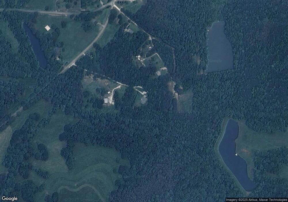
Map
Nearby Homes
- 14 Cole Lake Rd
- 00 Hog Liver Rd Unit 346
- 0 Hog Liver Rd Unit 148331
- 0 Hog Liver Rd Unit 10630257
- 0 Hog Liver Rd Unit 7671087
- 0 Hog Liver Rd Unit 10614601
- 0 Hog Liver Rd Unit 10630818
- 0000 Hog Liver Rd
- 676 Hog Liver Rd
- 0 Hwy 27 N
- 177 Garnett Point Dr
- 2990 N Highway 27
- 1800 Mandeville Rd
- 174 Katie Ln
- 406 Holly Springs Rd
- 266 Lambert Overlook Cir
- The Thomas 2 Plan at Lambert Overlook
- The Thomas Plan at Lambert Overlook
- The Brook Plan at Lambert Overlook
- 77 Little River Rd
- 679 Cole Lake Rd
- 715 Coles Lake Rd
- 715 Cole Lake Rd
- 655 Cole Lake Rd
- 621 Cole Lake Rd
- 511 Mandeville Rd
- 575 Mandeville Rd
- 564 Mandeville Rd
- 522 Mandeville Rd
- 20 Coles Lake Rd
- 20 Cole Lake Rd
- 602 Mandeville Rd
- 605 Mandeville Rd
- 639 Mandeville Rd
- 632 Mandeville Rd
- 420 Cole Lake Rd
- 640 Mandeville Rd
- 657 Mandeville Rd
- 350 Cole Lake Rd
- 771 Mandeville Rd