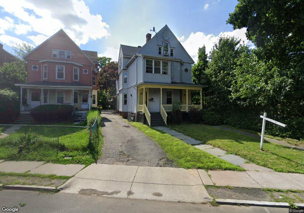
481 Maple Ave Unit 483 Hartford, CT 06114
Barry Square NeighborhoodEstimated Value: $385,000 - $438,000
6
Beds
3
Baths
3,121
Sq Ft
$131/Sq Ft
Est. Value
About This Home
This home is located at 481 Maple Ave Unit 483, Hartford, CT 06114 and is currently estimated at $410,026, approximately $131 per square foot. 481 Maple Ave Unit 483 is a home located in Hartford County with nearby schools including M. D. Fox School, Asian Studies School At Dwight/Belizzi School, and Dr. James H Naylor/Ccsu Leadership Academy.
Ownership History
Date
Name
Owned For
Owner Type
Purchase Details
Closed on
Apr 29, 2004
Sold by
Rizza Sal
Bought by
Ragoowansi Rajagopalan G and Ragoowansi Suneeta
Current Estimated Value
Home Financials for this Owner
Home Financials are based on the most recent Mortgage that was taken out on this home.
Original Mortgage
$159,200
Interest Rate
5.36%
Mortgage Type
Purchase Money Mortgage
Create a Home Valuation Report for This Property
The Home Valuation Report is an in-depth analysis detailing your home's value as well as a comparison with similar homes in the area
Home Values in the Area
Average Home Value in this Area
Purchase History
| Date | Buyer | Sale Price | Title Company |
|---|---|---|---|
| Ragoowansi Rajagopalan G | $199,000 | -- |
Source: Public Records
Mortgage History
| Date | Status | Borrower | Loan Amount |
|---|---|---|---|
| Closed | Ragoowansi Rajagopalan G | $131,250 | |
| Closed | Ragoowansi Rajagopalan G | $159,200 | |
| Previous Owner | Ragoowansi Rajagopalan G | $82,183 |
Source: Public Records
Tax History Compared to Growth
Tax History
| Year | Tax Paid | Tax Assessment Tax Assessment Total Assessment is a certain percentage of the fair market value that is determined by local assessors to be the total taxable value of land and additions on the property. | Land | Improvement |
|---|---|---|---|---|
| 2025 | $5,471 | $79,343 | $7,497 | $71,846 |
| 2024 | $5,471 | $79,343 | $7,497 | $71,846 |
| 2023 | $5,471 | $79,343 | $7,497 | $71,846 |
| 2022 | $4,082 | $79,343 | $7,497 | $71,846 |
| 2021 | $4,082 | $54,950 | $9,940 | $45,010 |
| 2020 | $4,082 | $54,950 | $9,940 | $45,010 |
| 2019 | $4,082 | $54,950 | $9,940 | $45,010 |
| 2018 | $3,945 | $53,097 | $9,604 | $43,493 |
| 2016 | $3,817 | $51,375 | $9,148 | $42,227 |
| 2015 | $3,635 | $48,935 | $8,714 | $40,221 |
| 2014 | $3,546 | $47,738 | $8,500 | $39,238 |
Source: Public Records
Map
Nearby Homes
- 114 Shultas Place Unit 116
- 213 Franklin Ave Unit 405
- 3 Pawtucket St
- 1 Warner Street Extension
- 49 Benton St
- 71 Franklin Ave
- 30 Shultas Place Unit 32
- 16 Essex St Unit 5D
- 17 Bond St
- 26 Barker St Unit 28
- 15 Bond St
- 69 Mountford St Unit 3A
- 27 Allen Place
- 73 Mountford St Unit 3B
- 2 Franklin Ave Unit C
- 152 Otis St
- 68 Morris St Unit 102
- 35 Clifford St
- 497 Wethersfield Ave
- 147 Preston St Unit 1
- 165 Benton St Unit 167
- 158 Benton St Unit 160
- 455 Maple Ave
- 162 Benton St Unit 164
- 166 Benton St Unit 168
- 179 Benton St Unit 181
- 179 Benton St Unit 2
- 503 Maple Ave Unit 505
- 173 Benton St Unit 175
- 173 Benton St Unit 3RD
- 181 Benton St Unit 3
- 511 Maple Ave
- 511 Maple Ave Unit 1A
- 443 Maple Ave
- 519 Maple Ave Unit 521
- 180 Benton St
- 21 Barnard St
- 184 Benton St
- 1 Barnard St
- 23 Barnard St Unit 25