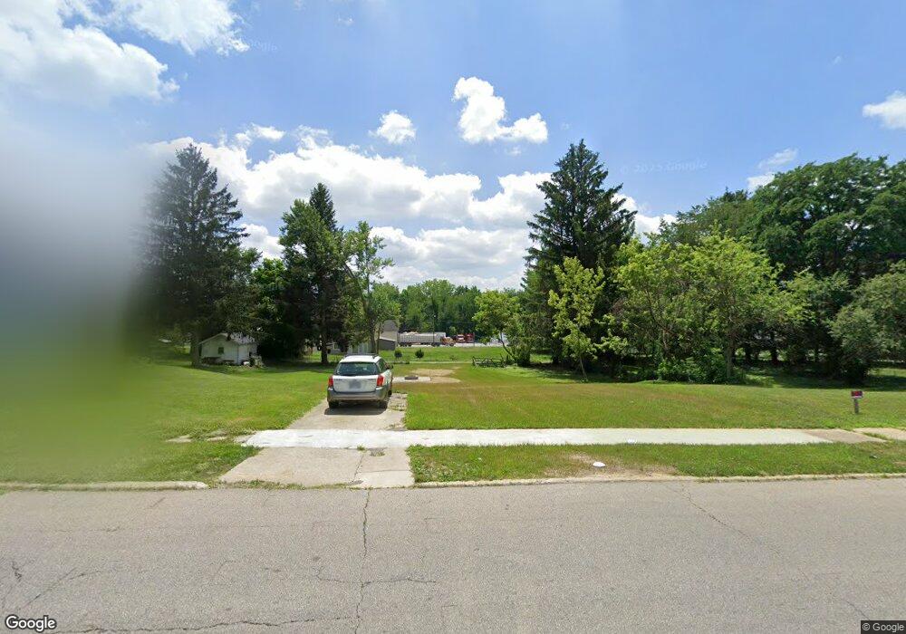
481 Mcpherson St Mansfield, OH 44903
Estimated Value: $75,000 - $128,000
3
Beds
2
Baths
1,288
Sq Ft
$83/Sq Ft
Est. Value
About This Home
This home is located at 481 Mcpherson St, Mansfield, OH 44903 and is currently estimated at $106,772, approximately $82 per square foot. 481 Mcpherson St is a home located in Richland County with nearby schools including Mansfield Elective Academy, Foundation Academy, and Goal Digital Academy.
Ownership History
Date
Name
Owned For
Owner Type
Purchase Details
Closed on
May 22, 2018
Sold by
Not Provided
Bought by
Richland County Land Reutilization Corpo
Current Estimated Value
Purchase Details
Closed on
Jan 23, 2018
Sold by
Mansfield Woods Limited Partnership
Bought by
Mcpherson Woods Family Apartments Llc
Home Financials for this Owner
Home Financials are based on the most recent Mortgage that was taken out on this home.
Original Mortgage
$1,300,000
Interest Rate
3.93%
Mortgage Type
Future Advance Clause Open End Mortgage
Create a Home Valuation Report for This Property
The Home Valuation Report is an in-depth analysis detailing your home's value as well as a comparison with similar homes in the area
Home Values in the Area
Average Home Value in this Area
Purchase History
| Date | Buyer | Sale Price | Title Company |
|---|---|---|---|
| Richland County Land Reutilization Corpo | -- | None Available | |
| Mcpherson Woods Family Apartments Llc | $1,419,000 | Fidelity Title |
Source: Public Records
Mortgage History
| Date | Status | Borrower | Loan Amount |
|---|---|---|---|
| Previous Owner | Mcpherson Woods Family Apartments Llc | $1,300,000 |
Source: Public Records
Tax History Compared to Growth
Tax History
| Year | Tax Paid | Tax Assessment Tax Assessment Total Assessment is a certain percentage of the fair market value that is determined by local assessors to be the total taxable value of land and additions on the property. | Land | Improvement |
|---|---|---|---|---|
| 2024 | $707 | $14,770 | $4,080 | $10,690 |
| 2023 | $707 | $14,770 | $4,080 | $10,690 |
| 2022 | $692 | $12,120 | $3,710 | $8,410 |
| 2021 | $697 | $12,120 | $3,710 | $8,410 |
| 2020 | $713 | $12,120 | $3,710 | $8,410 |
| 2019 | $790 | $12,120 | $3,710 | $8,410 |
| 2018 | $780 | $12,120 | $3,710 | $8,410 |
| 2017 | $765 | $12,120 | $3,710 | $8,410 |
| 2016 | $770 | $11,930 | $3,530 | $8,400 |
| 2015 | $770 | $11,930 | $3,530 | $8,400 |
| 2014 | $726 | $11,930 | $3,530 | $8,400 |
| 2012 | $293 | $12,550 | $3,710 | $8,840 |
Source: Public Records
Map
Nearby Homes
- 426 Mcpherson St
- 512 Burns St
- 0 Voegele Ave Unit Lot 6048, 6049, 6
- 0 State Route 314 Unit 9069650
- 0 State Route 314 Unit 9067316
- 0 State Route 314 Unit 225021979
- 371 Bell St
- 362-364 W 6th St
- 237 Helen Ave
- 688 Mcpherson St
- 212 Penn Ave
- 269 Parkway Dr
- 0 Highway 30
- 185 Rowland Ave
- 283 Bulkley Ave
- 526 Bowman St
- 170 Western Ave
- 120 Gettings Place
- 282 W 5th St
- 156 Buckingham Ave Unit 158
- 481 Mcpherson St
- 477 Mcpherson St
- 485 Mcpherson St
- 473 Mcpherson St
- 469 Mcpherson St
- 487 Mcpherson St
- 480 Mcpherson St
- 465 Mcpherson St
- 474 Mcpherson St
- 457 Mcpherson St
- 486 Mcpherson St
- 472 Mcpherson St
- 461 Mcpherson St
- 496 Mcpherson St
- 464 Mcpherson St
- 458 Reed St
- 456 Reed St
- 444 Howard St
- 460 Reed St
- 507 Mcpherson St