Estimated Value: $364,000 - $386,754
3
Beds
1
Bath
872
Sq Ft
$426/Sq Ft
Est. Value
About This Home
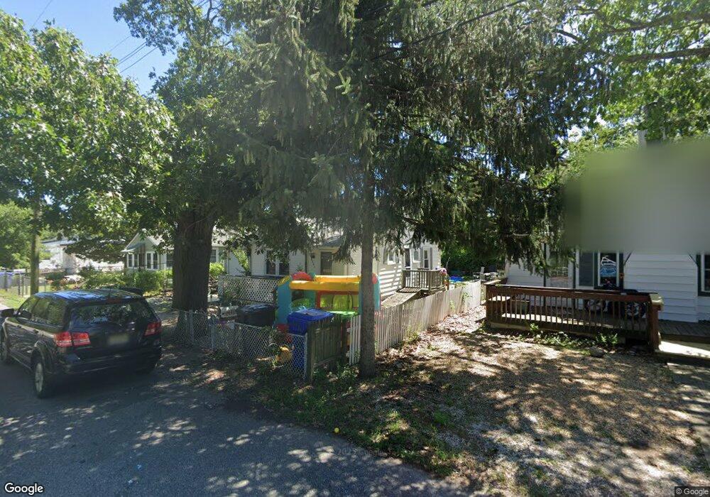
This home is located at 481 Mohawk Dr, Brick, NJ 08723 and is currently estimated at $371,689, approximately $426 per square foot. 481 Mohawk Dr is a home located in Ocean County with nearby schools including Emma Havens Young Elementary School, Lake Riviera Middle School, and Brick Township High School.
Ownership History
Date
Name
Owned For
Owner Type
Purchase Details
Closed on
Apr 19, 2005
Sold by
Terranova Carmen and Terranova Salvatore
Bought by
Griffin Ryan W
Current Estimated Value
Home Financials for this Owner
Home Financials are based on the most recent Mortgage that was taken out on this home.
Original Mortgage
$163,250
Outstanding Balance
$85,172
Interest Rate
5.95%
Mortgage Type
Fannie Mae Freddie Mac
Estimated Equity
$286,517
Purchase Details
Closed on
Nov 5, 2004
Sold by
Terranova Carmen
Bought by
Terranova Carmen and Terranova Salvatore
Home Financials for this Owner
Home Financials are based on the most recent Mortgage that was taken out on this home.
Original Mortgage
$162,000
Interest Rate
5.68%
Mortgage Type
New Conventional
Create a Home Valuation Report for This Property
The Home Valuation Report is an in-depth analysis detailing your home's value as well as a comparison with similar homes in the area
Home Values in the Area
Average Home Value in this Area
Purchase History
| Date | Buyer | Sale Price | Title Company |
|---|---|---|---|
| Griffin Ryan W | $200,000 | -- | |
| Terranova Carmen | -- | American Home Title Agency |
Source: Public Records
Mortgage History
| Date | Status | Borrower | Loan Amount |
|---|---|---|---|
| Open | Griffin Ryan W | $163,250 | |
| Previous Owner | Terranova Carmen | $162,000 | |
| Closed | Griffin Ryan W | $20,400 |
Source: Public Records
Tax History
| Year | Tax Paid | Tax Assessment Tax Assessment Total Assessment is a certain percentage of the fair market value that is determined by local assessors to be the total taxable value of land and additions on the property. | Land | Improvement |
|---|---|---|---|---|
| 2025 | $5,325 | $196,200 | $134,200 | $62,000 |
| 2024 | $4,817 | $196,200 | $134,200 | $62,000 |
| 2023 | $4,754 | $196,200 | $134,200 | $62,000 |
| 2022 | $4,754 | $196,200 | $134,200 | $62,000 |
| 2021 | $4,654 | $196,200 | $134,200 | $62,000 |
| 2020 | $4,595 | $196,200 | $134,200 | $62,000 |
| 2019 | $4,518 | $196,200 | $134,200 | $62,000 |
| 2018 | $4,415 | $196,200 | $134,200 | $62,000 |
| 2017 | $4,295 | $196,200 | $134,200 | $62,000 |
| 2016 | $4,273 | $196,200 | $134,200 | $62,000 |
| 2015 | $4,161 | $196,200 | $134,200 | $62,000 |
| 2014 | $4,128 | $196,200 | $134,200 | $62,000 |
Source: Public Records
Map
Nearby Homes
- 488 Mohawk Dr
- 484 Bara St
- 477 Mantoloking Rd
- 0 Mantoloking Rd Unit 11584872
- 478 Mantoloking Rd
- 507 Adamston Rd
- 474 Burnt Bark Rd
- 439 Adamston Rd
- 421 Malibu Way
- 56 Tall Timber Dr
- 61 Reservation Row
- 00 Mantoloking Rd
- 15 Hulse Landing Rd
- 53 Country Club Ct
- 9 Bayberry Ave
- 570 Mantoloking Rd
- 33 Wintergreen Ave
- 578 Kingfisher Cir
- 593 Leanora St
- 580 Kingfisher Cir
Your Personal Tour Guide
Ask me questions while you tour the home.