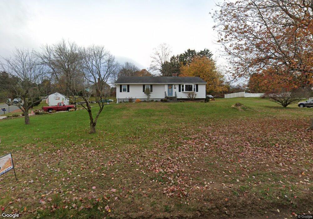
481 Oakland Rd South Windsor, CT 06074
Estimated Value: $337,000 - $427,943
3
Beds
2
Baths
1,548
Sq Ft
$254/Sq Ft
Est. Value
About This Home
This home is located at 481 Oakland Rd, South Windsor, CT 06074 and is currently estimated at $392,736, approximately $253 per square foot. 481 Oakland Rd is a home located in Hartford County with nearby schools including Timothy Edwards School, South Windsor High School, and St Bridget School.
Ownership History
Date
Name
Owned For
Owner Type
Purchase Details
Closed on
Dec 19, 2018
Sold by
Soule Kevin F
Bought by
Soule Maria C
Current Estimated Value
Purchase Details
Closed on
Apr 25, 2001
Sold by
Bank One
Bought by
Soule Kevin and Soule Maria
Home Financials for this Owner
Home Financials are based on the most recent Mortgage that was taken out on this home.
Original Mortgage
$118,750
Interest Rate
6.88%
Purchase Details
Closed on
Nov 15, 1999
Sold by
Russak Alexander and Russak Rhoda
Bought by
Mccabe James
Purchase Details
Closed on
Dec 6, 1988
Sold by
Mark Brian
Bought by
Russak Alexander
Purchase Details
Closed on
Aug 10, 1987
Sold by
Emanuelson Fred
Bought by
Mark Brian
Create a Home Valuation Report for This Property
The Home Valuation Report is an in-depth analysis detailing your home's value as well as a comparison with similar homes in the area
Home Values in the Area
Average Home Value in this Area
Purchase History
| Date | Buyer | Sale Price | Title Company |
|---|---|---|---|
| Soule Maria C | -- | -- | |
| Soule Kevin | $125,000 | -- | |
| Mccabe James | $128,000 | -- | |
| Russak Alexander | $160,000 | -- | |
| Mark Brian | $159,900 | -- |
Source: Public Records
Mortgage History
| Date | Status | Borrower | Loan Amount |
|---|---|---|---|
| Previous Owner | Mark Brian | $185,500 | |
| Previous Owner | Mark Brian | $120,000 | |
| Previous Owner | Mark Brian | $118,750 |
Source: Public Records
Tax History Compared to Growth
Tax History
| Year | Tax Paid | Tax Assessment Tax Assessment Total Assessment is a certain percentage of the fair market value that is determined by local assessors to be the total taxable value of land and additions on the property. | Land | Improvement |
|---|---|---|---|---|
| 2024 | $6,665 | $193,400 | $86,200 | $107,200 |
| 2023 | $6,409 | $193,400 | $86,200 | $107,200 |
| 2022 | $5,218 | $134,600 | $80,200 | $54,400 |
| 2021 | $5,096 | $134,600 | $80,200 | $54,400 |
| 2020 | $5,099 | $134,600 | $80,200 | $54,400 |
| 2019 | $5,182 | $134,600 | $80,200 | $54,400 |
| 2018 | $5,070 | $134,600 | $80,200 | $54,400 |
| 2017 | $5,042 | $132,400 | $80,200 | $52,200 |
| 2016 | $4,944 | $132,400 | $80,200 | $52,200 |
| 2015 | $4,838 | $132,400 | $80,200 | $52,200 |
| 2014 | $4,702 | $132,400 | $80,200 | $52,200 |
Source: Public Records
Map
Nearby Homes
- 455 Oakland Rd
- 33 Imperial Dr
- 25 Summit Dr
- 10 Mohegan Trail
- 120 Avery St
- 4 Alpine Dr
- 65 Donahue Ln
- 11 Carman Rd
- 486 Tolland Turnpike
- 34 Benedict Dr
- 25 Chatsworth Ct
- 23 Chatsworth Ct
- 21 Chatsworth Ct
- 400 Avery St
- 122 Greenwood Dr
- 372 Oakland St
- 175 Valley View Dr
- 11 Kupchunos Rd
- 16 Kelly Rd
- 1506 Summer Hill Dr Unit 1506