481 Oxbow Cir Pagosa Springs, CO 81147
Estimated Value: $276,000 - $1,396,000
--
Bed
--
Bath
--
Sq Ft
0.99
Acres
About This Home
This home is located at 481 Oxbow Cir, Pagosa Springs, CO 81147 and is currently estimated at $986,812. 481 Oxbow Cir is a home located in Archuleta County with nearby schools including Pagosa Springs Elementary School, Pagosa Springs Middle School, and Pagosa Springs High School.
Ownership History
Date
Name
Owned For
Owner Type
Purchase Details
Closed on
Sep 6, 2011
Sold by
Brenda C Williams Revocable Trust
Bought by
Freeman Louis D and Freeman Gail L
Current Estimated Value
Purchase Details
Closed on
Oct 21, 2002
Sold by
Powder Horn Development Llc
Bought by
Williams Brenda C Revocable Trust
Purchase Details
Closed on
Apr 24, 2002
Sold by
Harvey Ray
Bought by
Powder Horn Development Llc
Purchase Details
Closed on
Aug 9, 2001
Sold by
Baise George R and Baise Judith A
Bought by
Harvey Ray
Purchase Details
Closed on
Nov 1, 1991
Sold by
Farm Credit Services
Bought by
Baise George R and Baise Jud
Purchase Details
Closed on
Feb 28, 1991
Sold by
Farm Credit Bank Of
Bought by
Farm Credit Service
Purchase Details
Closed on
Oct 10, 1989
Sold by
Perkins and Sheriff
Bought by
Farm Credit Bank
Purchase Details
Closed on
Feb 11, 1987
Sold by
Clt
Bought by
Perkins Calvin
Purchase Details
Closed on
Jun 1, 1984
Sold by
Perkins Calvin J
Bought by
Colorado Land Title
Create a Home Valuation Report for This Property
The Home Valuation Report is an in-depth analysis detailing your home's value as well as a comparison with similar homes in the area
Home Values in the Area
Average Home Value in this Area
Purchase History
| Date | Buyer | Sale Price | Title Company |
|---|---|---|---|
| Freeman Louis D | $87,500 | Colorado Land Title Co | |
| Williams Brenda C Revocable Trust | $85,000 | -- | |
| Powder Horn Development Llc | -- | -- | |
| Harvey Ray | $585,000 | -- | |
| Baise George R | $150,000 | -- | |
| Farm Credit Service | -- | -- | |
| Farm Credit Bank | -- | -- | |
| Perkins Calvin | -- | -- | |
| Colorado Land Title | -- | -- |
Source: Public Records
Tax History Compared to Growth
Tax History
| Year | Tax Paid | Tax Assessment Tax Assessment Total Assessment is a certain percentage of the fair market value that is determined by local assessors to be the total taxable value of land and additions on the property. | Land | Improvement |
|---|---|---|---|---|
| 2024 | $4,483 | $73,980 | $12,020 | $61,960 |
| 2023 | $4,483 | $73,980 | $12,020 | $61,960 |
| 2022 | $3,213 | $49,430 | $6,320 | $43,110 |
| 2021 | $3,485 | $50,860 | $6,510 | $44,350 |
| 2020 | $3,947 | $56,730 | $6,160 | $50,570 |
| 2019 | $3,896 | $56,730 | $6,160 | $50,570 |
| 2018 | $4,013 | $53,220 | $5,580 | $47,640 |
| 2017 | $3,519 | $53,220 | $5,580 | $47,640 |
| 2016 | $2,669 | $39,860 | $6,370 | $33,490 |
| 2015 | -- | $30,970 | $6,370 | $24,600 |
| 2014 | -- | $25,380 | $25,380 | $0 |
Source: Public Records
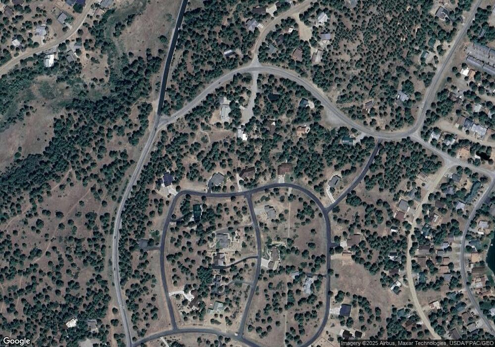
Map
Nearby Homes
- 81 Oxbow Cir
- 77 Fisher Ct
- 233 Sweetwater Dr
- 142 Capitan Cir
- 18 Balfour Ct
- 1288 Antelope Ave
- 698 Monument Ave
- 1338 Antelope Ave
- 276 Capitan Cir
- 165 Twincreek Cir
- 279 Capitan Cir
- 1318 Cloud Cap Ave
- 151 Escobar Ave
- 32 Ermine Ct
- 25 Ermine Ct
- 824 Antelope
- 1520 Antelope Ave
- 8 Caballero Dr
- 46 Carefree Place
- 95 Enchanted Place
- 0 Stone Ct
- 53 Stone Ct
- 251 Oxbow Cir
- 285 Powderhorn Dr
- 48 Stone Ct
- 980 Aspenglow Blvd
- 33 Stone Ct
- 559 Oxbow Cir
- 260 Powderhorn Dr
- 575 Oxbow Cir
- 20 Stone Ct
- 596 Oxbow Cir
- 986 Aspenglow Blvd
- 0 Powderhorn Dr Unit 755133
- 0 Powderhorn Dr Unit 754494
- 0 Powderhorn Dr Unit 747459
- 0 Powderhorn Dr Unit 743189
- 0 Powderhorn Dr Unit 738620
- 0 Powderhorn Dr Unit 610567
- 0 Powderhorn Dr Unit 640814