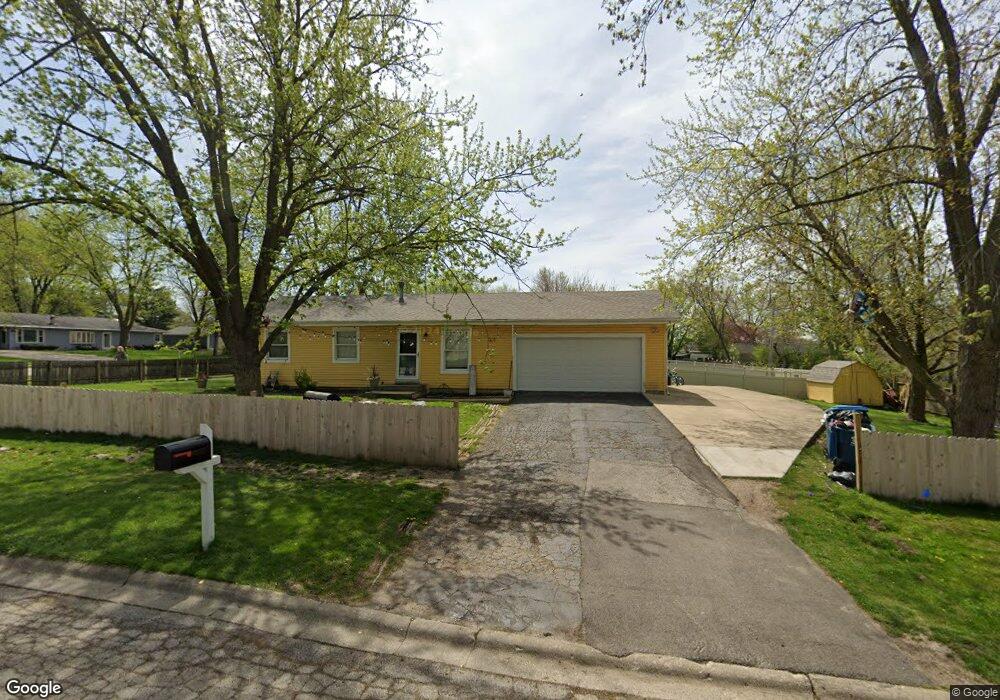
481 Robinhood Dr Aurora, IL 60505
Indian Creek NeighborhoodEstimated Value: $257,697 - $335,000
3
Beds
3
Baths
988
Sq Ft
$293/Sq Ft
Est. Value
About This Home
This home is located at 481 Robinhood Dr, Aurora, IL 60505 and is currently estimated at $289,674, approximately $293 per square foot. 481 Robinhood Dr is a home located in Kane County with nearby schools including Schneider Elementary School, Herget Middle School, and West Aurora High School.
Ownership History
Date
Name
Owned For
Owner Type
Purchase Details
Closed on
Oct 26, 2006
Sold by
Kimbro William C
Bought by
Sanchez Pablo R
Current Estimated Value
Home Financials for this Owner
Home Financials are based on the most recent Mortgage that was taken out on this home.
Original Mortgage
$151,600
Interest Rate
8%
Mortgage Type
Purchase Money Mortgage
Create a Home Valuation Report for This Property
The Home Valuation Report is an in-depth analysis detailing your home's value as well as a comparison with similar homes in the area
Home Values in the Area
Average Home Value in this Area
Purchase History
| Date | Buyer | Sale Price | Title Company |
|---|---|---|---|
| Sanchez Pablo R | $189,500 | Law Title Insurance Agency |
Source: Public Records
Mortgage History
| Date | Status | Borrower | Loan Amount |
|---|---|---|---|
| Previous Owner | Sanchez Pablo R | $151,600 |
Source: Public Records
Tax History
| Year | Tax Paid | Tax Assessment Tax Assessment Total Assessment is a certain percentage of the fair market value that is determined by local assessors to be the total taxable value of land and additions on the property. | Land | Improvement |
|---|---|---|---|---|
| 2024 | $5,132 | $72,820 | $12,573 | $60,247 |
| 2023 | $4,888 | $65,064 | $11,234 | $53,830 |
| 2022 | $5,064 | $63,211 | $10,250 | $52,961 |
| 2021 | $4,829 | $58,850 | $9,543 | $49,307 |
| 2020 | $4,901 | $58,357 | $8,864 | $49,493 |
| 2019 | $4,700 | $54,070 | $8,213 | $45,857 |
| 2018 | $4,435 | $50,421 | $7,597 | $42,824 |
| 2017 | $4,017 | $45,031 | $5,904 | $39,127 |
| 2016 | $3,800 | $41,769 | $5,061 | $36,708 |
| 2015 | -- | $36,552 | $4,352 | $32,200 |
| 2014 | -- | $35,155 | $4,186 | $30,969 |
| 2013 | -- | $36,689 | $4,126 | $32,563 |
Source: Public Records
Map
Nearby Homes
- 440 Woodlyn Dr
- 341 Woodlyn Dr Unit 3
- 1923 Schomer Ct
- 1220 Mitchell Rd
- 1578 Colleen Ln
- 1750 N Marywood Ave Unit 315
- 63 Oak Creek Ct
- 1009 Assell Ave
- 28 Oak Creek Ct
- 1826 N Farnsworth Ave
- 1050 N Farnsworth Ave Unit 111
- 461 Sullivan Rd
- 920 Zenner Ave
- 304 Hankes Ave
- 407 Butterfield Rd
- 338 Lakelawn Blvd
- 1751 Gary Ave
- 320 Sussex Ln
- Lot 1 Reckinger Rd
- 1942 Tall Oaks Dr Unit 3B
- 1840 Arlene Dr Unit 5
- 1830 Arlene Dr
- 480 Robinhood Dr
- 461 Robinhood Dr Unit 5
- 470 Konen Ave
- 470 Robinhood Dr
- 1820 Arlene Dr
- 1841 Arlene Dr
- 451 Robinhood Dr Unit 5
- 1831 Arlene Dr
- 1870 Arlene Dr
- 460 Konen Ave Unit 5
- 1851 Arlene Dr Unit 2
- 441 Robinhood Dr
- 450 Konen Ave
- 1821 Arlene Dr
- 450 Robinhood Dr
- 1880 Arlene Dr
- 440 Konen Ave
- 440 Robinhood Dr
Your Personal Tour Guide
Ask me questions while you tour the home.