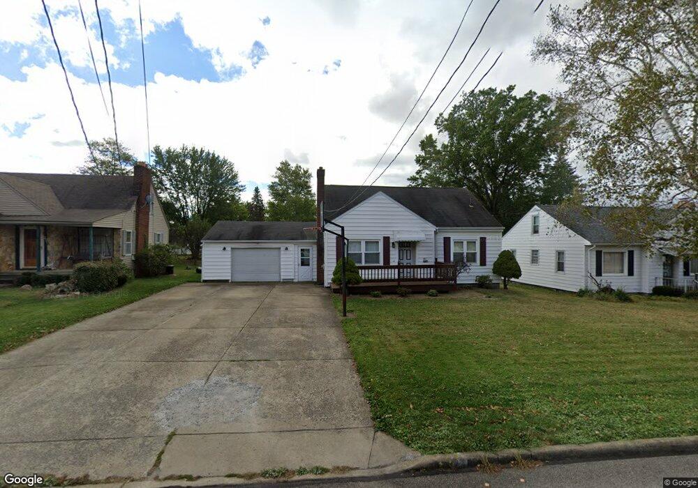
481 Robinson Rd Campbell, OH 44405
Campbell AreaEstimated Value: $130,882 - $183,000
About This Home
This home is located at 481 Robinson Rd, Campbell, OH 44405 and is currently estimated at $159,721, approximately $112 per square foot. 481 Robinson Rd is a home located in Mahoning County with nearby schools including Campbell Elementary School, Northeast Ohio Impact Academy, and Memorial High School.
Ownership History
We collect this data history from publicly available records. To have your information removed, we recommend requesting removal directly through your county’s website.
Purchase Details
Purchase Details
Home Values in the Area
Average Home Value in this Area
Purchase History
We collect this data history from publicly available records. To have your information removed, we recommend requesting removal directly through your county’s website.
| Date | Buyer | Sale Price | Title Company |
|---|---|---|---|
| -- | -- | ||
| $35,000 | -- |
Mortgage History
We collect this data history from publicly available records. To have your information removed, we recommend requesting removal directly through your county’s website.
| Date | Status | Borrower | Loan Amount |
|---|---|---|---|
| Previous Owner | $25,000 | ||
| Previous Owner | $20,000 |
Tax History
We collect this data history from publicly available records. To have your information removed, we recommend requesting removal directly through your county’s website.
| Year | Tax Paid | Tax Assessment Tax Assessment Total Assessment is a certain percentage of the fair market value that is determined by local assessors to be the total taxable value of land and additions on the property. | Land | Improvement |
|---|---|---|---|---|
| 2025 | $1,539 | $29,340 | $3,160 | $26,180 |
| 2024 | $1,540 | $29,340 | $3,160 | $26,180 |
| 2023 | $1,521 | $29,340 | $3,160 | $26,180 |
| 2022 | $1,070 | $17,260 | $3,160 | $14,100 |
| 2021 | $1,000 | $17,260 | $3,160 | $14,100 |
| 2020 | $1,016 | $17,260 | $3,160 | $14,100 |
| 2019 | $1,011 | $15,280 | $2,800 | $12,480 |
| 2018 | $1,035 | $15,280 | $2,800 | $12,480 |
| 2017 | $1,032 | $15,280 | $2,800 | $12,480 |
| 2016 | $1,147 | $18,030 | $3,200 | $14,830 |
| 2015 | $1,124 | $18,030 | $3,200 | $14,830 |
| 2014 | $1,121 | $18,030 | $3,200 | $14,830 |
| 2013 | $1,098 | $18,030 | $3,200 | $14,830 |
Map
- 78 Goretti Dr
- 190 Struthers Liberty Rd
- 3343 Lawnview Ave
- 3307 Upland Ave
- 810 Carlton Dr
- 159 Piccadilly St
- 664 Tenney Ave
- 640 Tenney Ave
- 798 Devitt Ave
- 1414 Overlook Ave
- 101 Pin Oak Place
- 737 Porter Ave
- 0 Harding St
- 374 Tenney Ave
- 525 Cynthia Dr
- 190 10th St
- 252 State St
- 0 New Castle Rd
- 0 Creed Cir Unit 5189573
- 311 Sanderson Ave
Ask me questions while you tour the home.