481 SE Channel Point Rd Shelton, WA 98584
Estimated Value: $574,360 - $682,000
2
Beds
2
Baths
1,806
Sq Ft
$333/Sq Ft
Est. Value
About This Home
This home is located at 481 SE Channel Point Rd, Shelton, WA 98584 and is currently estimated at $601,840, approximately $333 per square foot. 481 SE Channel Point Rd is a home located in Mason County with nearby schools including Southside Elementary School.
Ownership History
Date
Name
Owned For
Owner Type
Purchase Details
Closed on
Dec 28, 2006
Sold by
Payne Phillip E and Payne Elinor J
Bought by
Lester Michael L and Lester Mary Helen
Current Estimated Value
Home Financials for this Owner
Home Financials are based on the most recent Mortgage that was taken out on this home.
Original Mortgage
$350,000
Outstanding Balance
$224,525
Interest Rate
7.57%
Mortgage Type
Adjustable Rate Mortgage/ARM
Estimated Equity
$377,315
Create a Home Valuation Report for This Property
The Home Valuation Report is an in-depth analysis detailing your home's value as well as a comparison with similar homes in the area
Home Values in the Area
Average Home Value in this Area
Purchase History
| Date | Buyer | Sale Price | Title Company |
|---|---|---|---|
| Lester Michael L | $350,000 | Land Title Co |
Source: Public Records
Mortgage History
| Date | Status | Borrower | Loan Amount |
|---|---|---|---|
| Open | Lester Michael L | $350,000 |
Source: Public Records
Tax History Compared to Growth
Tax History
| Year | Tax Paid | Tax Assessment Tax Assessment Total Assessment is a certain percentage of the fair market value that is determined by local assessors to be the total taxable value of land and additions on the property. | Land | Improvement |
|---|---|---|---|---|
| 2025 | $3,299 | $414,365 | $223,735 | $190,630 |
| 2023 | $3,299 | $321,845 | $124,020 | $197,825 |
| 2022 | $3,617 | $349,190 | $186,680 | $162,510 |
| 2021 | $4,044 | $349,190 | $186,680 | $162,510 |
| 2020 | $3,848 | $353,705 | $202,915 | $150,790 |
| 2018 | $3,718 | $280,565 | $197,540 | $83,025 |
| 2017 | $3,606 | $280,565 | $197,540 | $83,025 |
| 2016 | $3,768 | $273,090 | $197,540 | $75,550 |
| 2015 | $3,581 | $294,085 | $214,970 | $79,115 |
| 2014 | -- | $272,580 | $197,540 | $75,040 |
| 2013 | -- | $295,155 | $203,350 | $91,805 |
Source: Public Records
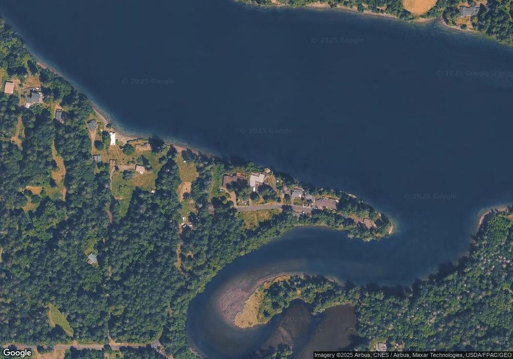
Map
Nearby Homes
- 101 SE Channel Point Rd
- 80 SE Channel Point Rd
- 641 E Libby Rd
- 91 SE Skookum View Dr
- 1 xxx SE Morgan Rd
- 294 E Libby Rd
- 4250 E Agate Rd
- 120 E Old Farm Rd
- 431 E Agate Beach Dr
- 4450 E Agate Rd
- 5981 SE Arcadia Rd
- 3355 SE Arcadia Rd
- 4 XX SE Sea Der Hok Ln
- 3253 SE Arcadia Rd
- 6292 SE Arcadia Rd
- 41 E Herron Place
- 0 Lot 136 E Agate Rd
- 120 E Lakeshore Dr W
- 230 E Stavis Rd
- 130 E Agate Dr
- 511 SE Channel Point Rd
- 461 SE Channel Point Rd
- 535 SE Channel Point Rd
- 537 SE Channel Point Rd
- 737 SE Channel Point Rd
- 351 SE Channel Point Rd
- 541 SE Channel Point Rd
- 580 SE Channel Point Rd
- 260 SE Brigham Ct
- 290 SE Channel Point Rd
- 3 SE Channel Point Rd
- 371 SE Channel Point Rd
- 6 SE Channel Point Rd
- 261 SE Brigham Ct
- 240 SE Channel Point Rd
- 161 E Tramac Place
- 241 SE Lagoon Ln
- 732 E Libby Rd
- 200 E Tramac Place
- 180 SE Channel Point Rd