481 Simpson Ave North Bend, OR 97459
Estimated Value: $628,440 - $799,000
5
Beds
2
Baths
1,584
Sq Ft
$441/Sq Ft
Est. Value
About This Home
This home is located at 481 Simpson Ave, North Bend, OR 97459 and is currently estimated at $697,813, approximately $440 per square foot. 481 Simpson Ave is a home located in Coos County with nearby schools including Hillcrest Elementary School, North Bay Elementary School, and North Bend Middle School.
Ownership History
Date
Name
Owned For
Owner Type
Purchase Details
Closed on
Dec 22, 2005
Sold by
Porteous Danielle R
Bought by
Mattson Markell Patricia
Current Estimated Value
Home Financials for this Owner
Home Financials are based on the most recent Mortgage that was taken out on this home.
Original Mortgage
$392,000
Outstanding Balance
$218,963
Interest Rate
6.36%
Mortgage Type
Fannie Mae Freddie Mac
Estimated Equity
$478,850
Purchase Details
Closed on
Mar 19, 2004
Sold by
Baker Elma A
Bought by
Porteous Danielle R
Home Financials for this Owner
Home Financials are based on the most recent Mortgage that was taken out on this home.
Original Mortgage
$276,000
Interest Rate
4.12%
Mortgage Type
Purchase Money Mortgage
Create a Home Valuation Report for This Property
The Home Valuation Report is an in-depth analysis detailing your home's value as well as a comparison with similar homes in the area
Purchase History
| Date | Buyer | Sale Price | Title Company |
|---|---|---|---|
| Mattson Markell Patricia | $490,000 | Fidelity National Title Co | |
| Porteous Danielle R | $345,000 | Ticor Title Insurance |
Source: Public Records
Mortgage History
| Date | Status | Borrower | Loan Amount |
|---|---|---|---|
| Open | Mattson Markell Patricia | $392,000 | |
| Previous Owner | Porteous Danielle R | $276,000 | |
| Closed | Porteous Danielle R | $51,750 |
Source: Public Records
Tax History
| Year | Tax Paid | Tax Assessment Tax Assessment Total Assessment is a certain percentage of the fair market value that is determined by local assessors to be the total taxable value of land and additions on the property. | Land | Improvement |
|---|---|---|---|---|
| 2025 | $5,192 | $350,830 | -- | -- |
| 2024 | $5,241 | $340,620 | -- | -- |
| 2023 | $5,087 | $330,700 | $0 | $0 |
| 2022 | $5,032 | $321,070 | $0 | $0 |
| 2021 | $5,155 | $311,720 | $0 | $0 |
| 2020 | $4,829 | $311,720 | $0 | $0 |
| 2019 | $4,619 | $293,840 | $0 | $0 |
| 2018 | $4,489 | $285,290 | $0 | $0 |
| 2017 | $4,364 | $276,990 | $0 | $0 |
| 2016 | $4,232 | $268,930 | $0 | $0 |
| 2015 | $3,923 | $261,100 | $0 | $0 |
| 2014 | $3,923 | $253,500 | $0 | $0 |
Source: Public Records
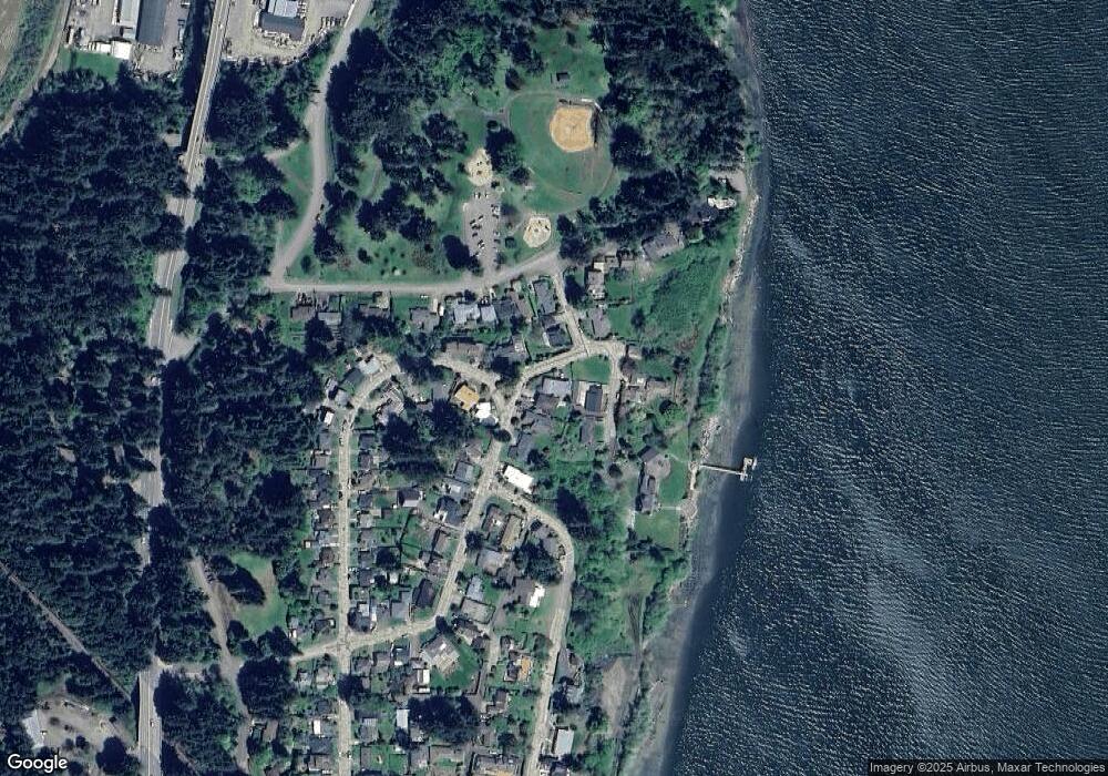
Map
Nearby Homes
- 451 Simpson Ave
- 1368 Bayview St
- 1332 Bayview St
- 1475 Sherman Ave
- 1524 Sheridan Ave
- 1662 Mcpherson Ave
- 0 Monroe St
- 1860 Meade Ave
- 1902 Monroe St
- 70298 Highway 101
- 66528 E Bay Rd
- 2260 Meade St
- 0 E Bay Rd Unit 133224808
- 67538 E Bay Rd
- 2318 Liberty St
- 66599 Quail Rd
- 1887 Madrona St
- 2142 Everett Ave
- 2253 Pony Creek Rd
- 2402 Stephanie Ln